Kavel 379
379
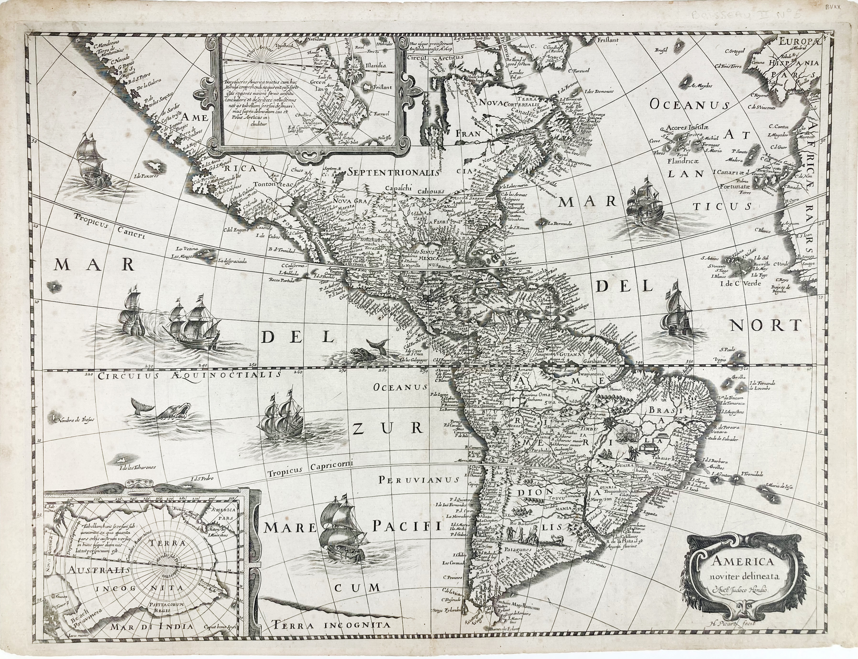
AMERICA -- "AMERICA NOVITER DELINEATA". (Paris, J. Boisseau, c. 1643). Plain engr. map by Hugues Picart after J. Hondius, w. 2 inset maps: Antarctic regions and Groenland. 385 x 510 mm. (A bit age-toned, but in v.g. condition).
Fine map with lots of place names, including sailing ships, sea monsters and other decorations. - Burden 249 (1 state only); Compare V.d Krogt 9000:1D.1.€ 1500
uitslag € 0
Terug