Kavel 489
489
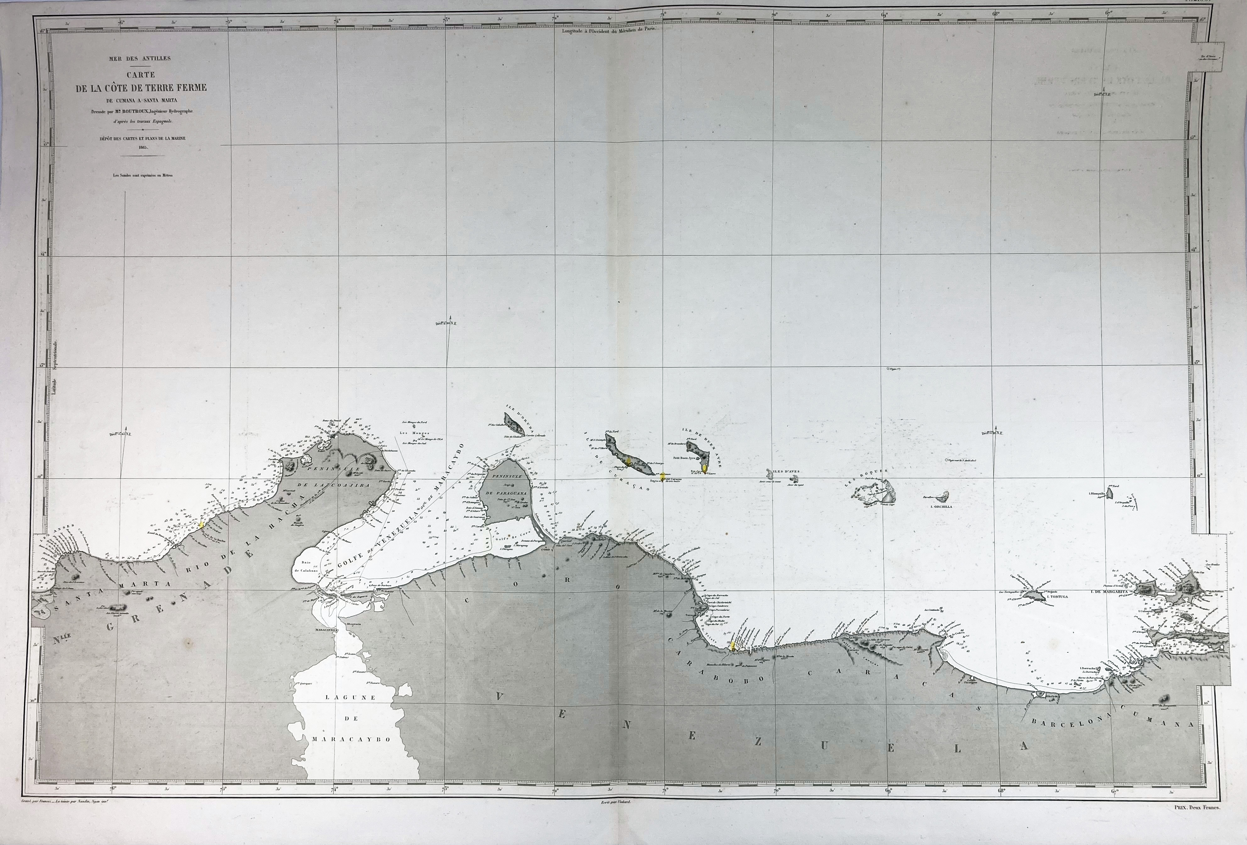
SOUTH AMERICA -- CARIBBEAN -- "MER DES ANTILLES. Carte de la côte de Terre Ferme de Cumana a Santa Marta". (Paris), Dépôt des Cartes et Plans de la Marine, 1865. Plain engr. chart of (a part of) the coast of Venezuela, the lighthouses indicated w. colour. 630 x 945 mm. - In fine condition.
€ 150
uitslag € 0
Terug