Kavel 493
493
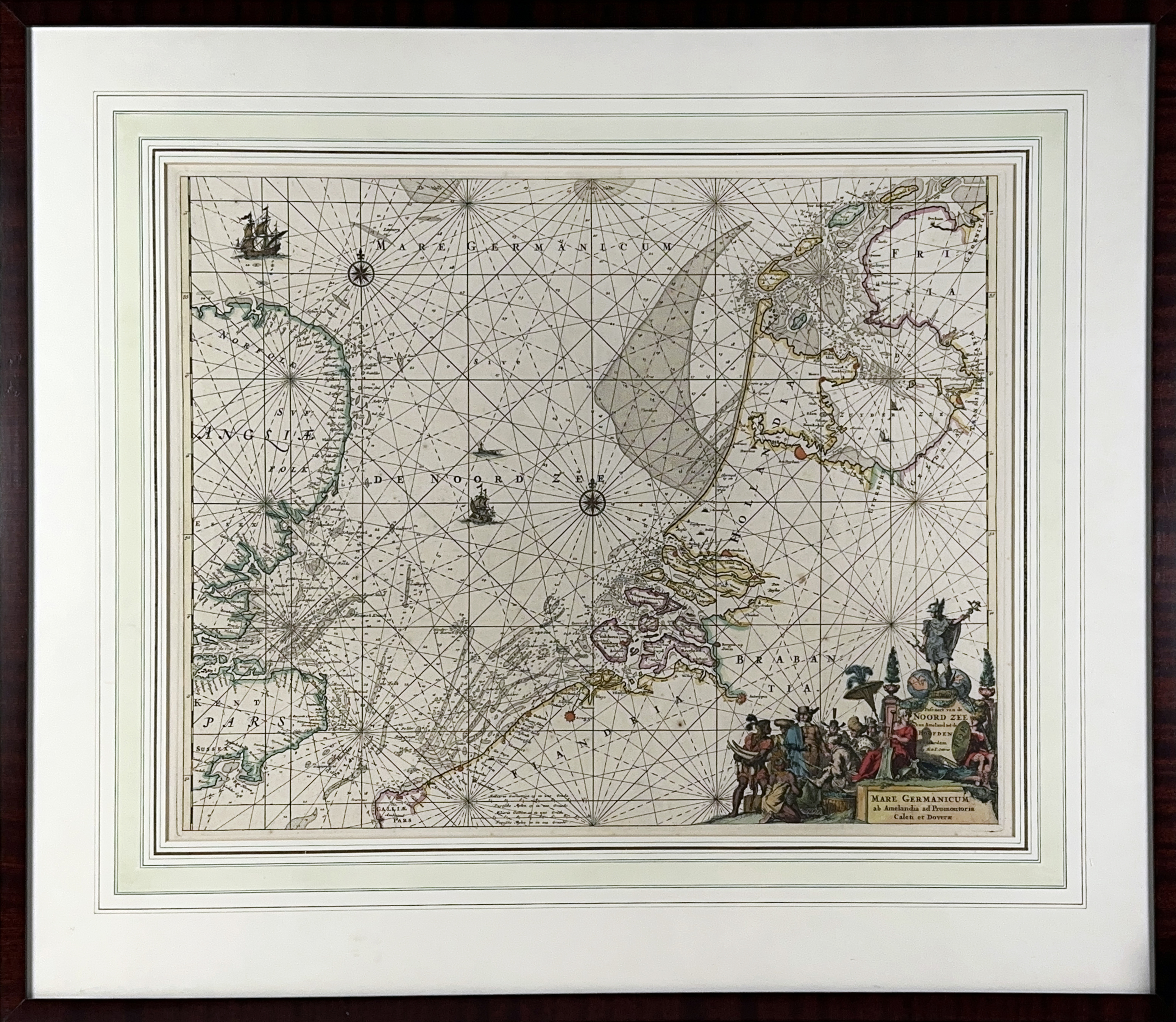
SEA CHARTS -- "PASCAERT van de Noord zee van Ameland tot de Hoofden/MARE GERMANICUM ab Amelandia ad Promontoria Caleti et Doveræ". Amst., R. & J. Ottens, (1739). Engr. nautical chart of the coastline of Belgium, the Netherlands and a part of Great Britain, cold. in outlines, w. cold. allegorical cartouche. 480 x 595 mm. Framed, glazed & under passepartout.
Revised edition of the Renard chart based on the template by Frederik de Wit. It shows the North Sea between the Pas de Calais and the West Frisian Islands, with detailed markings of water depths and sandbanks. The chart - with the address R. & J. Ottens - comes most likely from the 'Atlas de la navigation', which was published in the year 1739. - Koeman IV, Ren 2/10.€ 200
uitslag € 240
Terug