Kavel 488
488
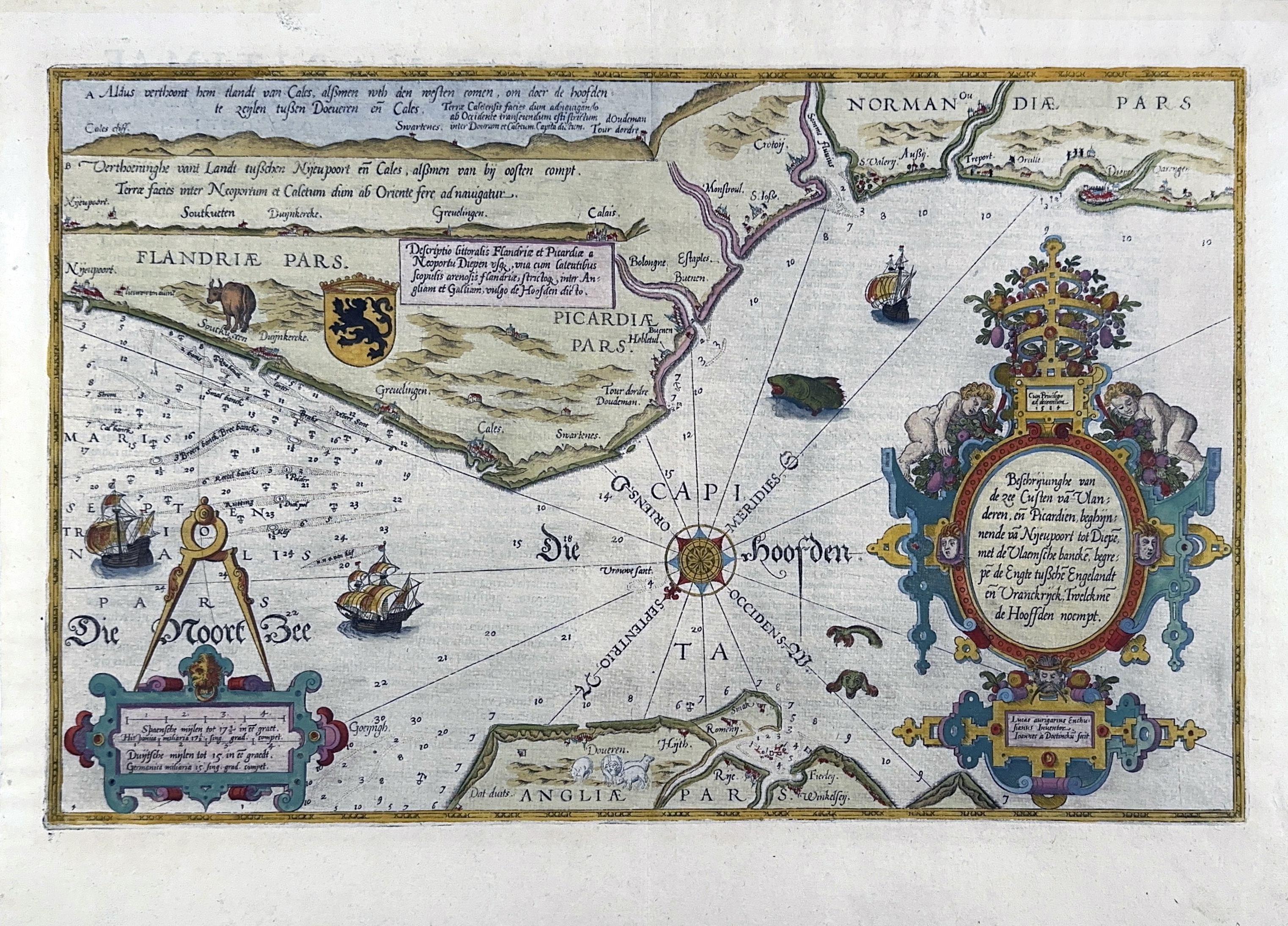
SEA CHARTS -- "BESCHRIJVINGHE van de zee custen van Vlanderen en Picardien (…)". (Leyden, c. 1588). Engr. sea chart in cont. handcolouring by J. van Deutecom after Lucas Waghenaer. 325 x 315 mm.
A detailed chart of the coast of Flanders and Normandy decorated by a large colorful baroque title cartouche, and the coat of arms of Flanders with a colorful scale cartouche decorated with a compass, a compass rose, several vessels and sea monsters. From a Latin ed. of the famous "Spieghel der Zeevaerdt". Text on verso (leaf 4, no pagination). - In excellent condition. Koeman IV, Wag 4B.€ 1200
uitslag € 1200
Terug