Kavel 461
461
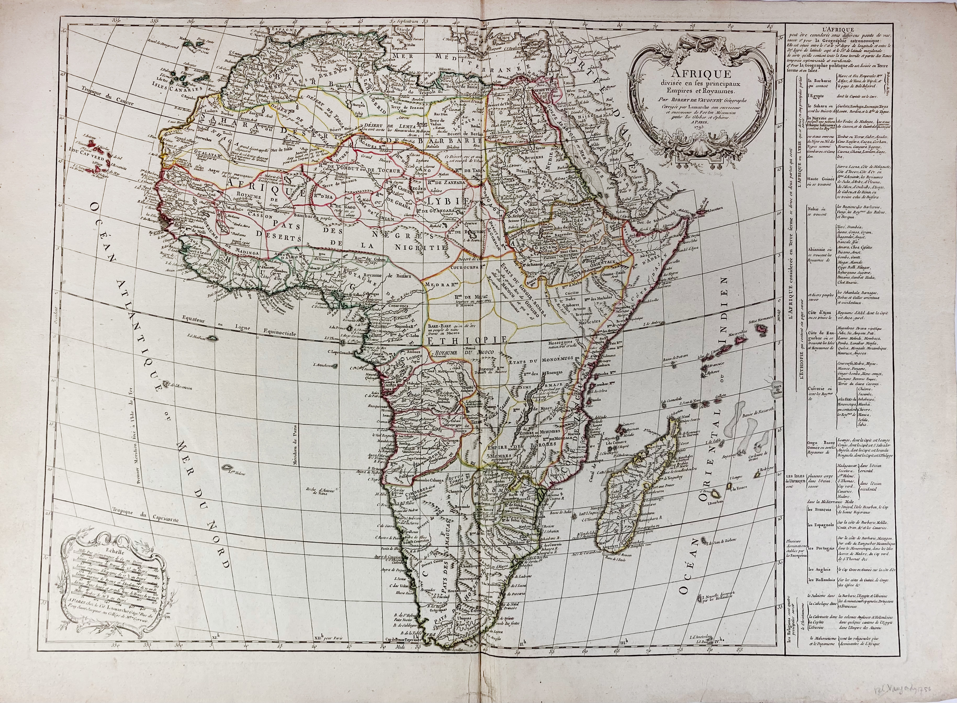
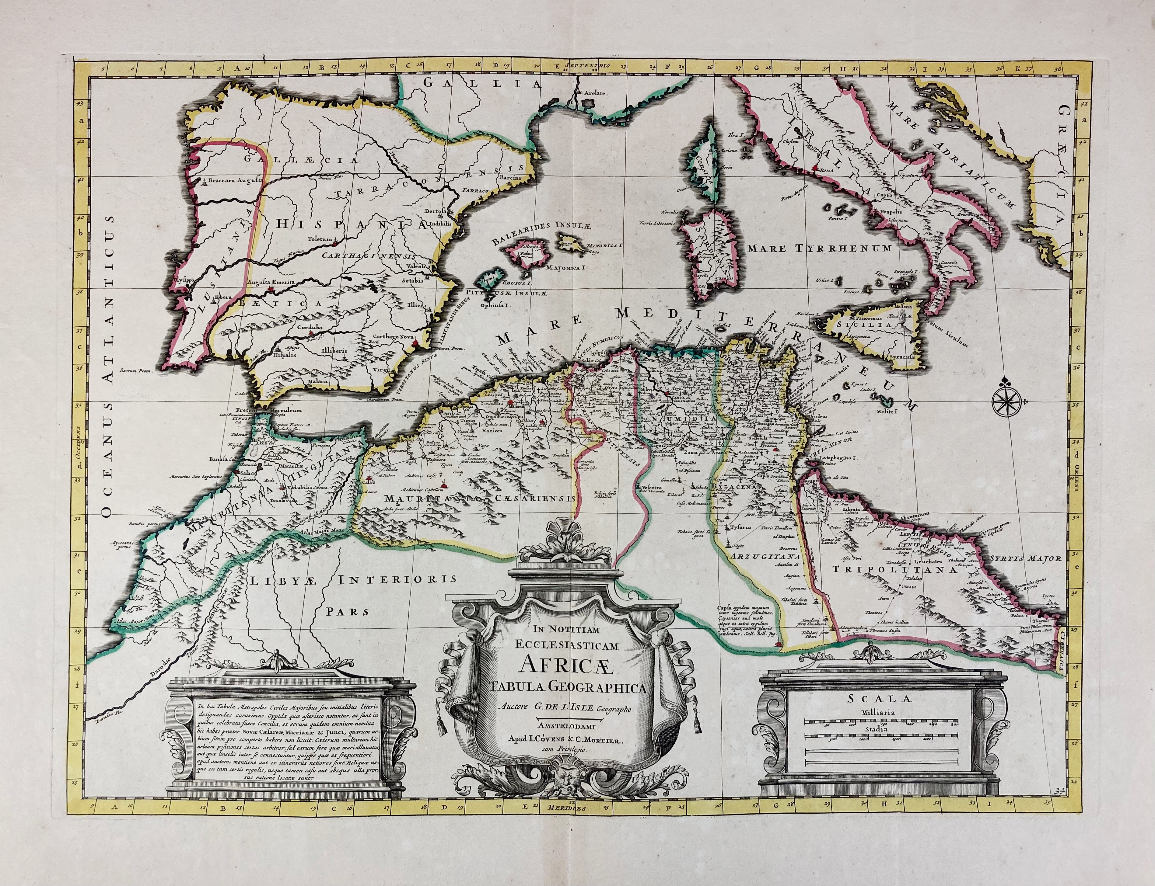
AFRICA -- "AFRIQUE divisée en ses principaux Empires et Royaumes". Paris, 1795. Engr. map, cold. in outlines, by Delamarche after G. and D. Robert de Vaugondy, w. 2 cartouches and extensive legend. 495 x 665 mm. (Central fold misfolded, but in v.g. condition). -- Added: "IN NOTITIAM Ecclesiasticam Africae Tabula Geographica". Amst., Covens & Mortier, (c. 1740). Engr. map in cont. colouring after G. de l'Isle. 387 x 545 mm. -- And 3 o. maps of Africa, 2 by Tirion (not cold.) and 1 consisting of 2 cold. maps on 1 leaf of the North of Africa by Blaeu ("Barbaria"). (5).
€ 130
uitslag € 160
Terug