Kavel 481
481
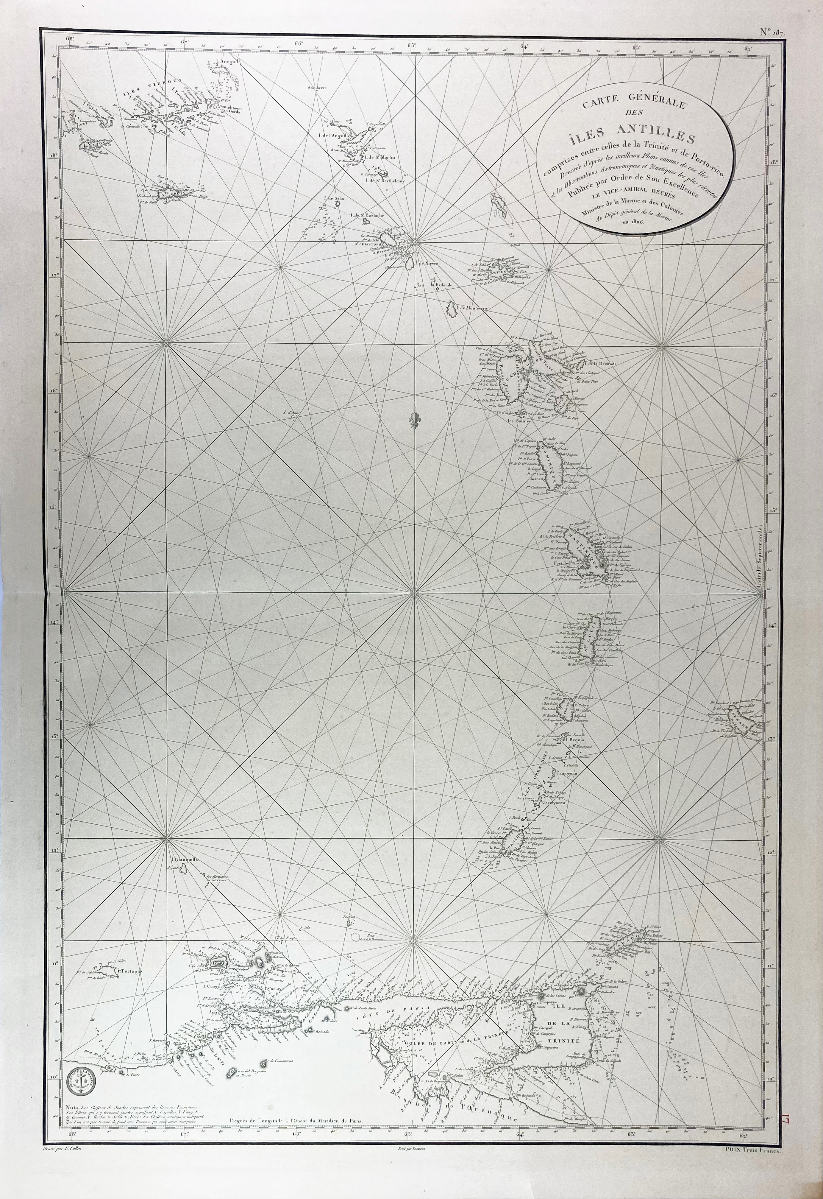
SOUTH AMERICA -- CARIBBEAN -- "CARTE GÉNÉRALE DES ÎLES ANTILLES comprises entre celles de la Trinité et de Porto-rico". (Paris), Ministre de la Marine et des Colonies, 1806 (later issue?). Very detailed plain engr. chart of the Antilles by E. Collin. 920 x 620 mm. In very good condition. - Some details differing from the previous map.
€ 150
uitslag € 140
Terug