Kavel 478
478
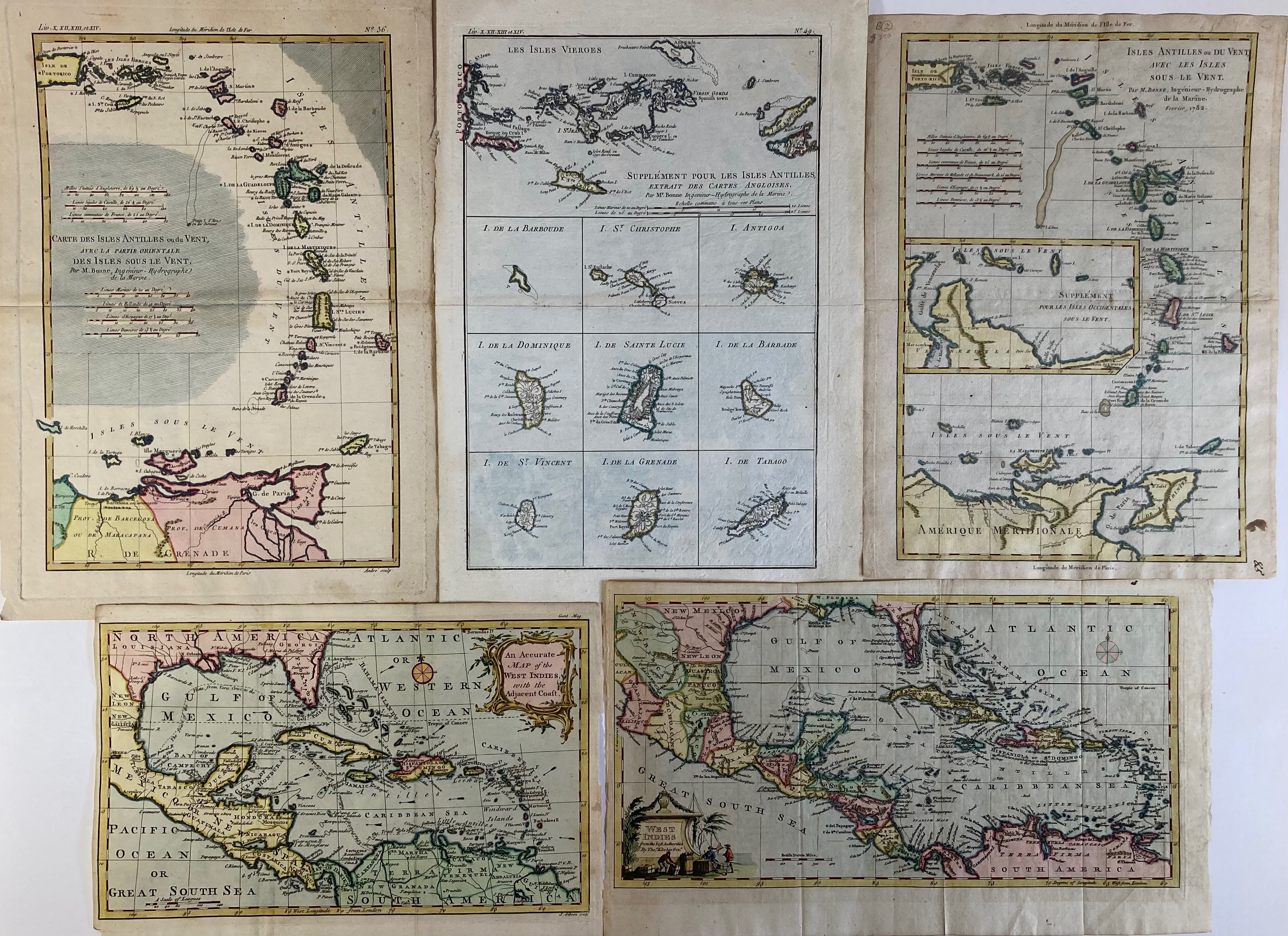
SOUTH AMERICA -- CARIBBEAN -- "AN ACCURATE MAP OF THE WEST INDIES, with the Adjacent Coast". (Lond., Printed for R. Baldwin, 1762). Engr. map in cont. colouring by J. Gibson. 186 x 300 mm. -- Added: "WEST INDIES from the best authorities". (London, 1782). Engr. map in cont. colouring by Th. Kitchin. 190 x 352 mm. -- And: "ISLES ANTILLES ou Du Vent avec les Isles Sous le Vent". (Paris), 1782. Engr. map in cont. colouring by (R.) Bonne. 335 x 239 mm. -- And 2 similar of the Caribbean, incl. 1 by Bonne. (5).
€ 200
uitslag € 160
Terug