Kavel 362
362
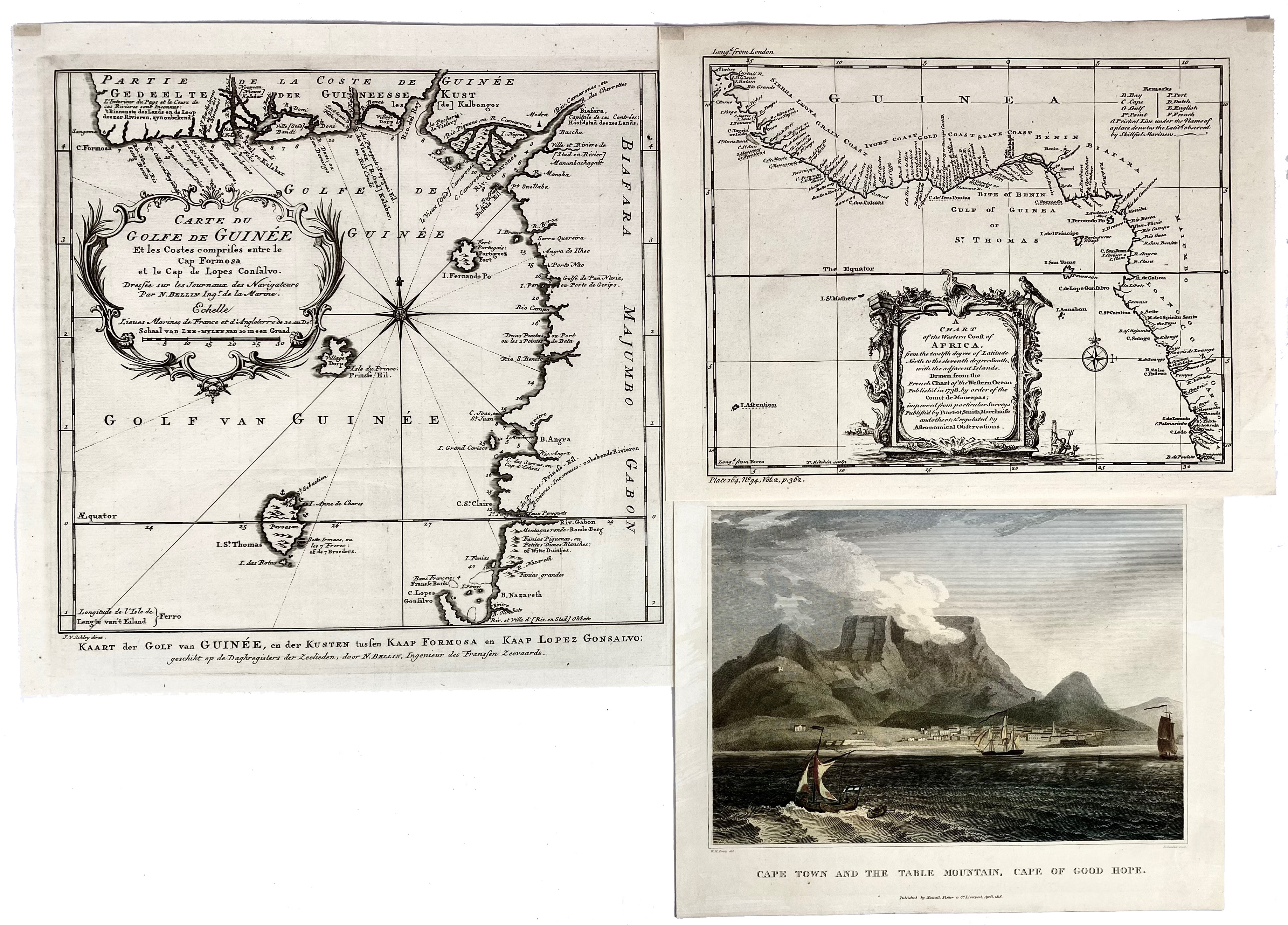
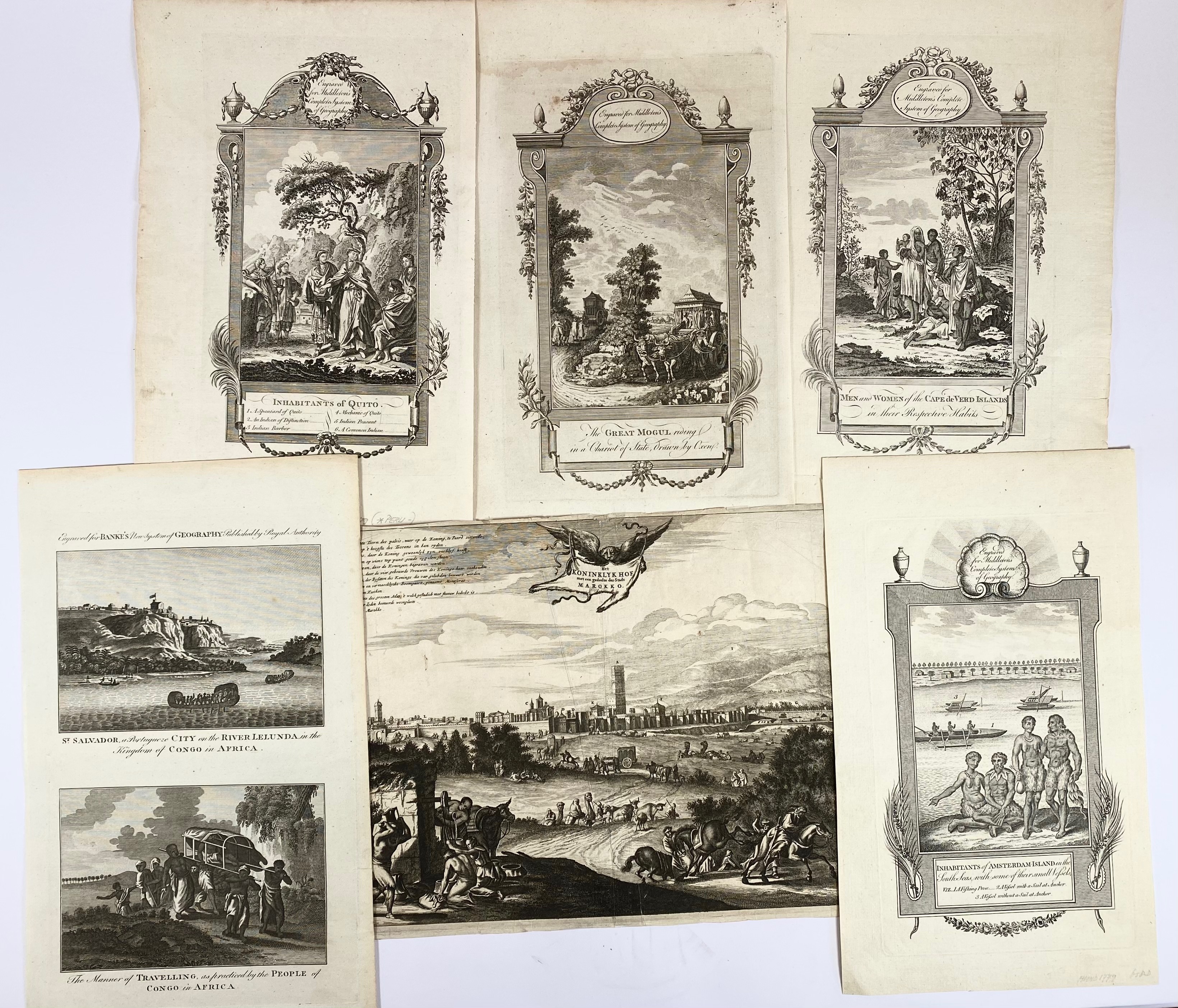
AFRICA -- "CARTE DU GOLFE DE GUINÉE (…)". (c. 1750). Engr. map by N. Bellin. 282 x 288 mm. -- "A CHART OF the Western Coast of Africa". (Barbot Smith, 1738). Engr. map. 208 x 250 mm. -- "CAPE TOWN and the Table Mountain, Cape of Good Hope. Liverpool, 1816. Engr. cold. view by E. Goodall. 185 x 226 mm. -- And 6 o. (incl. 4 engrs. from Middleton's 'Complete System of Geography'). (9).
€ 140
uitslag € 110
Terug