Kavel 611
611
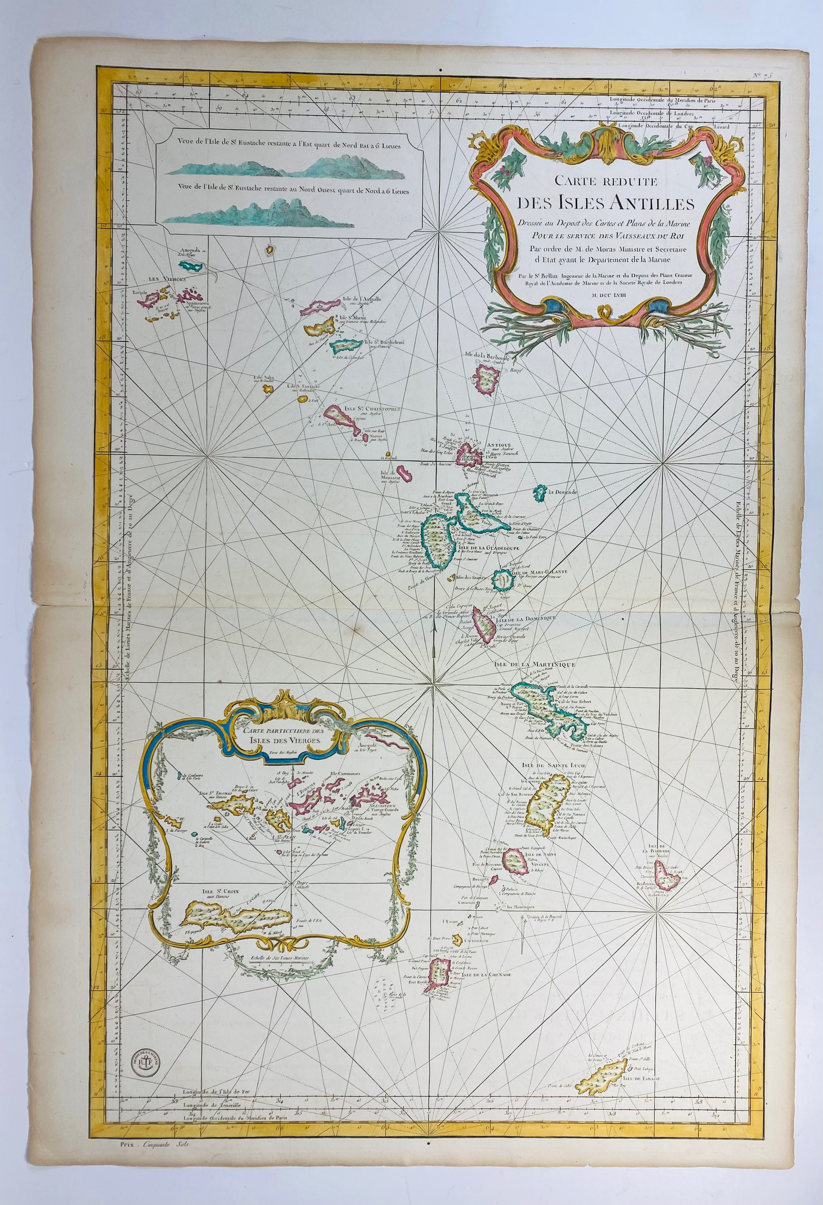
SOUTH AMERICA -- CARIBBEAN -- "CARTE RÉDUITE DES ISLES ANTILLES Réduite des Isles Antilles". (Par.), J.N. Bellin, 1758. Engr. sea chart in cont. col. 907 x 580 mm. (A few small tears/chips in margins, margins sl. browned, a few spots).
This large-scale sea chart covers the region from the Virgin Islands to Grenada and Tobago in great detail.€ 300
uitslag € 500
Terug