Kavel 437

437
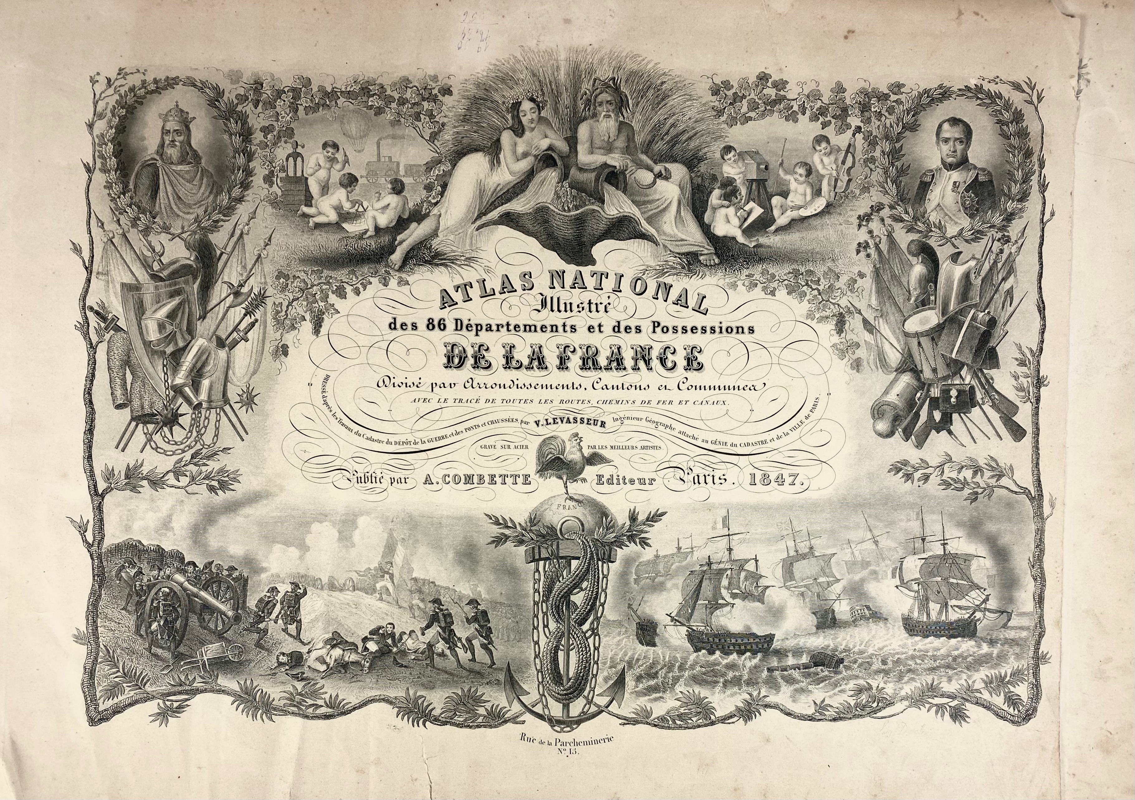
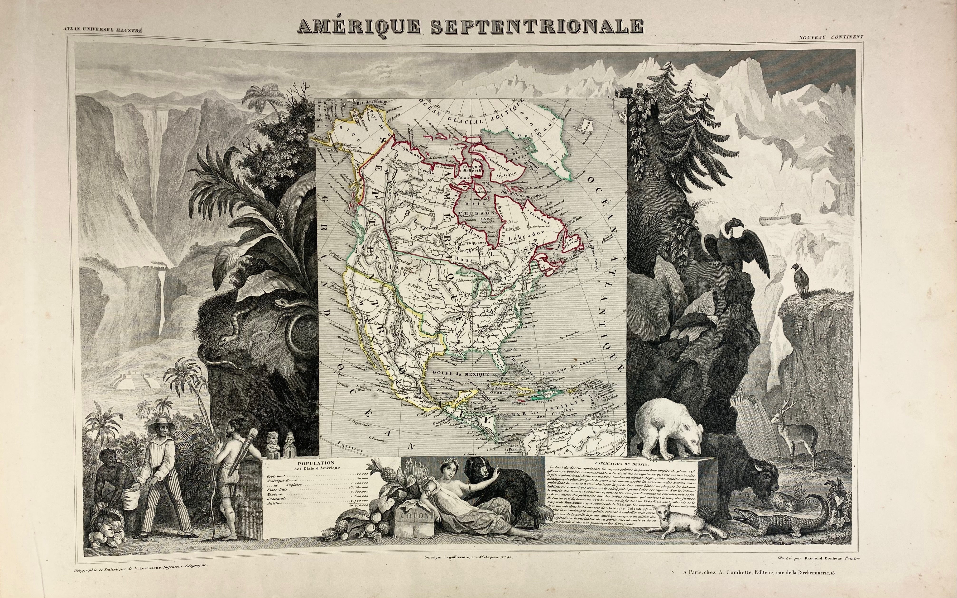
LEVASSEUR, E. Atlas national illustré des 86 départements et des possessions de la France. Par., A. Combette, 1847. W. steel-engr. ti., table, map of France, 93 numb. maps of the colonies and departments & 6 maps of the continents, cold. in outlines. Lge-fol.-obl. Cont. h. mor. w. dec. gilt back. (Spine rubbed/chafed, corners bumped, some marg. stains, sl. browned).
€ 120
uitslag € 240
Terug