Kavel 436
436
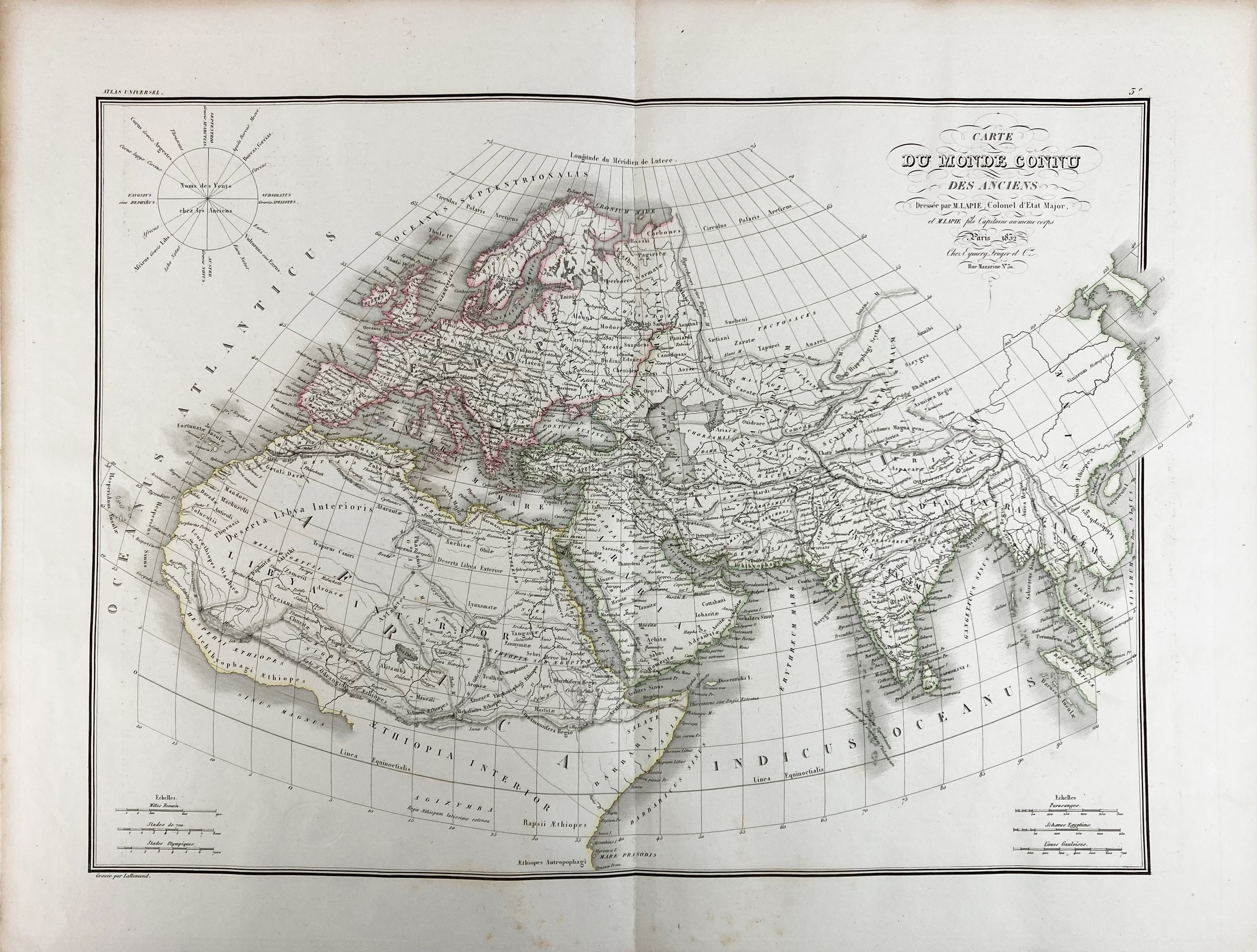
(LAPIE, P. Atlas universel de géographie ancienne et moderne (…). Par., Eymery, Fruger & Cie, c. 1832). W. 50 fine engr. maps, partly cold. in outlines. Lge-fol. Cont. hcf. w. marbled sides and ties. (First two maps w. libr. stamp in image, some foxing as usual, map 22 w. faint circular stain).
Individual maps dated 1828-1832 and all warranted w. small blind stamp. Contains i.a. a worldmap (presented in 2 hemispheres/Mercator-projection), a celestial map, a representation of the planetary system and maps of Europe, India, China, Oceania, Africa, North- and South-America.€ 300
uitslag € 340
Terug