Kavel 514
514
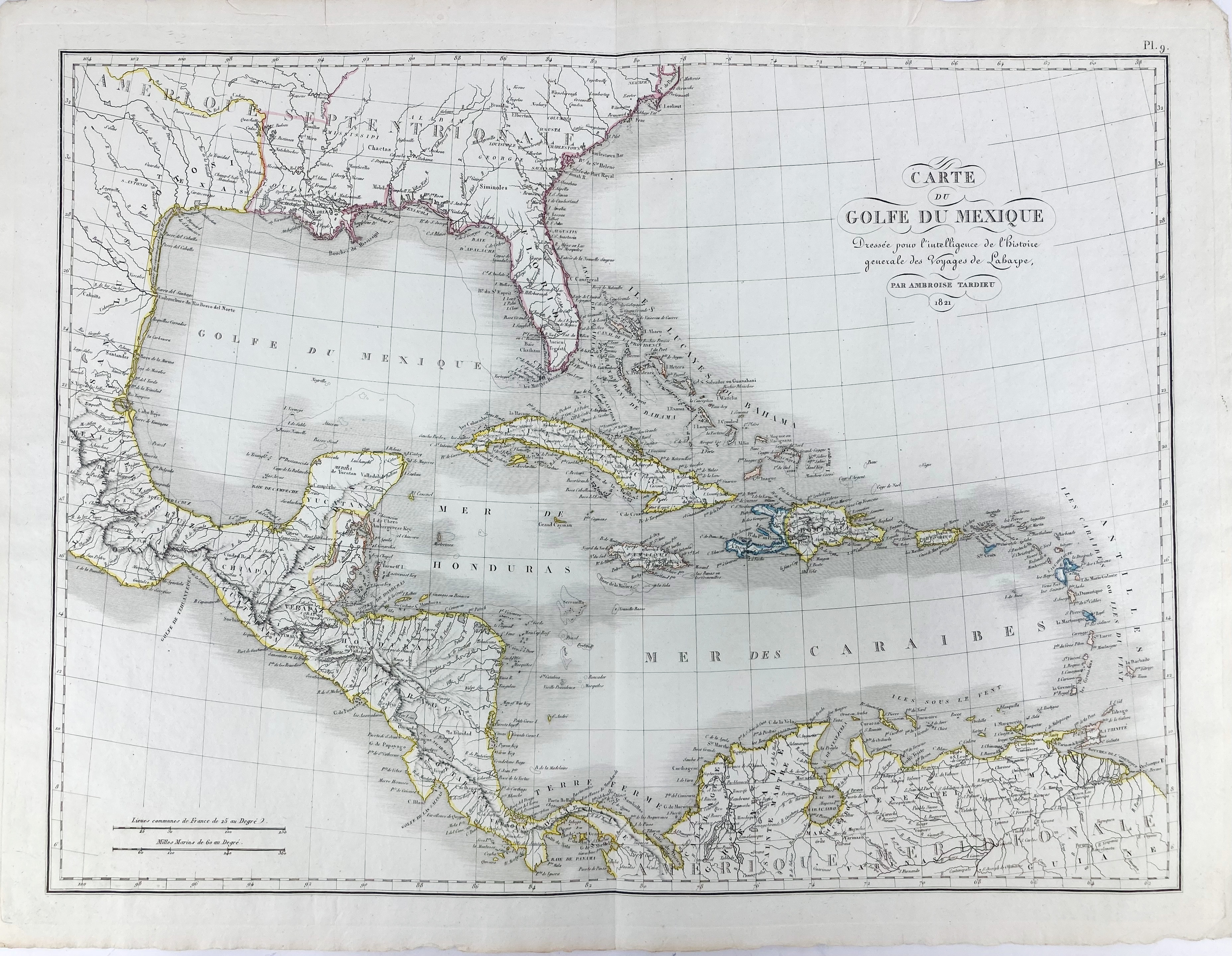
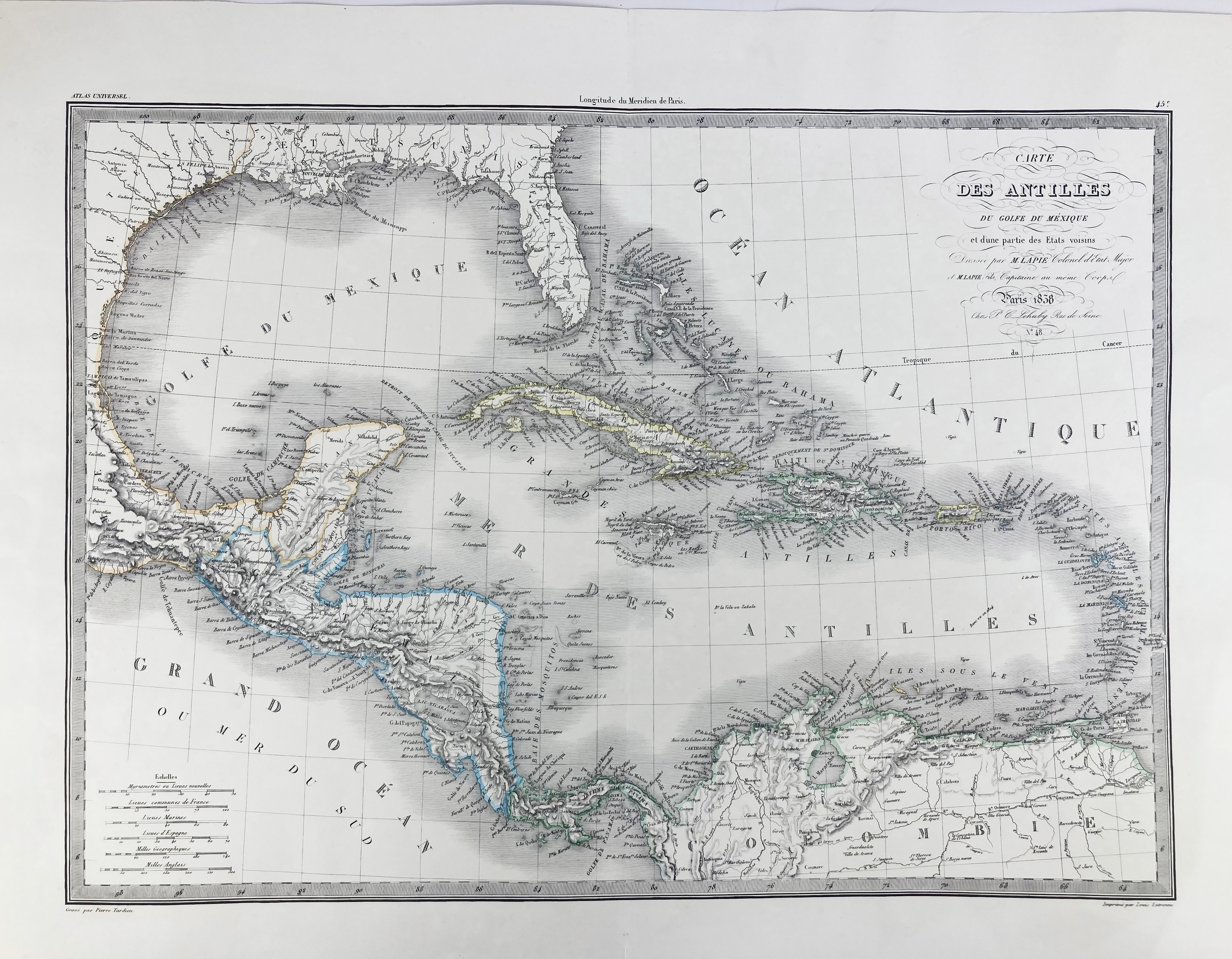
WEST INDIES -- "CARTE DU GOLFE DU MEXIQUE. Dressée pour l'intelligence de l'histoire generale des Voyages de Laharpe, par Ambroise Tadieu". 1821. Engr. map, cold. in outlines. 405 x 540 mm. -- "CARTE DES ANTILLES du Golfe de Mexique et d'une partie des Etats voisins". Paris, L. Letronne for P.C. Lehuby, 1838. Engr. map by P. Tardieu after (P.) Lapie and (P.) Lapie Fils. 395 x 550 mm. -- Added: 7 maps and views of Cuba/Hispaniola, St. Lucia, Martinique and Antigoa, and two views of Martinique and Jamaica, partly cold. by hand. -- And 1 o. (9).
€ 120
uitslag € 90
Terug