Kavel 506
506
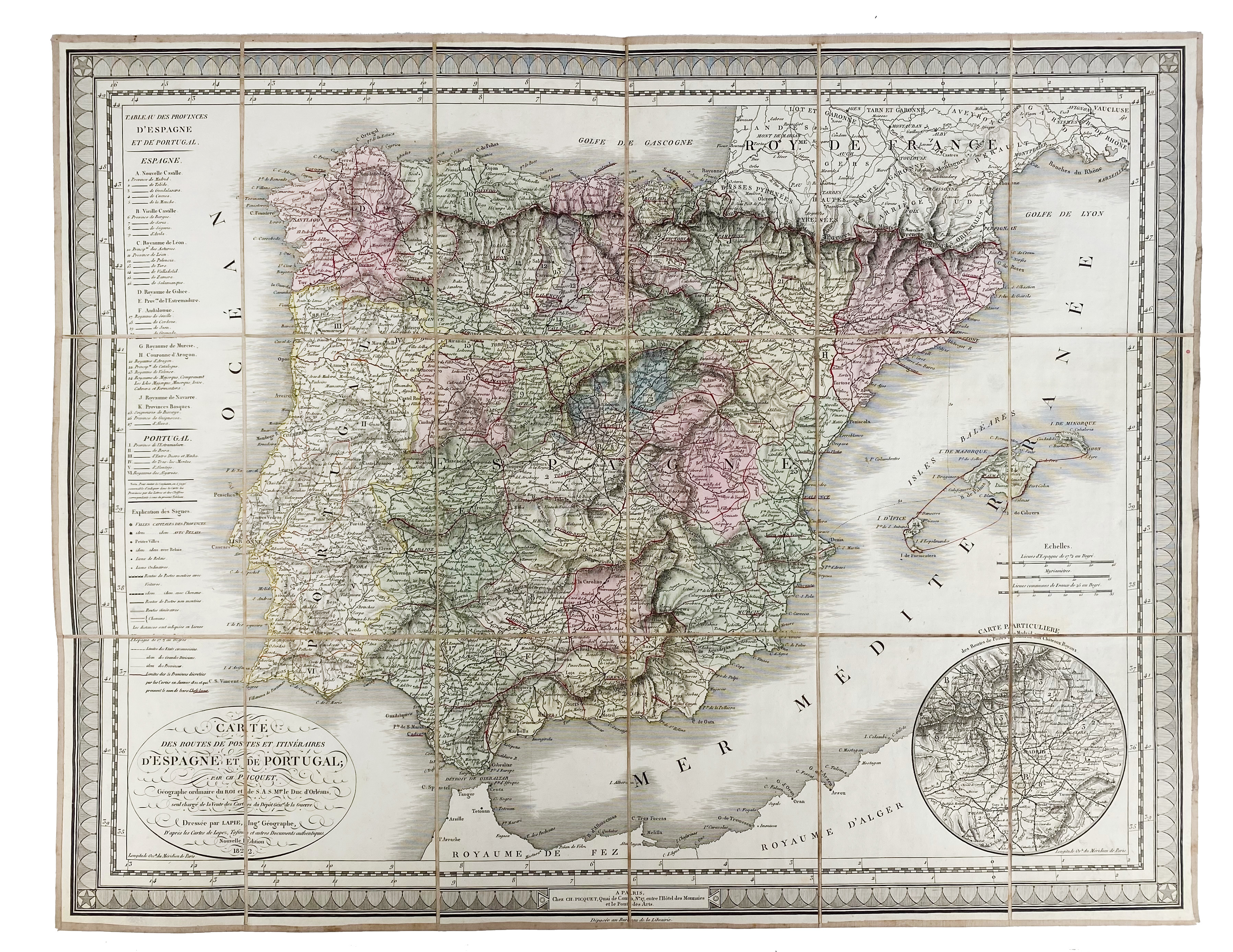
SPAIN -- "CARTE DES ROUTES de postes et itinéraires d'Espagne et de Portugal". Nouv. éd. Par., Ch. Piquet, 1822. Engr. cold. map by Ch. Piquet after Lapie, w. cartouche and inset map of Madrid, within dec. border, dissected in 18 parts, mounted on linen. Total size 500 x 645 mm. In sleeve and slipcase w. red ti.-label 'Espagne'. (Slipcase a bit rubbed).
Pierre Lapie's engraved folding map of the Iberian Peninsula showing the post routes and roads. Post route maps of Spain are fairly scarce, especially if published before the middle of the 19th century.€ 200
uitslag € 200
Terug