Kavel 428
428
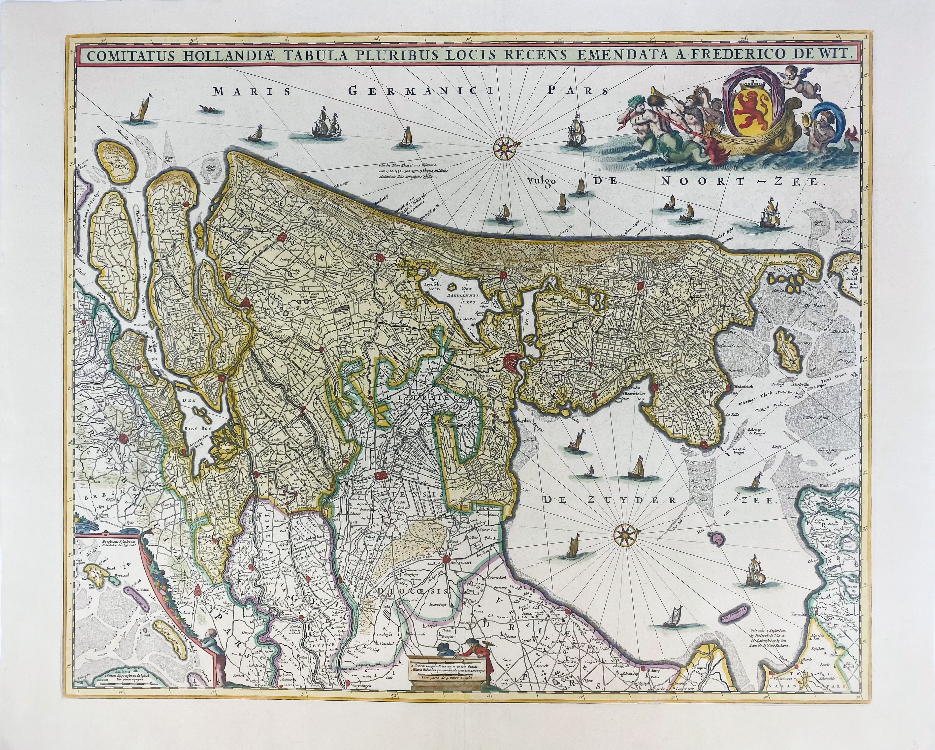
LOW COUNTRIES -- "COMITATUS HOLLANDIAE tabula pluribus locis recens emendata a F. de Wit." Amst., F. de Wit, (c. 16905). Engr. map in cont. handcolouring w. cartouche, small inset map of the Wadden Islands, 2 compass roses and many ships. 455 x 550 mm.
Blonk-van der Wijst 61.3, the 3rd state (of 6).€ 140
uitslag € 130
Terug