Kavel 389
389
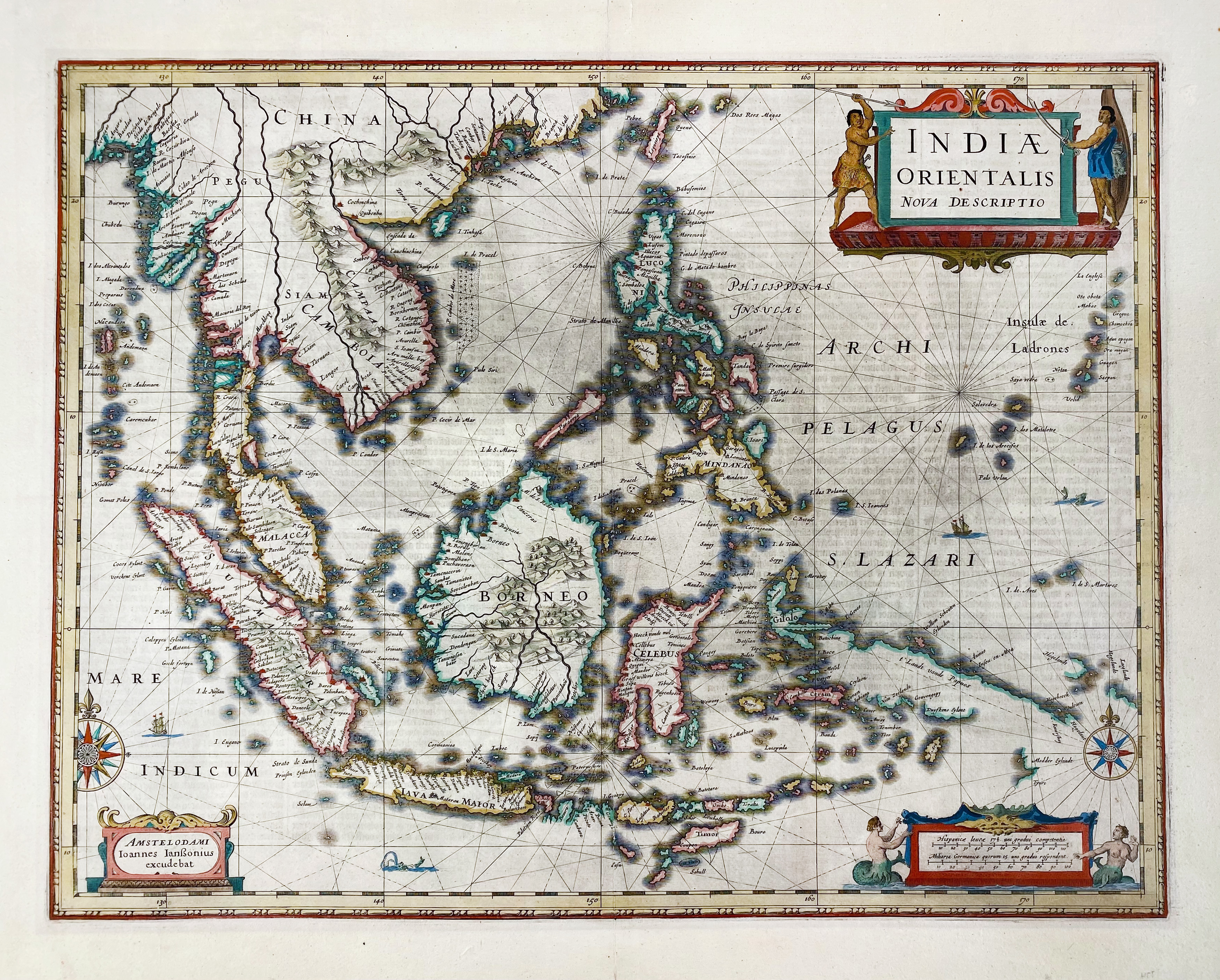
ASIA -- "INDIAE ORIENTALIS Nova Descriptio". Amst., J. Janssonius, (1633 or later). Engr. cont. handcold. map, w. 3 dec. cartouches, a ship battle and compass roses. (Laid down, traces of former framing, sl. age-toned).
An important map of South East Asia, noteworthy for being amongst the first maps to include any information on the discoveries made by the Dutch vessel Duyfkens in New Guinea and the Gulf of Carpentaria in 1605-6. - V.d. Krogt I, 8500:1B.1.€ 500
uitslag € 500
Terug