Kavel 828
828
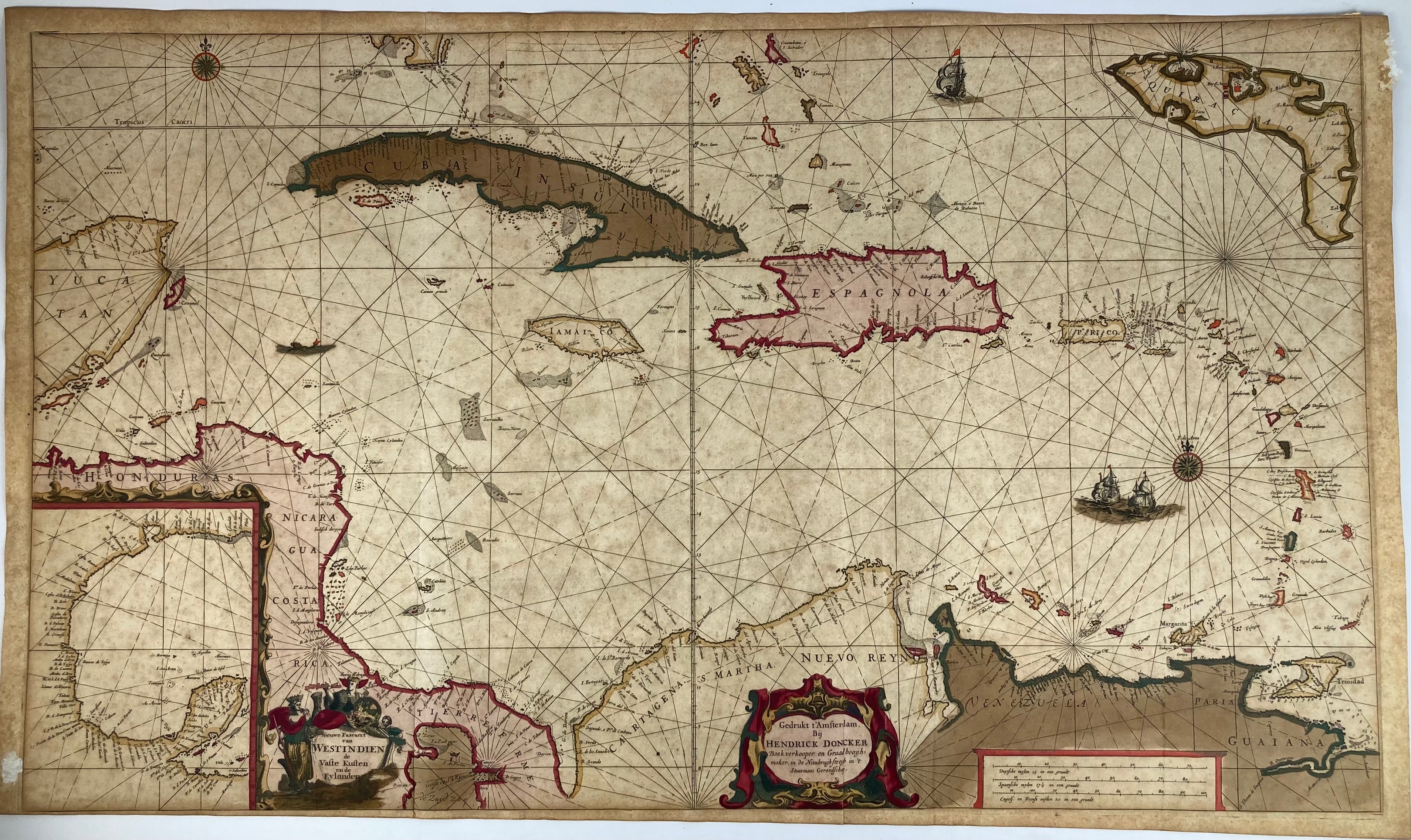
WEST INDIES -- "NIEUWE PASCAERT VAN WESTINDIEN de Vaste Kusten en de Eylanden". Amst., H. Doncker, n.d. (c. 1705). Engr. chart of the West Indies w. compass rose, scale indicator and 2 cartouches, cold. by hand. 520 x 890 mm. (Slightly browned/foxed, upper & lower margin partly short/trimmed to plate edges).
Depicting i.a. the peninsula of Yucatan, Cuba, Hispaniola, Jamaica and Curaçao. With inset of the Gulf of Mexico. - Koeman IV, Don 29, p. 172.€ 800
uitslag € 3000
Terug

