Kavel 827
827
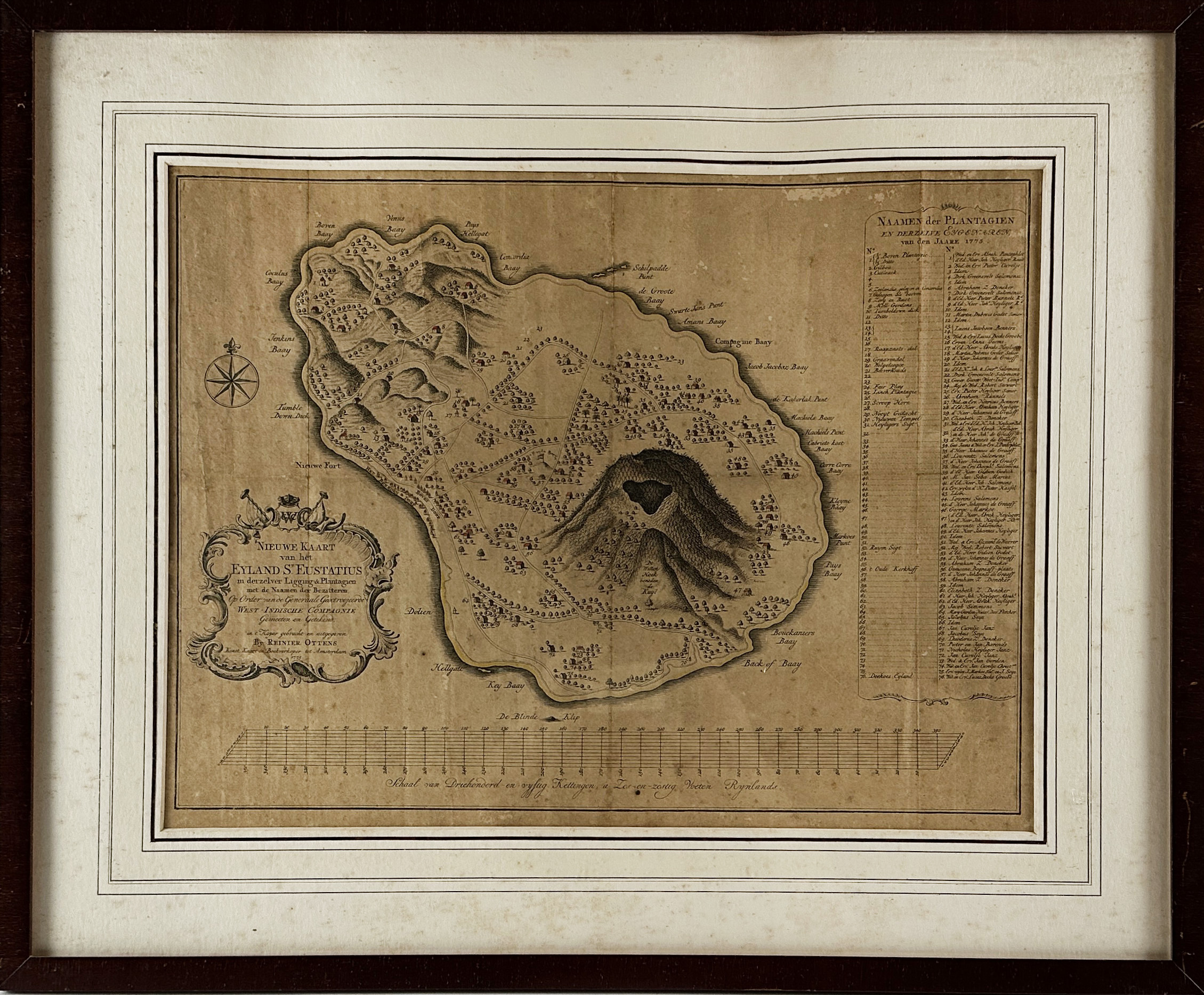
WEST INDIES -- "NIEUWE KAART van het Eyland St. Eustatius in derzelver Ligging & Plantagien met de Naamen der Bezitteren". Amst., R. Ottens, 1775. Plain engr. map w. title cartouche (w. initals of the WIC), compass rose, scale bar and key to the names of the owners of the plantations. 370 x 490 mm. Framed, under passepartout and glazed. (Rather heavily browned, some skimming by silverfish, uninspected out of frame).
Scarce. Renkema SE 8.€ 500
uitslag € 750
Terug
