Kavel 548
548
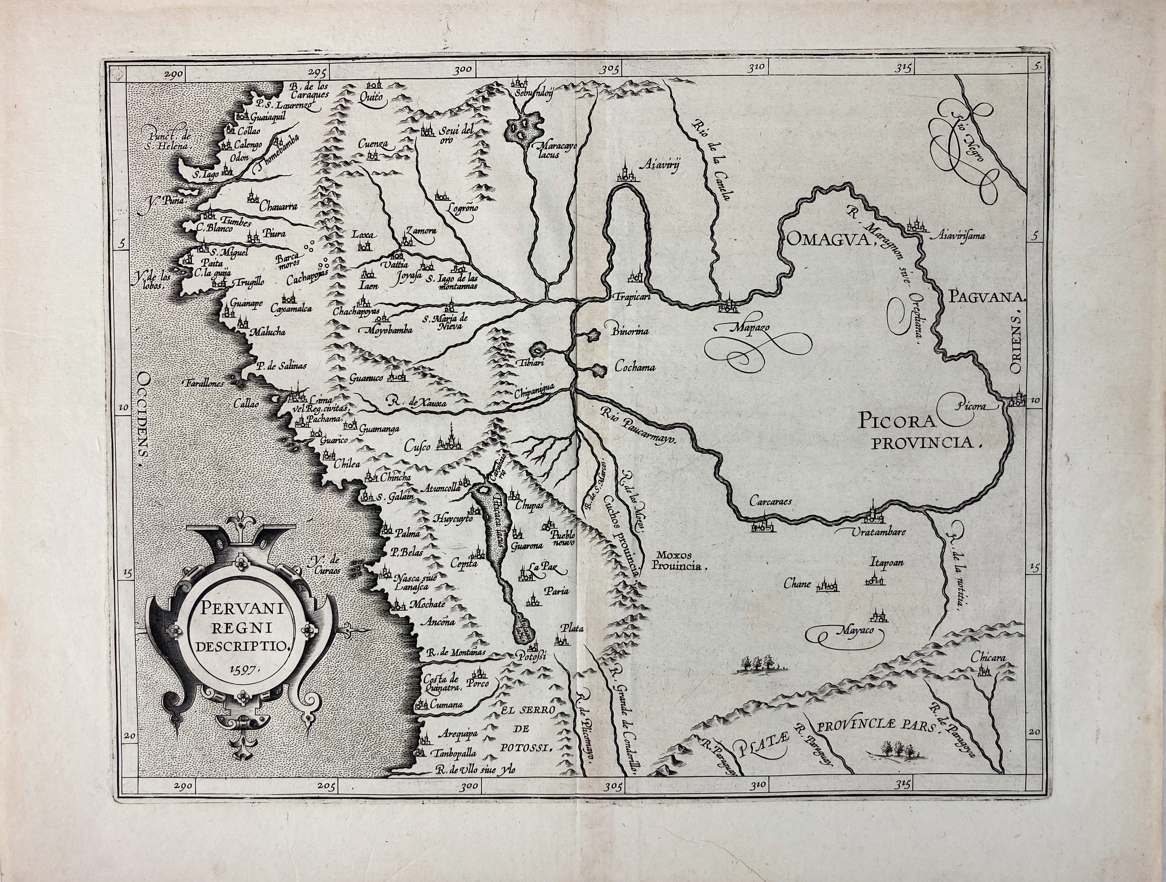
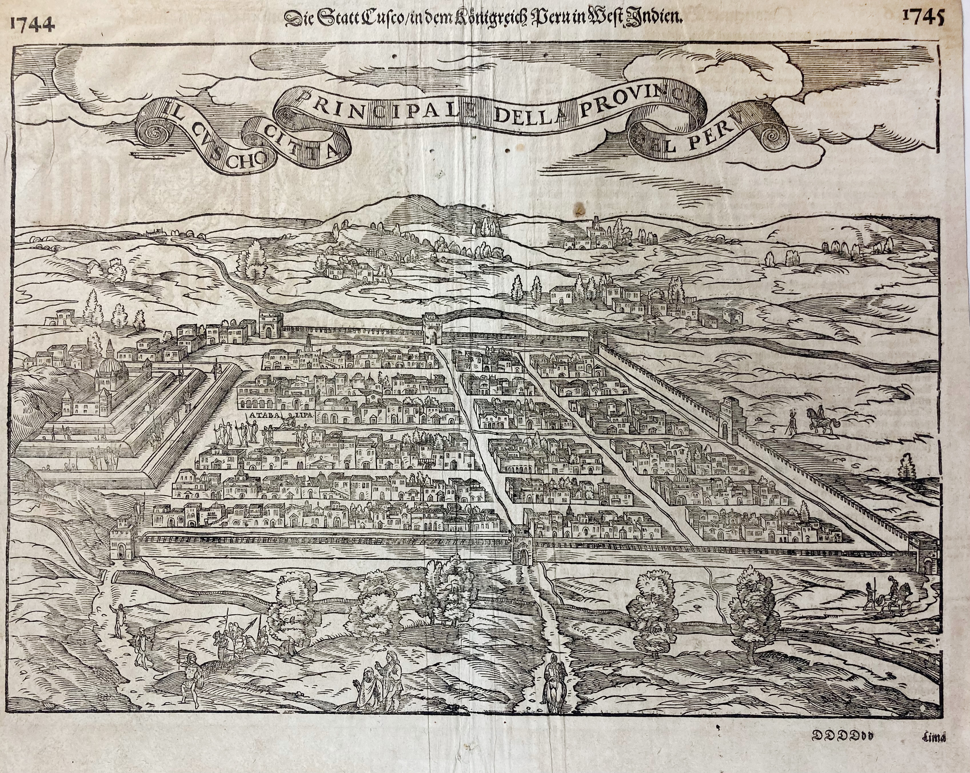
SOUTH AMERICA -- PERU -- "PERUANI REGNI DESCRIPTIO". 1597. Plain engr. map of Peru. 235 x 294 mm. -- Added: "DIE STATT CUSCO in dem Königreich Peru in West Indien". Woodcut perspective view of Cusco, taken from S. Münster's 'Cosmographia'. 2nd half 16th/1st quarter 17th c. 275 x 378 mm (block size). (Central fold rumpled, some small worm holes in image). -- (2).
Ad 1: From one of the early editions of 'Descriptionis Ptolemaicae Augmentum' by C. v. Wytfliet. First state. V.d. Krogt III, 9820:371.1. Most of Van Wytfliet's maps are the first or among the earliest of specific regions of North and South America.€ 180
uitslag € 140
Terug