Kavel 543
543
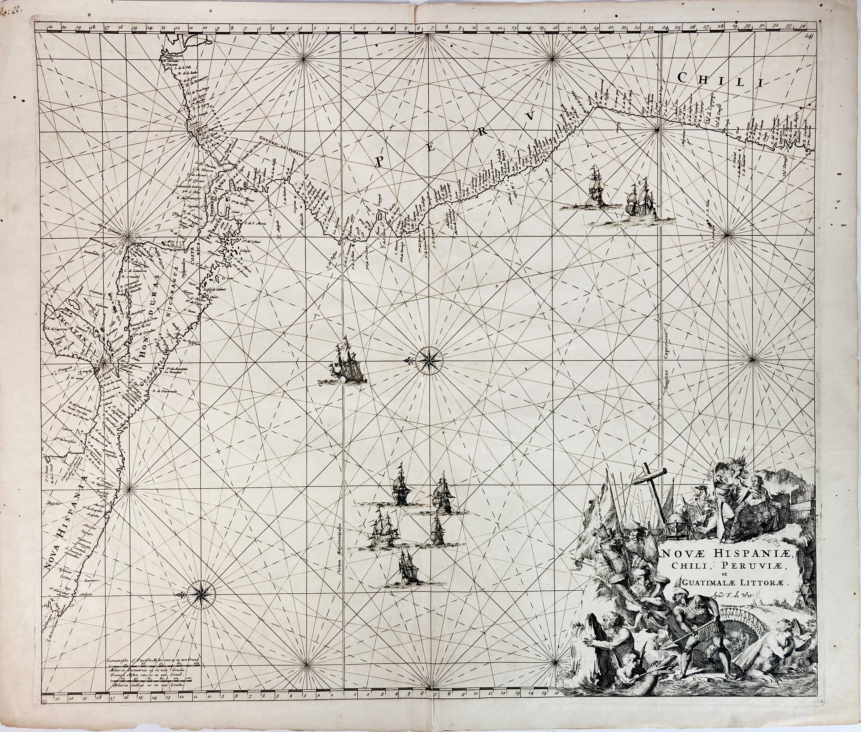
SOUTH AMERICA -- "NOVAE HISPANIAE, CHILI, PERUVIAE, et Guatimale Littorae". (Amst.), F. de Wit, (1675). Plain engr. sea chart of the Pacific Coast from Xalisco, Mexico, to Puerta Bairres and Rio Cachapoal in Chile. 505 x 572 mm. (11 small wormholes in image unfortunately).
Koeman IV, M. Wit 1, p. 519. Sold w.a.f., not subject to return.€ 160
uitslag € 220
Terug