Kavel 989
989
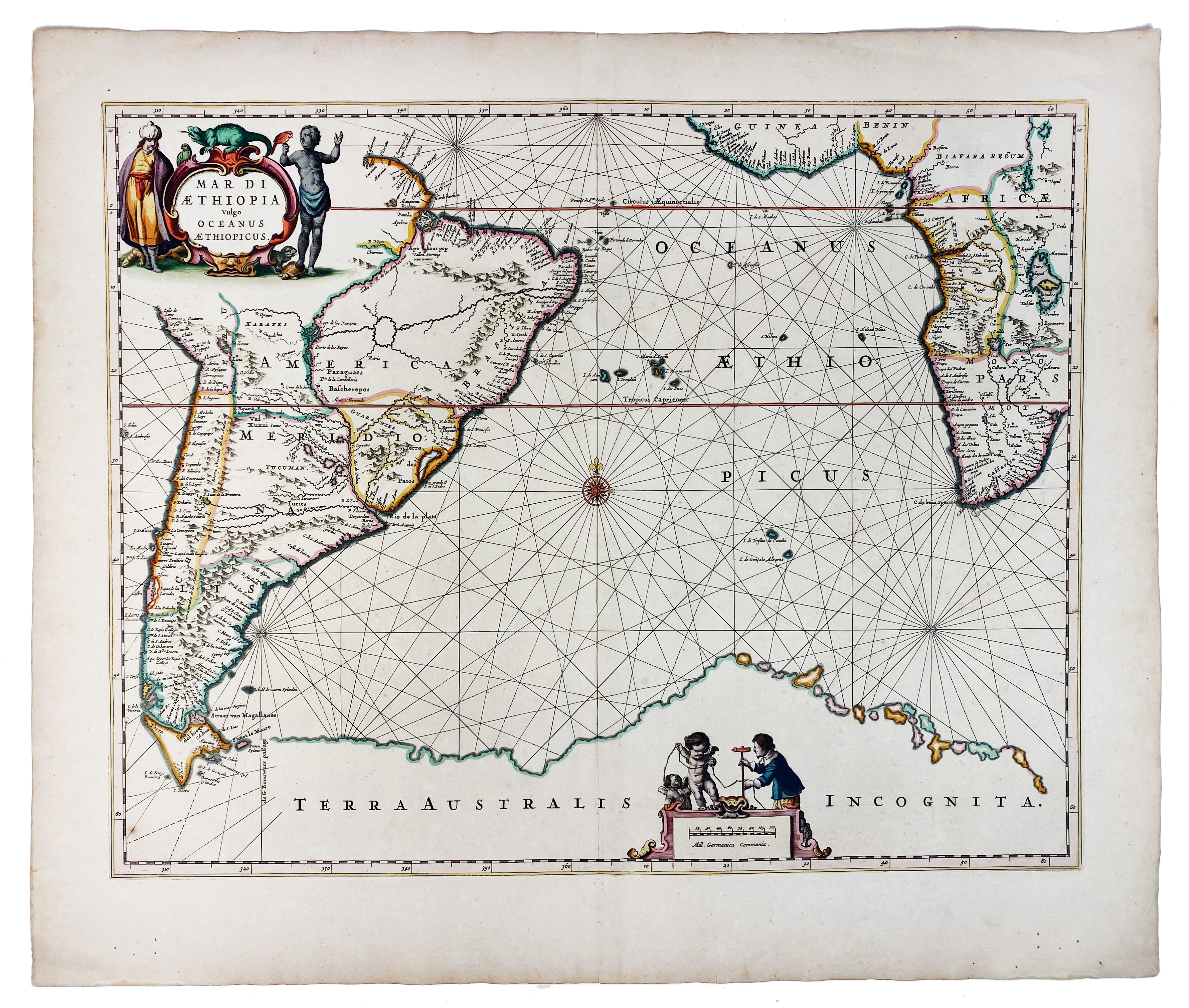
SEA CHARTS -- "MAR DI AETHIOPIA Vulgo Oceanus Aethiopicus". Amst., J. Janssonius, (c. 1680). Handcold. engr. chart. 437 x 557 mm. (Sl. browned, a few tiny holes in lower blank margin).
From one of the first sea-atlasses of the world. Nice map with opposite coasts of South-America and Africa and "Terra Australis Icognita" at the bottom. - Verso blank. V.d. Krogt I, 0102:1.€ 200
uitslag € 200
Terug
