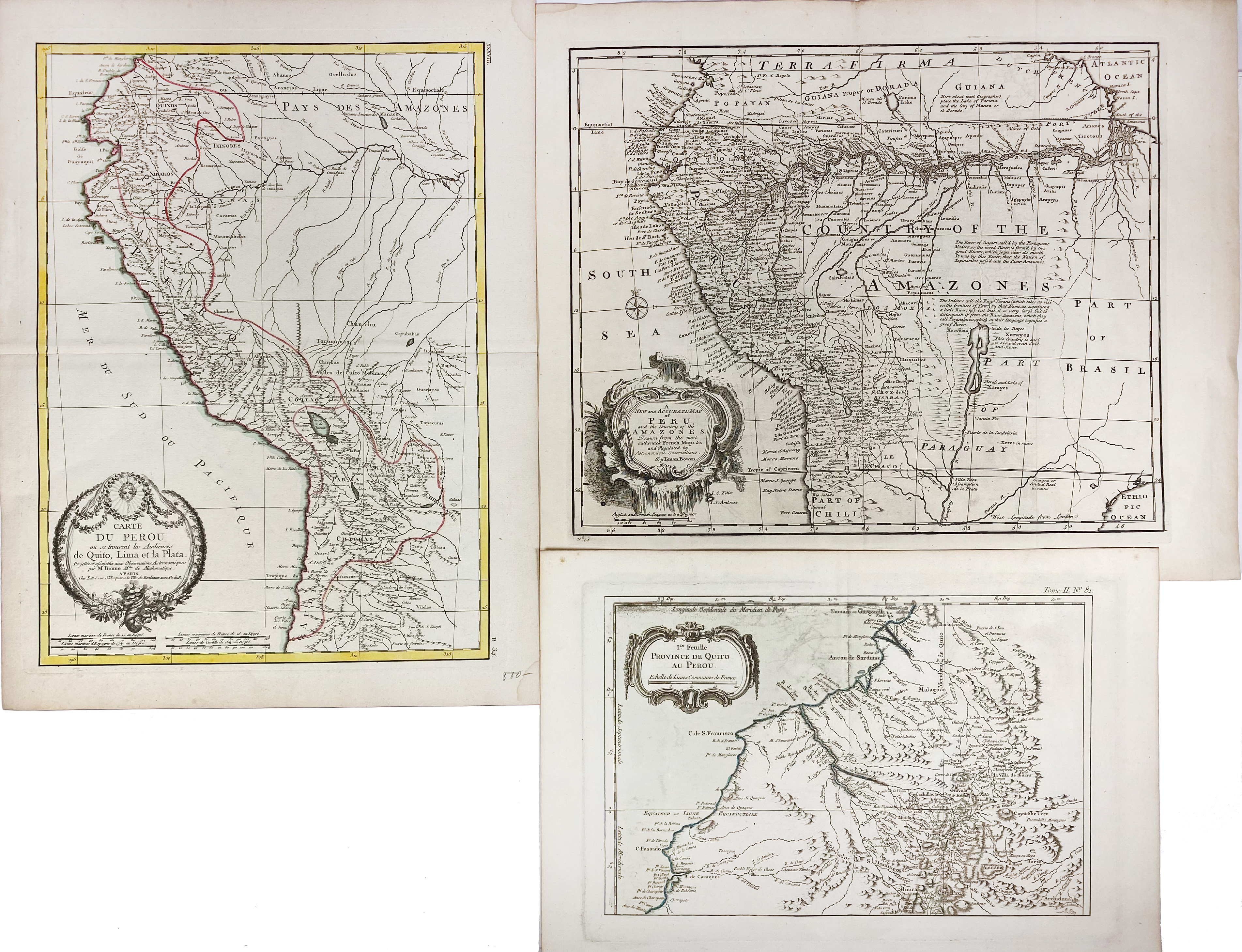
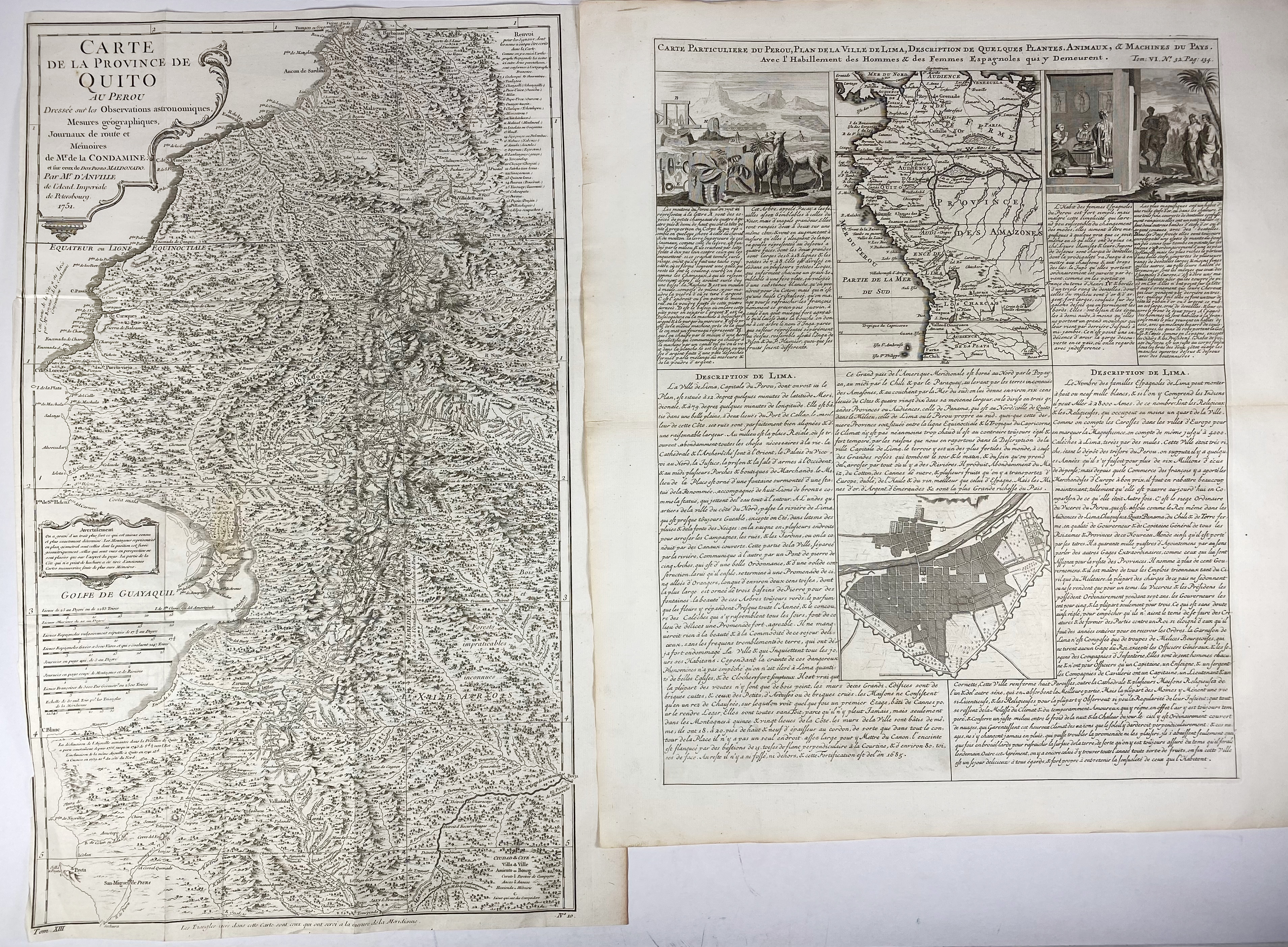
SOUTH AMERICA -- PERU -- "CARTE DU PEROU ou se trouvent les Audiences de Quito, Lima et la Plata". Par., (1772). Engr. map, cold. in outlines, by R. Bonne. 455 x 342 mm. (Right blank corners a bit stained). -- "CARTE DE LA PROVINCE de Quito au Perou". (Par.), 1751. Plain engr. map after P.V. Maldonado. 584 x 350 mm. (Left margin partly cut short (touching the frame of the map)). -- "CARTE PARTICULIERE du Perou, Plan de la Ville de Lima, Description de quelques Plantes, Animaux, & Machines du Pays. Avec l'Habillement des Hommes & des Femmes Espagnoles qui y Demeurent". (Amst., 1719). Engr. plain sheet containing map, plan & ills. 495 x 385 mm. -- "A NEW AND ACCURATE MAP of Peru and the Country of the Amazones, drawn from the most authentick French maps &c. and regulated by astronomical observations". (1744). Plain engr. map by E. Bowen. 356 x 430 mm. -- And 1 o. of Peru. (5).
€ 180
uitslag € 140
Terug

