Kavel 1022
1022
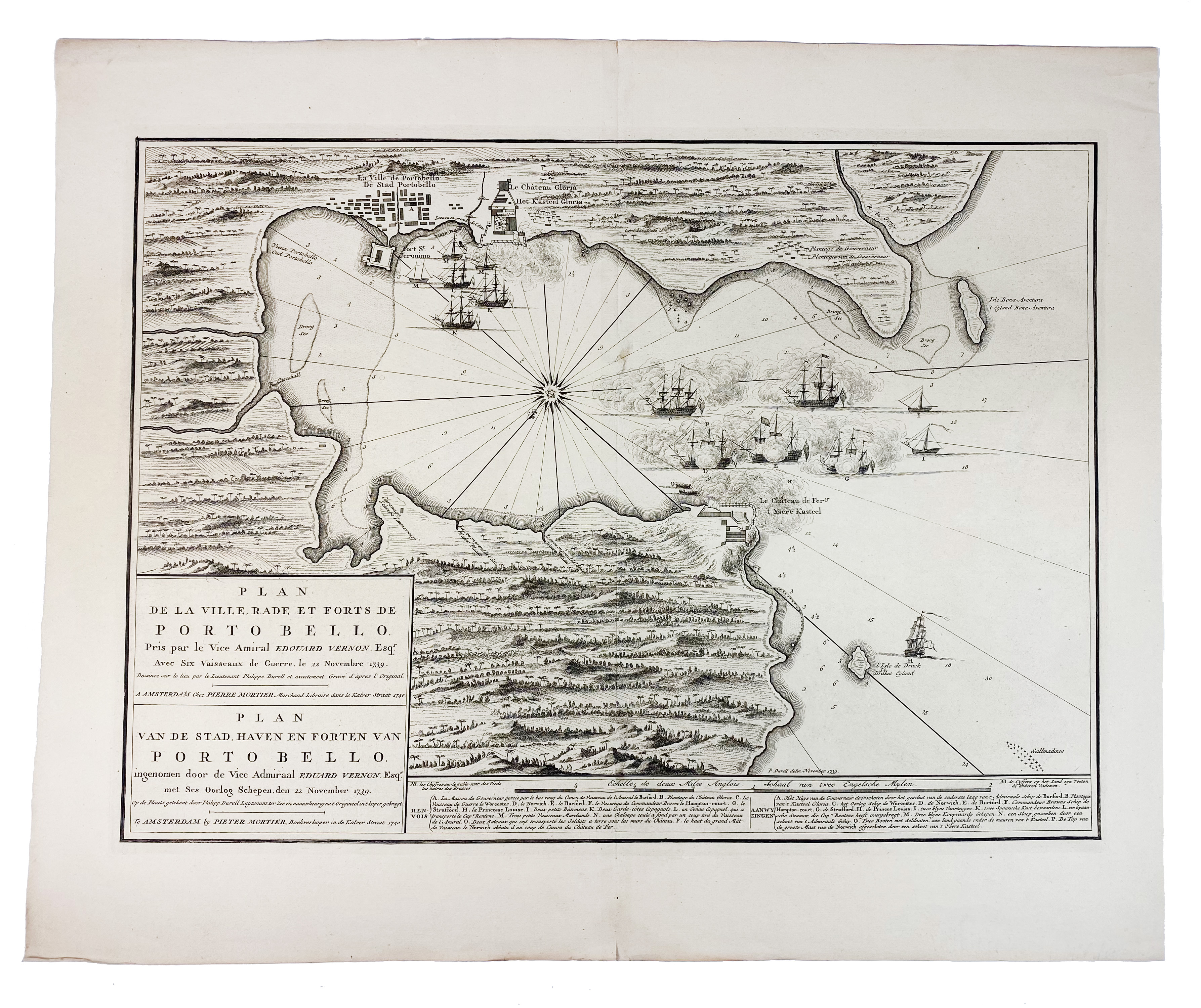
SOUTH AMERICA -- PANAMA -- "PLAN DE LA VILLE, Rade et forts de Porto Bello. Pris par le Vice Amiral Edouard Vernon Esqr. Avec Six Vaisseaux de Guerre, le 22 Novembre 1739". Amst., P. Mortier, 1740. Plain engr. plan. 425 x 585 mm. (Ample margins w. a few tiny tears).
A Dutch edition of Durrell's map of the capture of Portobelo by Admiral Edward Vernon in 1739, during the 'War of Jenkin's Ear'. It shows Vernon's ships exchanging fire with Castillo del Hierro ('Iron Castle') at the mouth of the harbour before attacking the town itself. The success of the expedition lead to huge celebrations in England and was commemorated by the use of 'Portobello' for places all over the British Isles.€ 300
uitslag € 260
Terug
