Kavel 1002
1002
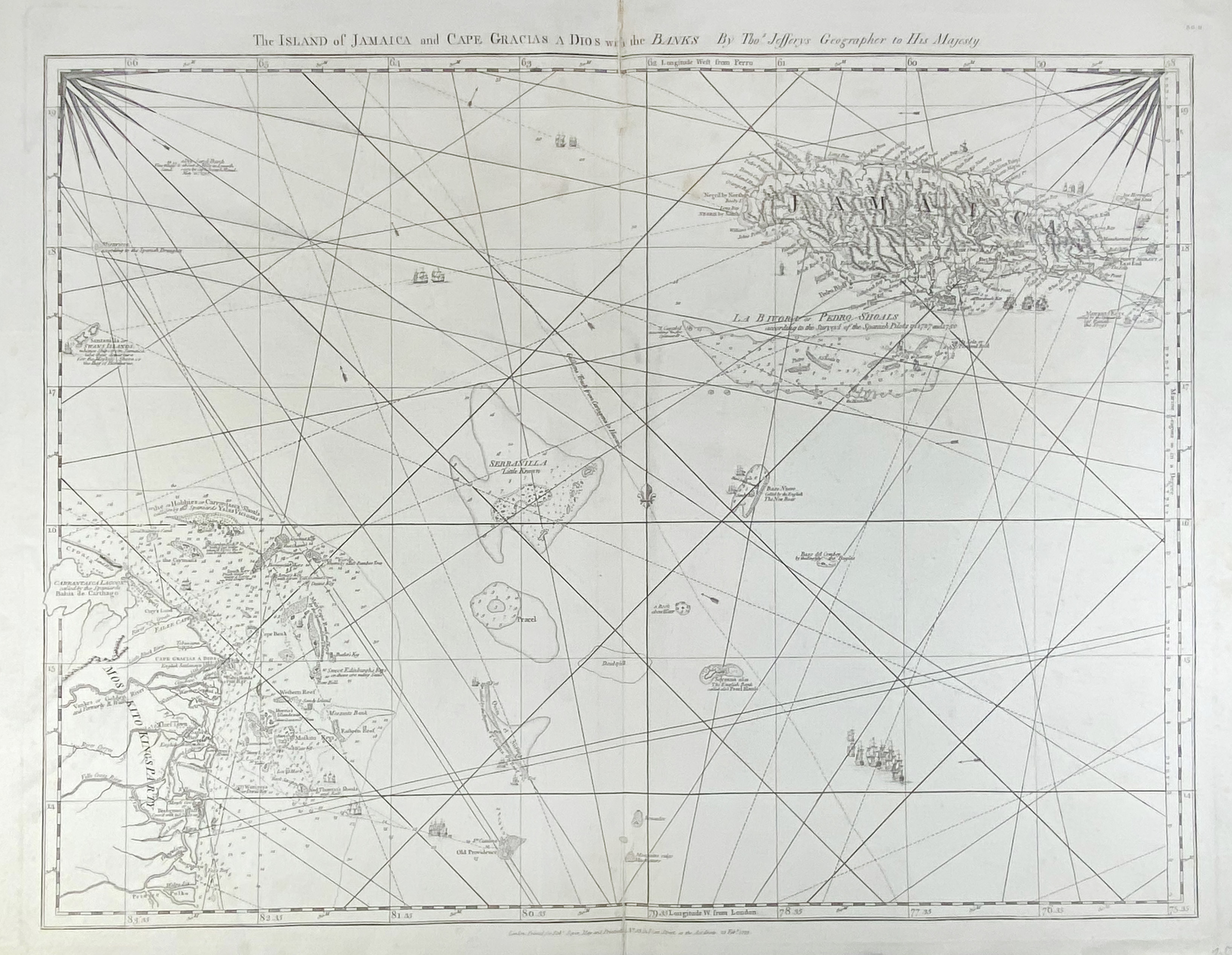
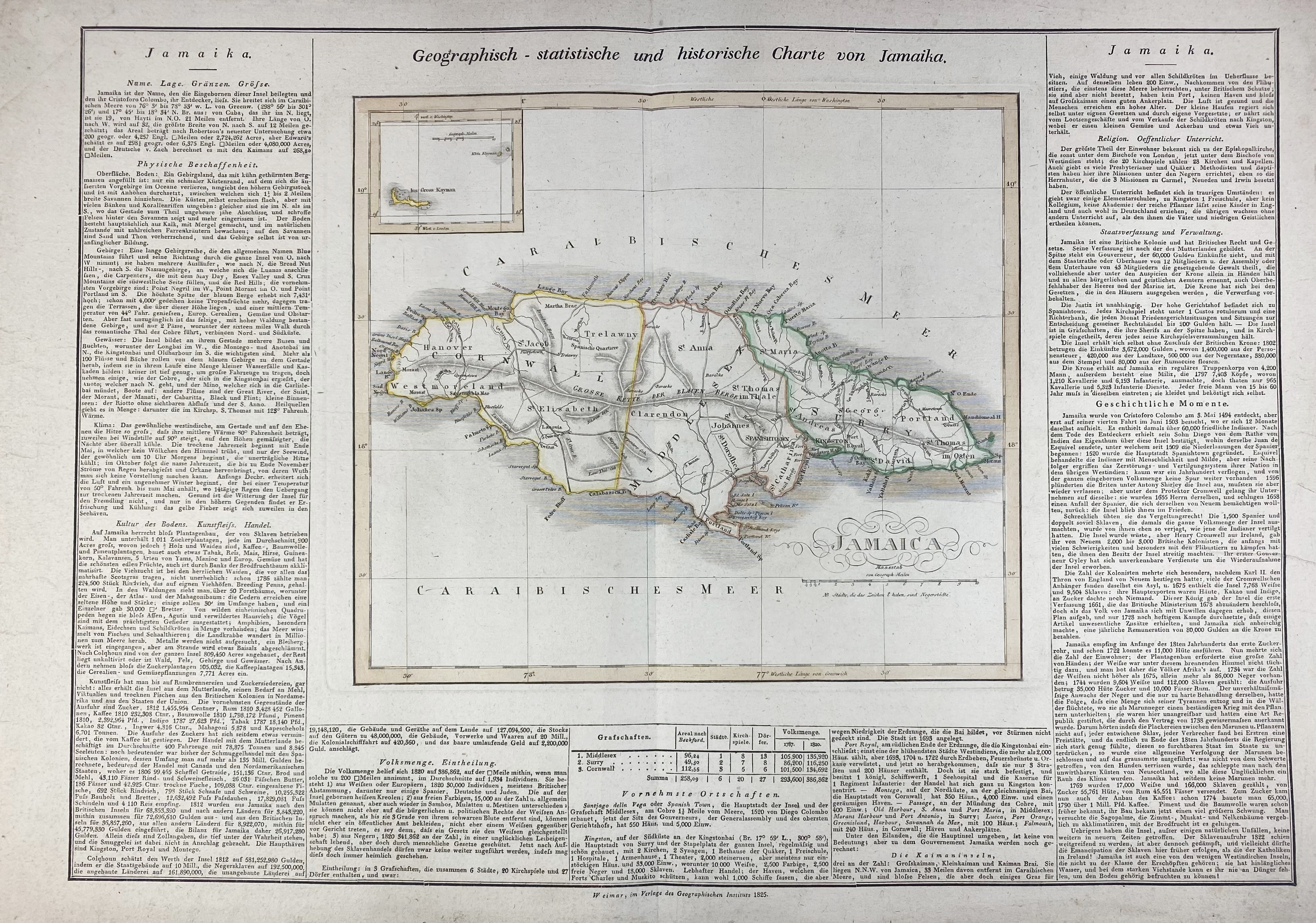
SOUTH AMERICA -- CARIBBEAN -- "THE ISLAND OF JAMAICA and Cape Gracias a Dios with the Banks". Lond., printed for R. Sayer, 1775. Plain engr. chart by Th. Jefferys. 503 x 643 mm. -- "GEOGRAPHISCH-STATISTISCHE und historische Charte von Jamaika". Weimar, 1825. Engr. map, cold. in outlines, surrounded by text. 270 x 305 mm (image size). -- "GEOGRAPHISCH-STATISTISCHE und historische Charte von Hayti". Weimar, 1824. Engr. map, cold. in outlines, text beneath. 245 x 450 mm (image size). (Margins a bit frayed, some creases). -- "A NEW & ACCURATE MAP of the Island of Cuba / A New & Accurate Map of the Islands of Hispaniola or St. Domingo, and Porto Rico". 1747. Plain engr. map by E. Bowen. 352 x 425 mm. -- And 1 small map. (5).
€ 150
uitslag € 140
Terug

