Kavel 483

483
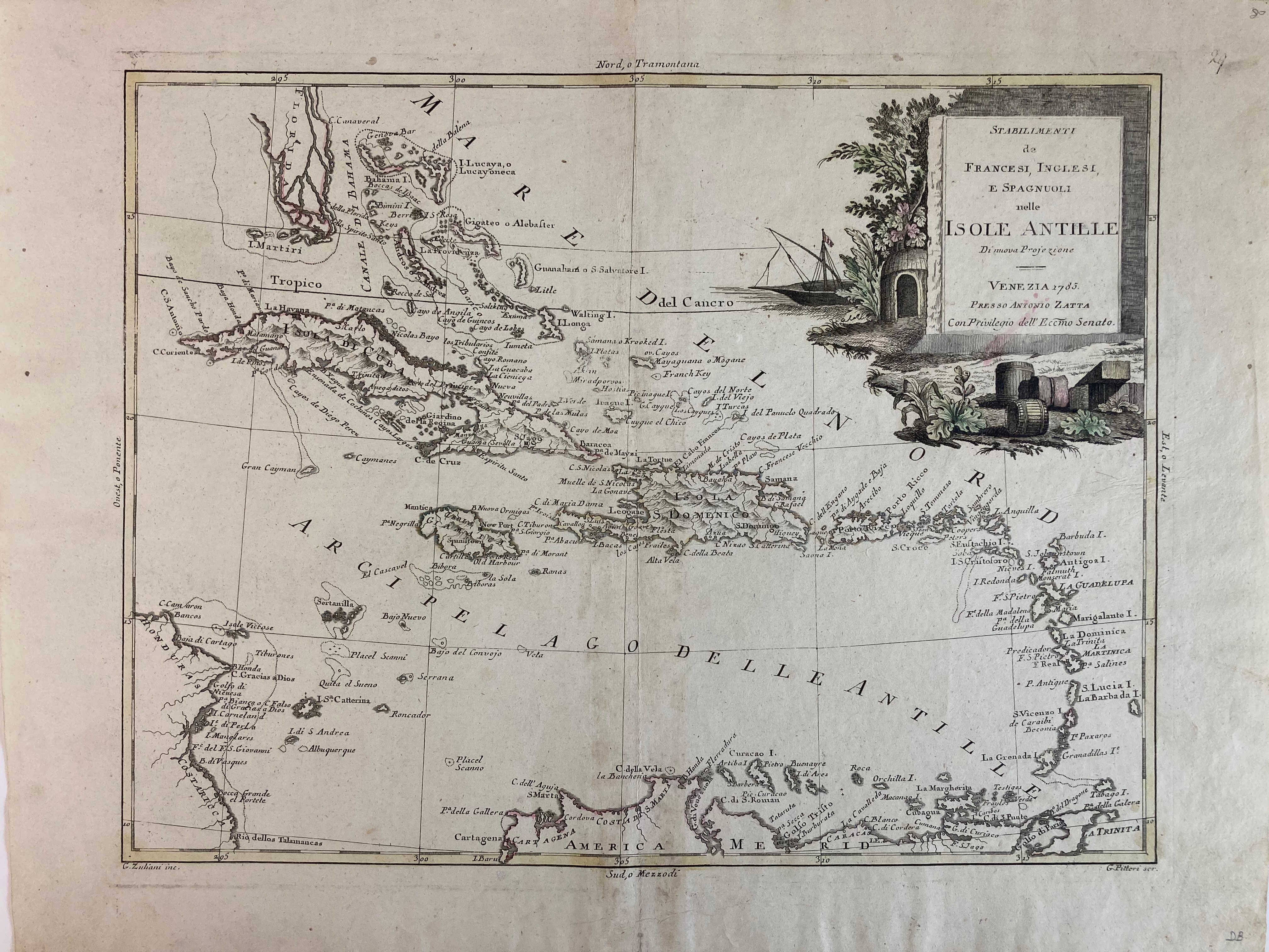
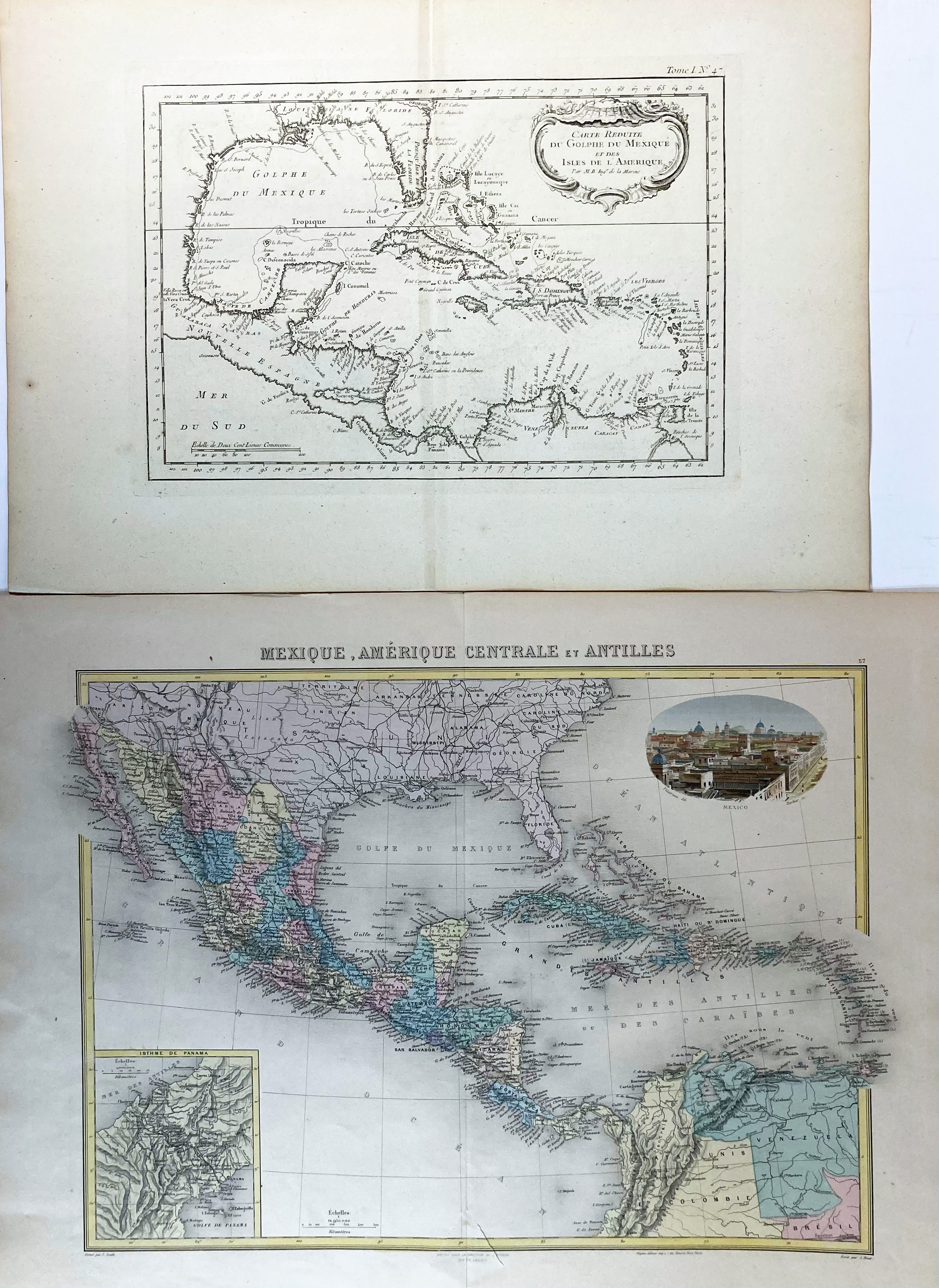
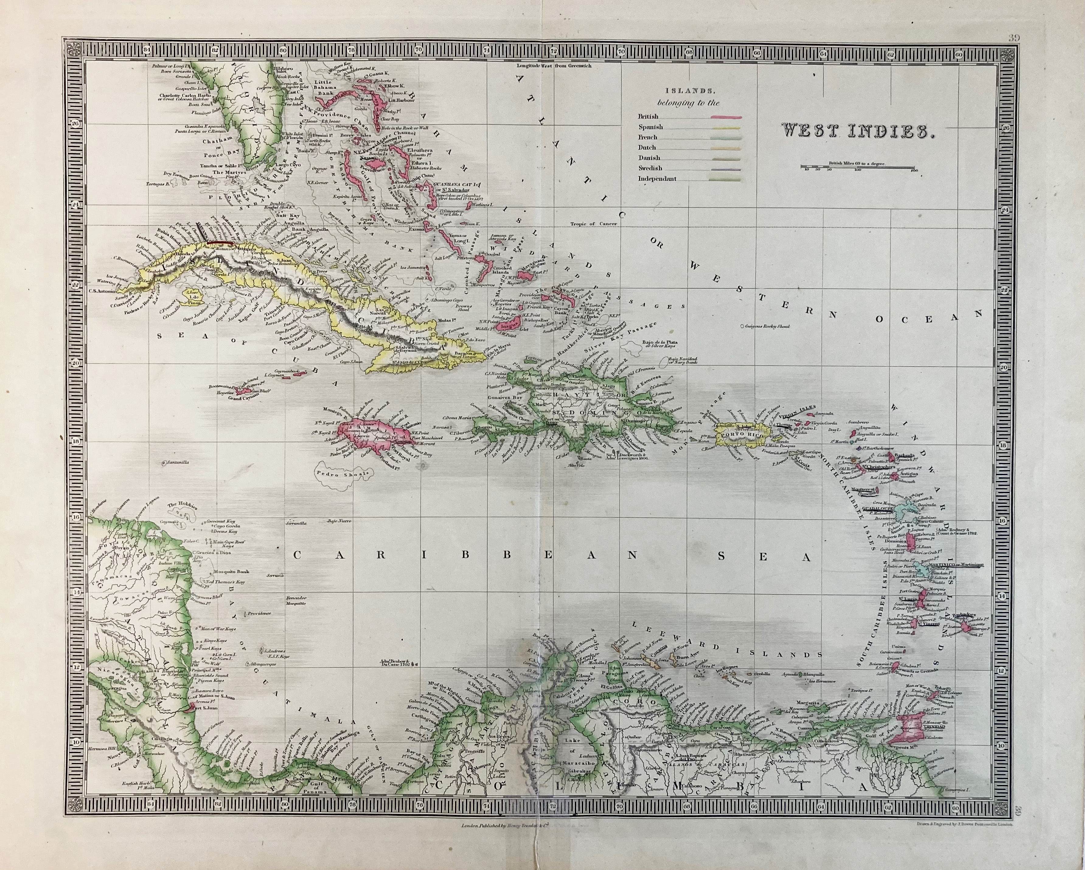
SOUTH AMERICA -- CARIBBEAN -- "CARTE GEO-HYDROGRAPHIQUE du Golfe du Mexique et de ses Isles (…) p. R. Zannoni". Paris, Lattré, (1762). Engr. map in cont. colouring. 326 x 465 mm. -- Added: "STABILIMENTI de Francesi, Inglesi, e Spagnuoli nelle Isole Antille Di nuova Projezione". Venice, A. Zatta, 1785. Engr. map, sparsely cold. 330 x 415 mm. (A bit browned/soiled in places). -- And 3 o. of the Caribbean/Gulf of Mexico. (5).
€ 180
uitslag € 220
Terug