Kavel 476
476
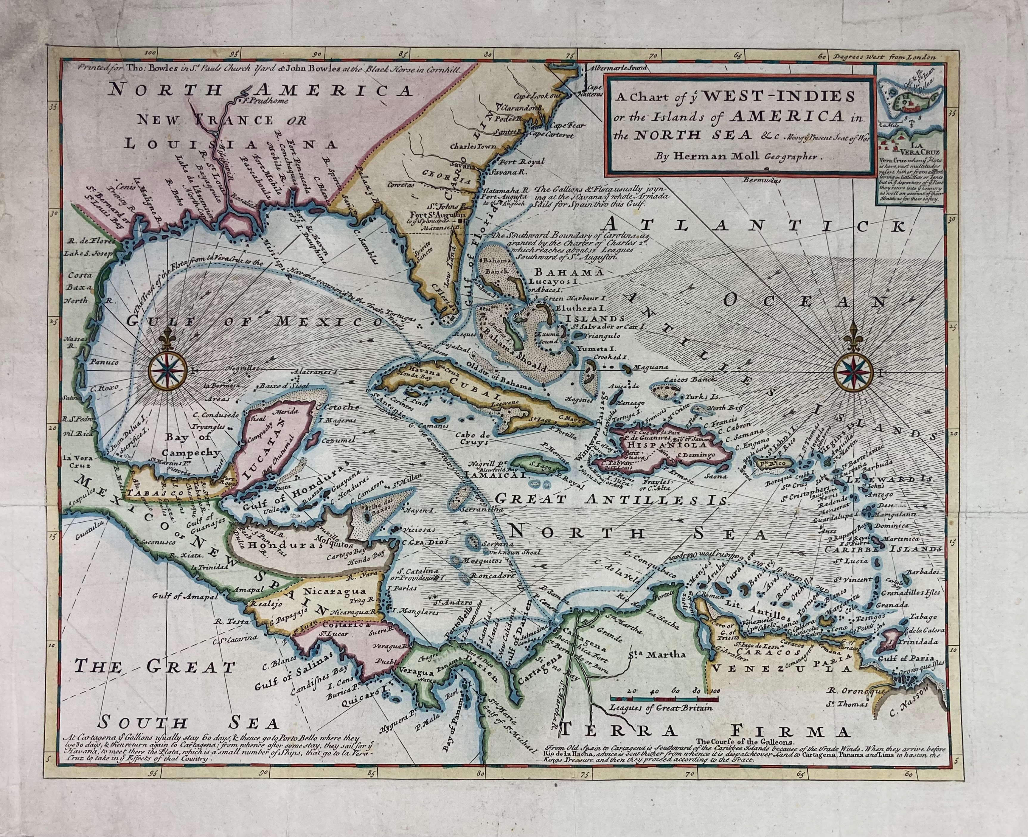
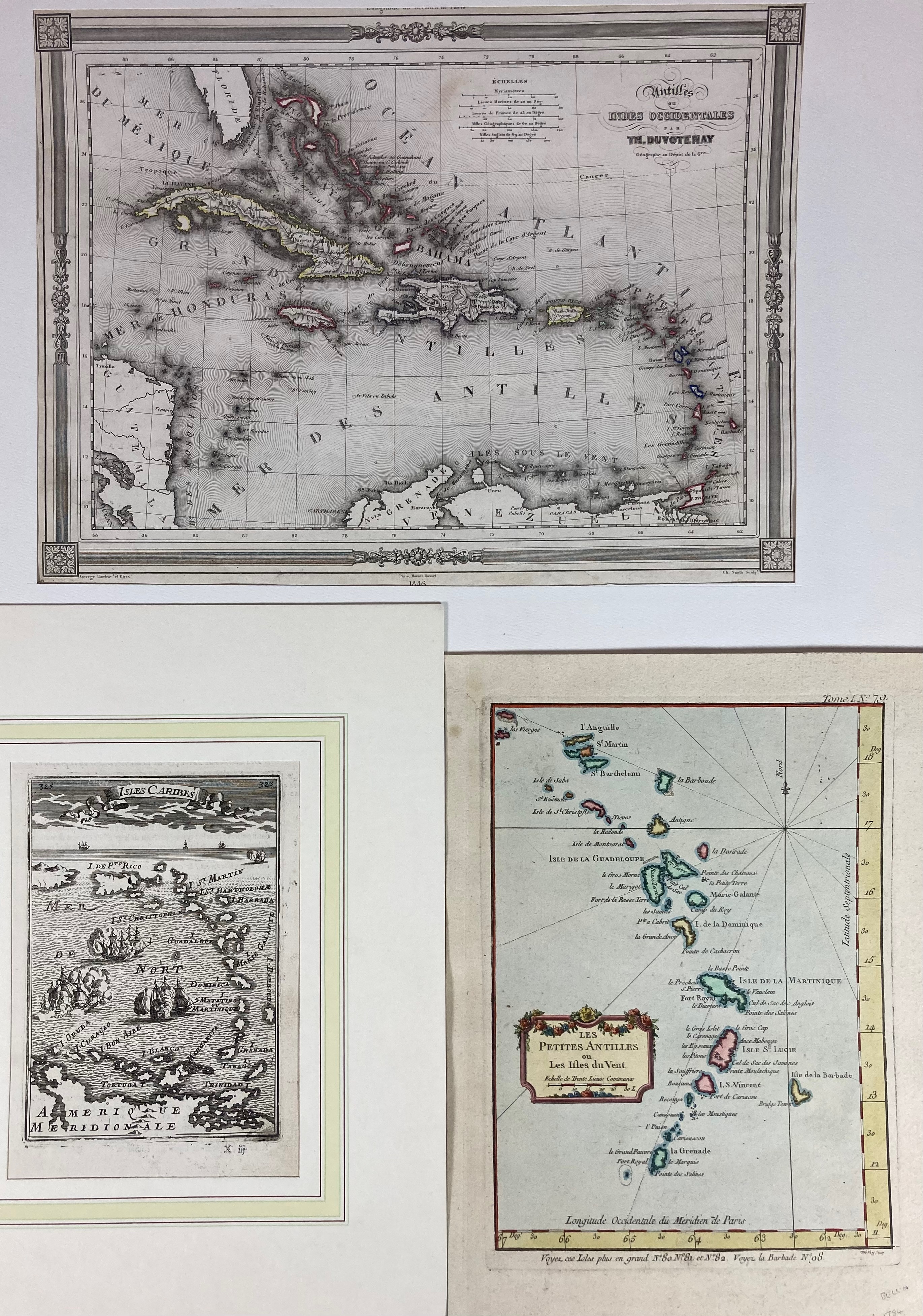
SOUTH AMERICA -- CARIBBEAN -- "A CHART OF YE WEST-INDIES or the Islands of America in the North Sea &c. Being ye Present Seat of War. By Herman Mol Geographer". (London), Printed for T. & J. Bowles, n.d. (c. 1740). Engr. map cold. in outlines. 290 x 362 mm. -- And 3 o. of the Antilles (by Bellin, v.d. Aa, Duvotenay). (4).
€ 100
uitslag € 120
Terug