Kavel 443
443
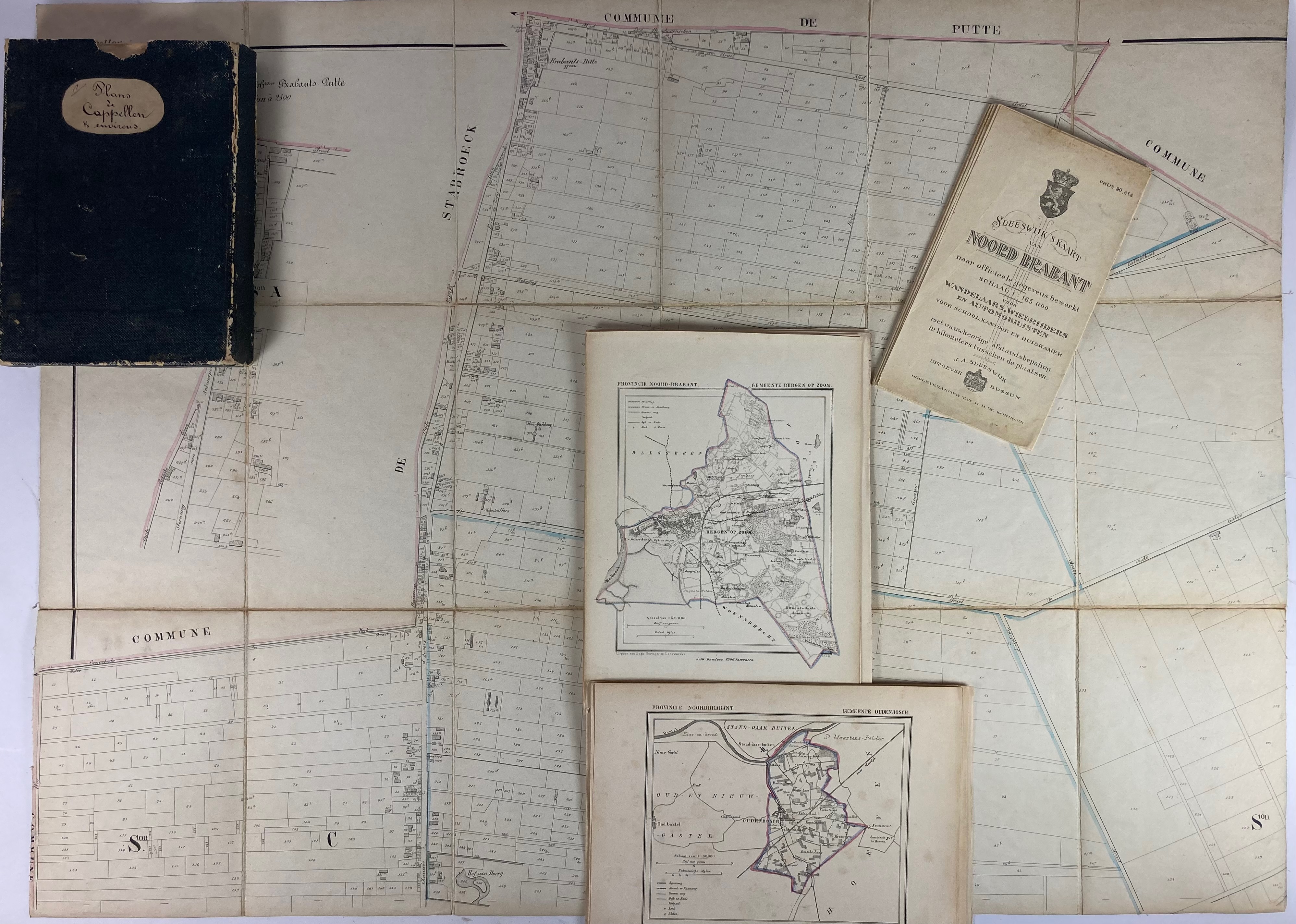
LOW COUNTRIES -- NOORD-BRABANT -- COLLECTION of 30 lithogr. maps (incl. some duplicates), cold. in outlines, taken from J. Kuyper's Gemeente-atlas (Groningen). Leeuw., H. Suringar, (c. 1870). -- Added: 3 cadastral maps from 'Atlas cadastrale Belgique' (Putte, Stabroek and surroundings) by R.C. Popp, each mounted on linen, each 640 x 860 mm. In cont. slipcase. -- And: SLEESWIJK'S KAART VAN NOORD-BRABANT. Bussum, n.d. (1930's?). 640 x 830 mm. -- And 3 o. (37).
€ 150
uitslag € 320
Terug
