Kavel 427
427
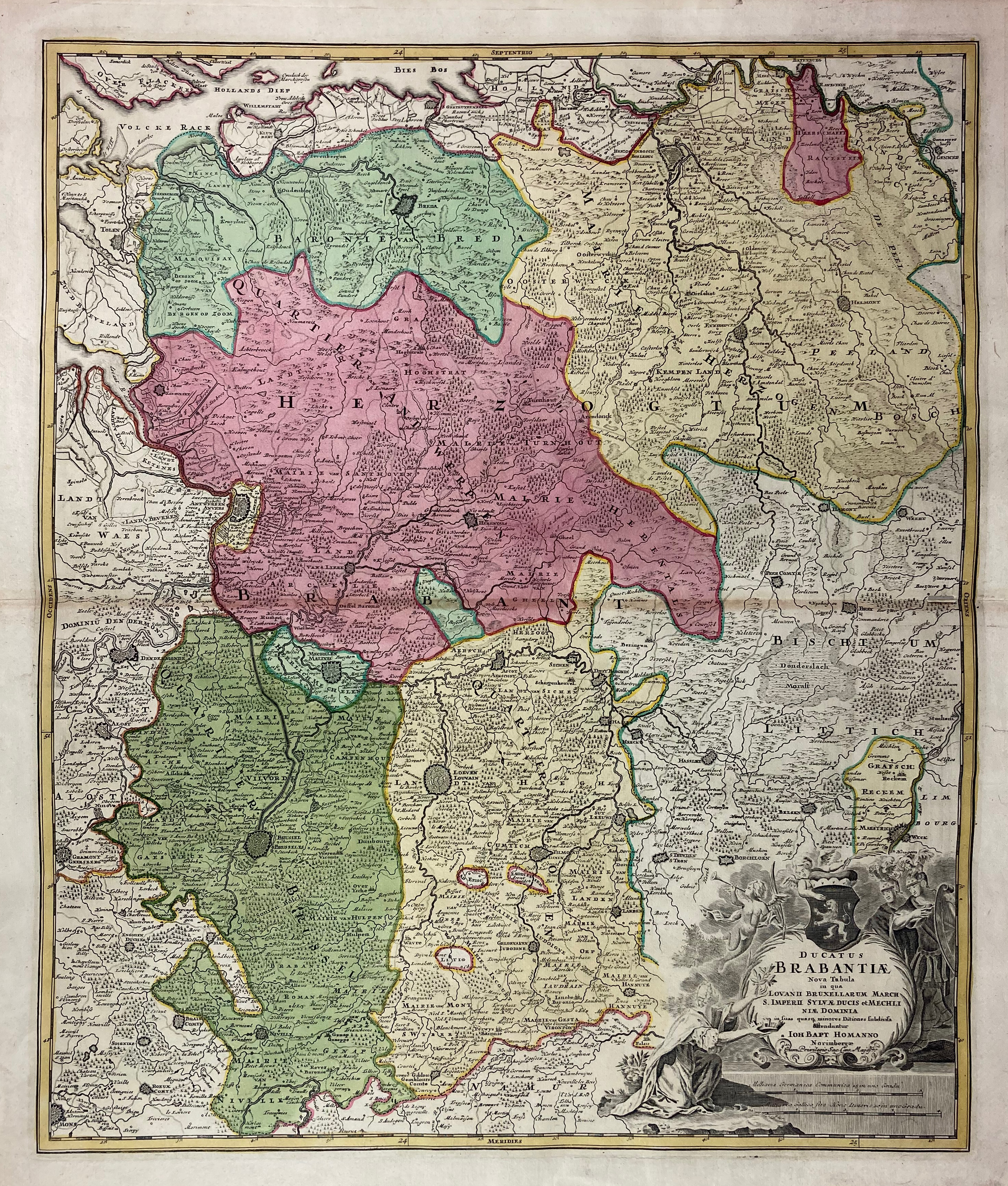
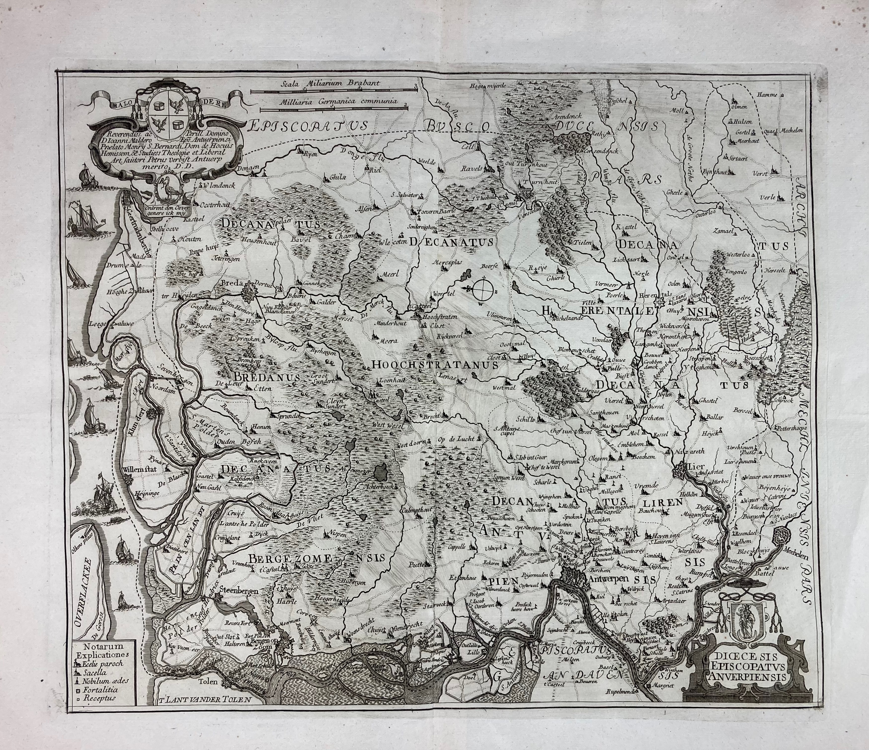
LOW COUNTRIES -- "DUCATUS BRABANTIÆ Nova Tabula (…)". Nuremberg, J.B. Homann, n.d. (c. 1720). Engr. map in cont. colouring. 585 x 500 mm. (Small split on central horizontal fold, but without loss of image). -- Added: "DIŒCESIS EPISCOPATUS ANVERPIENSIS". (Antwerp, P. Verbiest, n.d. (c. 1680)). Engr. map w. scale indicator and cartouches. 330 x 388 mm. -- "BRABANTIA, Gulick et Cleve". (Duisburg, Mercator, n.d. (c. 1600)). Engr. map in cont. colouring. 343 x 460 mm. (A bit browned/traces of former framing). -- And 7 o. (more or less the same area). (9).
€ 150
uitslag € 340
Terug