Kavel 402
402
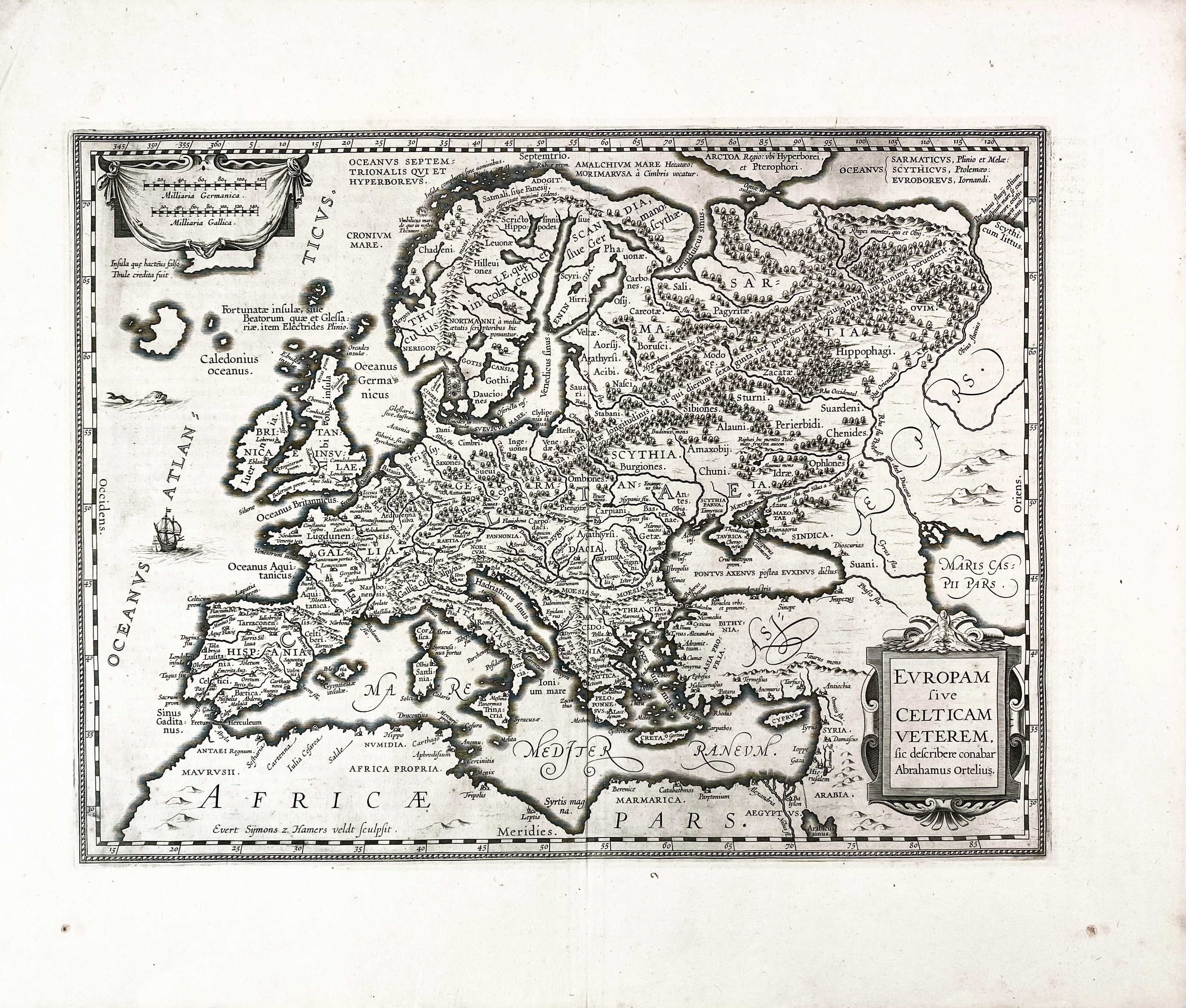
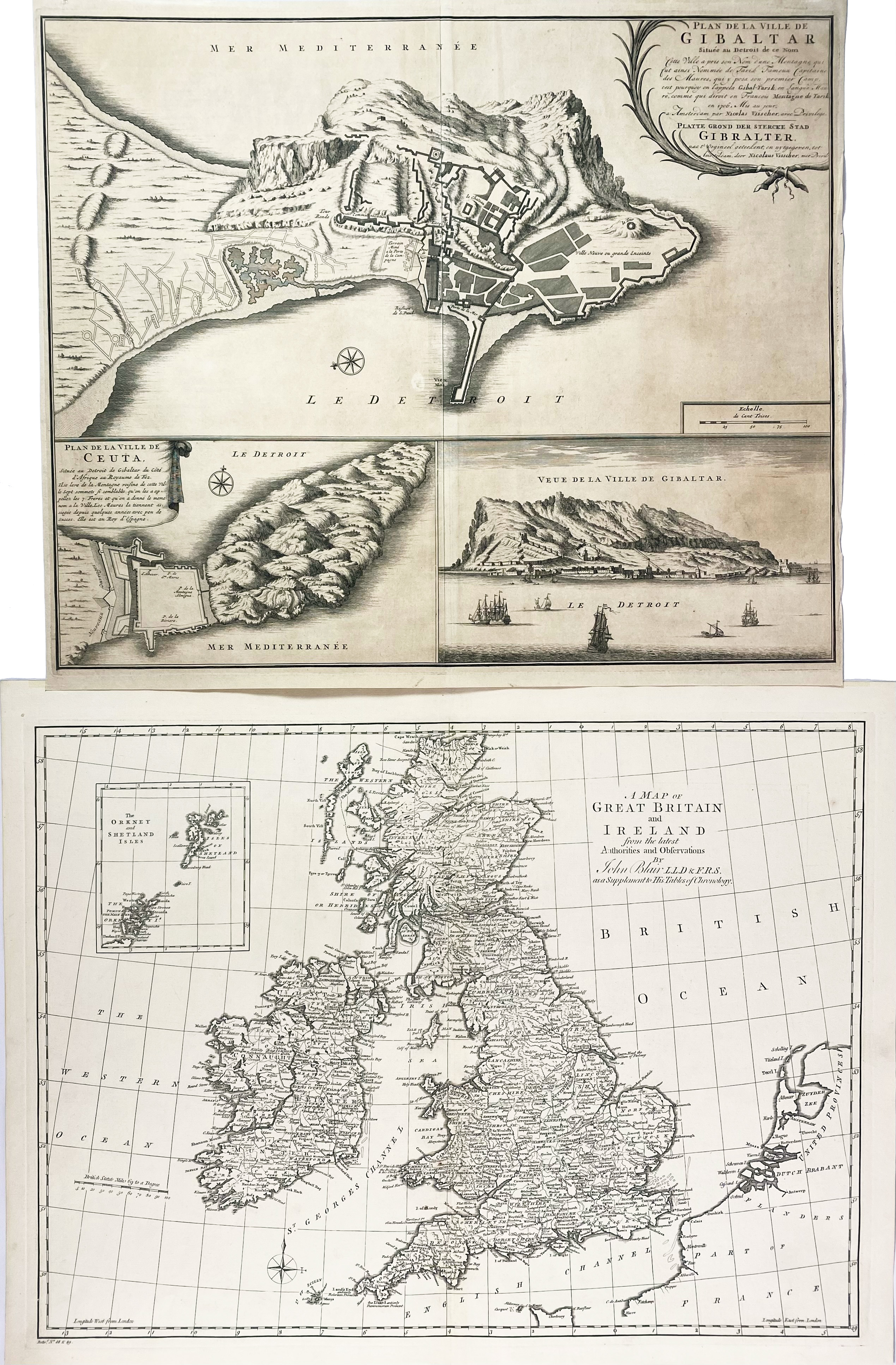
"EUROPAM SIVE CELTICAM veterem". (Amst., Janssonius, c. 1638). 355 x 475 mm. -- Added: "PLAN DE LA VILLE de la Gibaltar". Amst., N. Visscher, 1706. Engr. plain map of the Gibraltar peninsula with a plan of Ceuta and an elevation view of the Rock of Gibraltar. 440 x 530 mm. (Margins cut, sl. yellowed). -- And: Map of Great Britain by Blair. -- (3).
Ad 1: Latin text on v°. Van der Krogt 1000H:1A.€ 150
uitslag € 160
Terug