Kavel 398
398
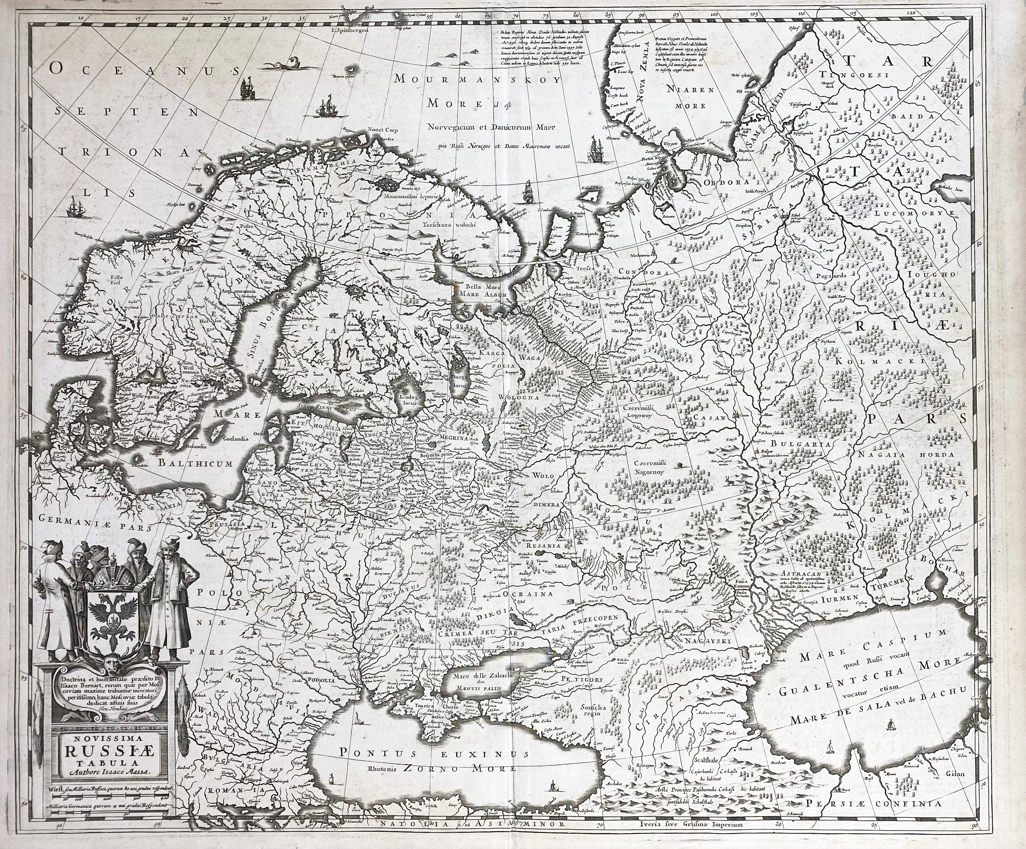
EASTERN EUROPE -- RUSSIA -- "NOVISSIMA RUSSIÆ TABULA". (Amst.?, H. Hondius, 1638). Engr. plain map by I. Massa. 472 x 555 mm. (Sm. chip/crack in lower margin, sl. yellowed).
Decorative example of the Mercator-Hondius map of the Russian Empire and Scandinavia. Latin text on v°. - Van der Krogt I, 1800:1B.1.€ 150
uitslag € 160
Terug