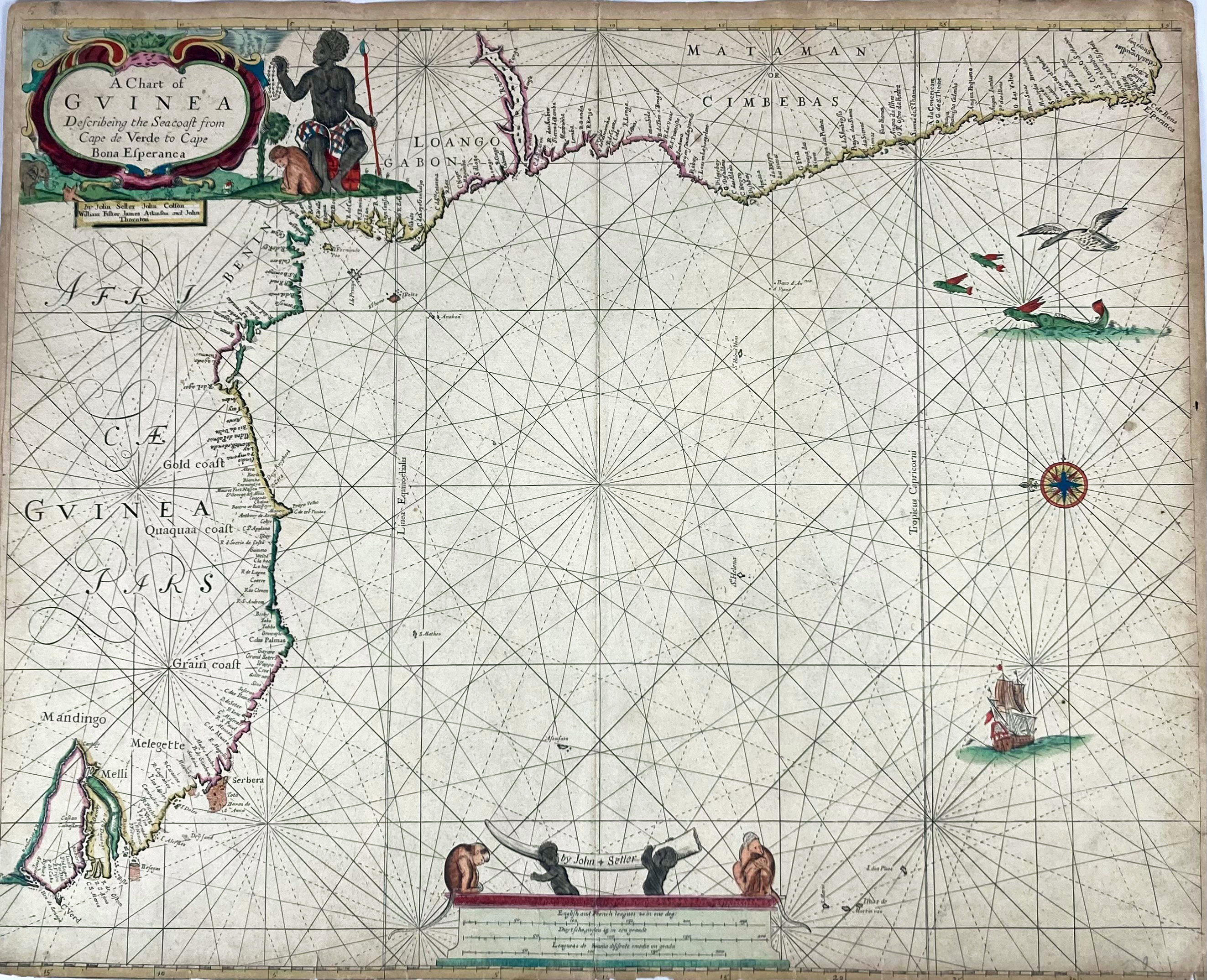
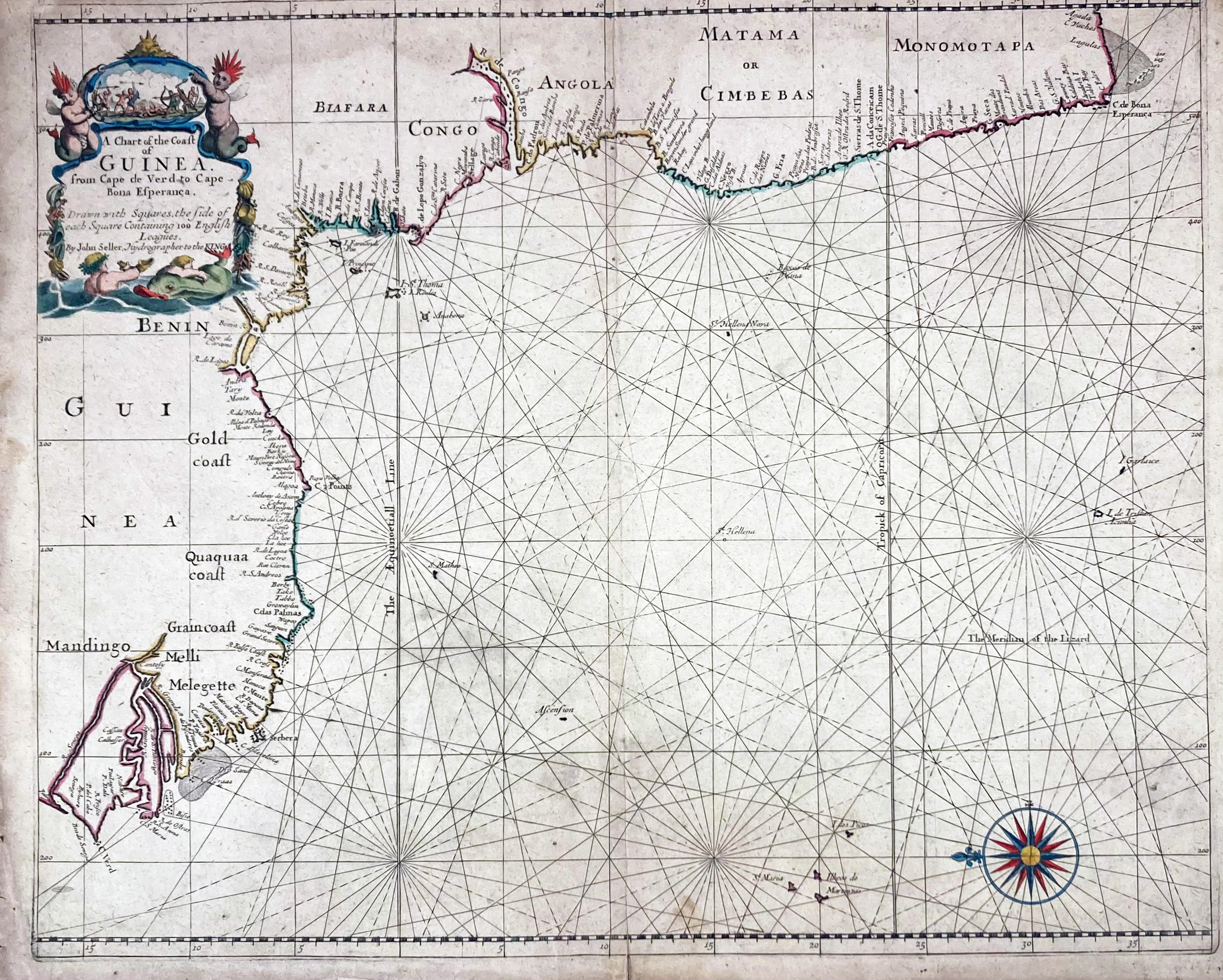
CHARTS -- "A CHART of Guinea describeing the seacost from Cape de Verde to Cape Bona Esperanca". (Lond.), J. Sellers a.o., (c. 1677). Engr. sea chart of the west coast of Africa w. dec. cartouche & scale of distance. Cont. handcol. 445 x 550 mm. (Laid down on paper, margins yellowed & slightly chipped). -- "A CHART of the Coast of Guinea from Cape de Verd to Cape Bona Esperanca drawn with squares, the side of each square containing 100 English leagues." (Lond), J. Seller, (n.d.). Engr. sea chart of the west coast of Africa w. dec. cartouche. Cont. handcol. 430 x 520 mm (image size). (Laid down on paper, loosening in parts, toning & dusty in the margins, tear in the lower en of the fold, runs c. 2 cm into the image). -- (2).
Rare charts from John Seller's 'The English Pilot' (1671-1677).€ 650
uitslag € 500
Terug