Kavel 368
368
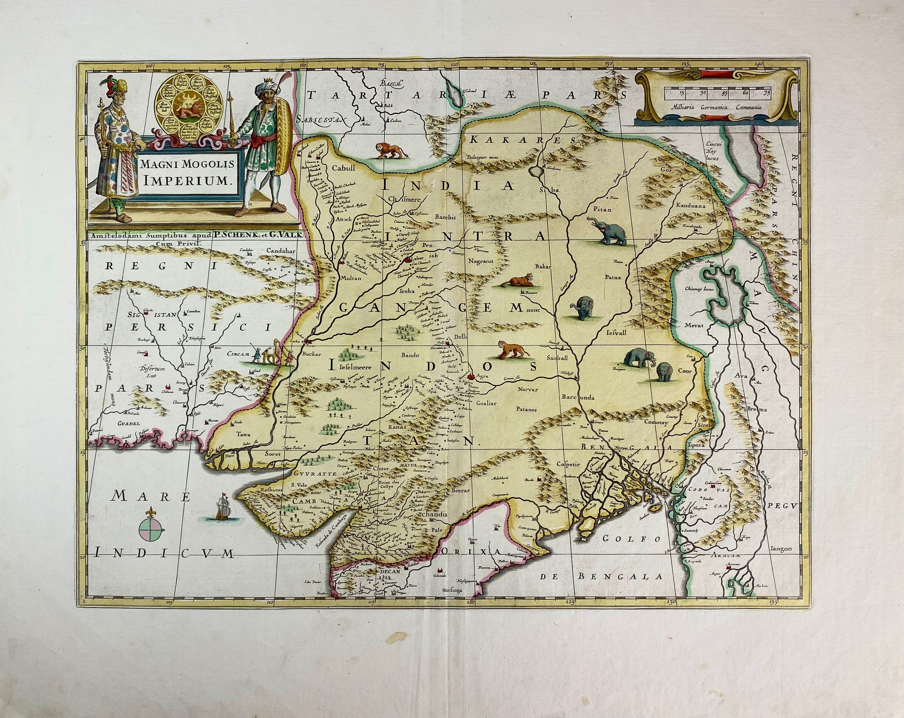
ASIA -- INDIA -- "MAGNI MOGOLIS IMPERIUM". Amst., P. Schenk & G. Valk, (c. 1700). Engr. map in cont. handcolouring w. 2 cartouches 365 x 485 mm.
An attractive map in good condition of the region bounded by Northern India, Pakistan, Afghanistan and Bangladesh and extending inland up the Ganges and Indus Rivers to Tartary and the Himalayas, including Katmandu, Kabul and other legendary cities along the great trading route. - Koeman III p. 114 (nr. 421).€ 150
uitslag € 240
Terug