Kavel 1169

1169
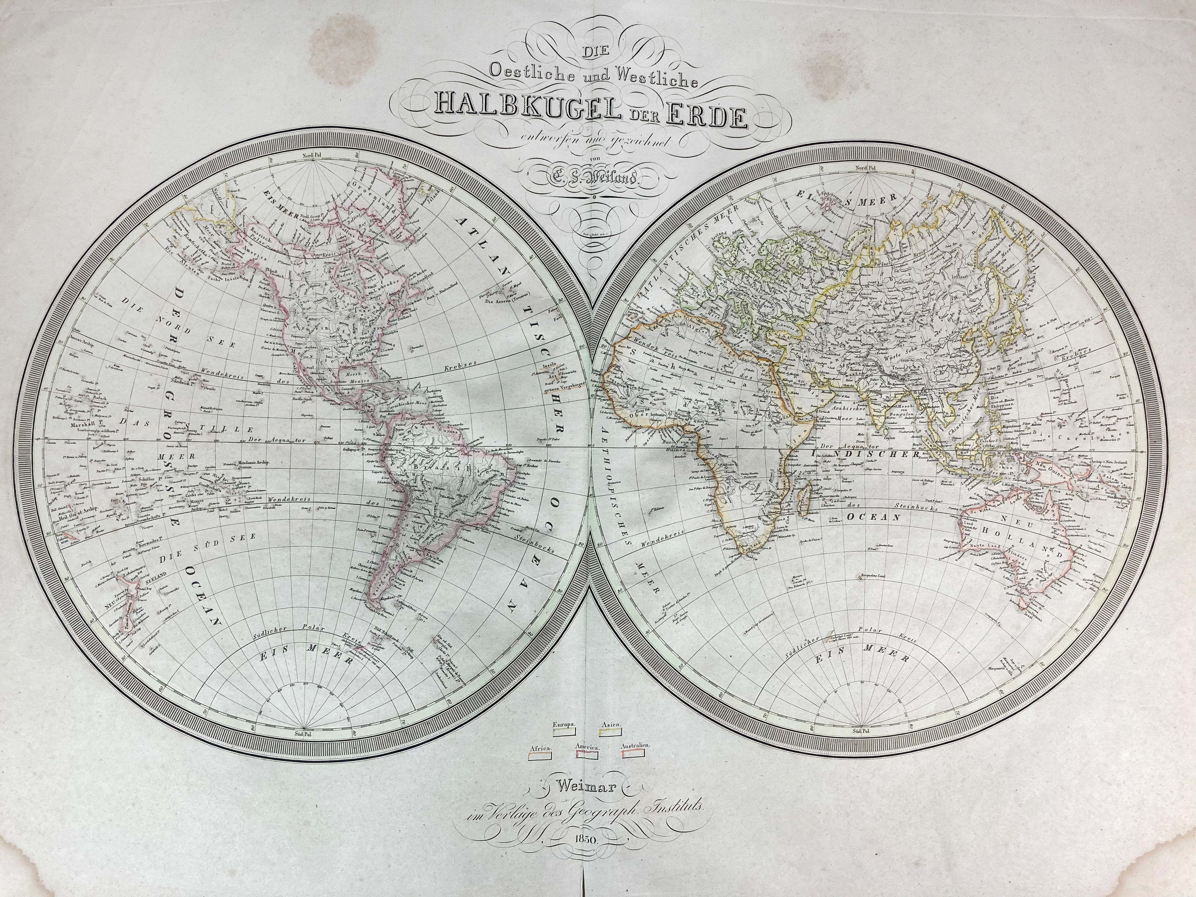
ATLASES -- (WEILAND, C.F.). Allgemeiner Hand-Atlas der ganzen Erde nach den besten astronomischen Bestimmungen, neuesten Entdeckungen und kritischen Untersuchungen entworfen. Weimar, Verl. d. Geogr. Instituts, n.d. (1827-33). W. steel-engr. ti.-p., letterpress double-p. index, and 60 steel-engr. double-p. maps by C. Metzeroth, cold. by hand in outlines. Lge-fol. Cont. hcf. bind. w. marbled paper sides. (Bind. worn, more or less foxed/slightly browned throughout, traces of use, outer right margin map of Russia a bit dam. (but without loss of image), lower outer corners of first 10 maps stained).
This copy still with the title page of the earlier editions; later the title is altered to 'Allgemeiner Handatlas der ganzen Erde und des Himmels'. With all the maps called for: 2 hemisphere maps and maps of Europe (39), Asia (6), Africa (7), America (5) and Australia (1).€ 800
uitslag € 1700
Terug