Kavel 608
608
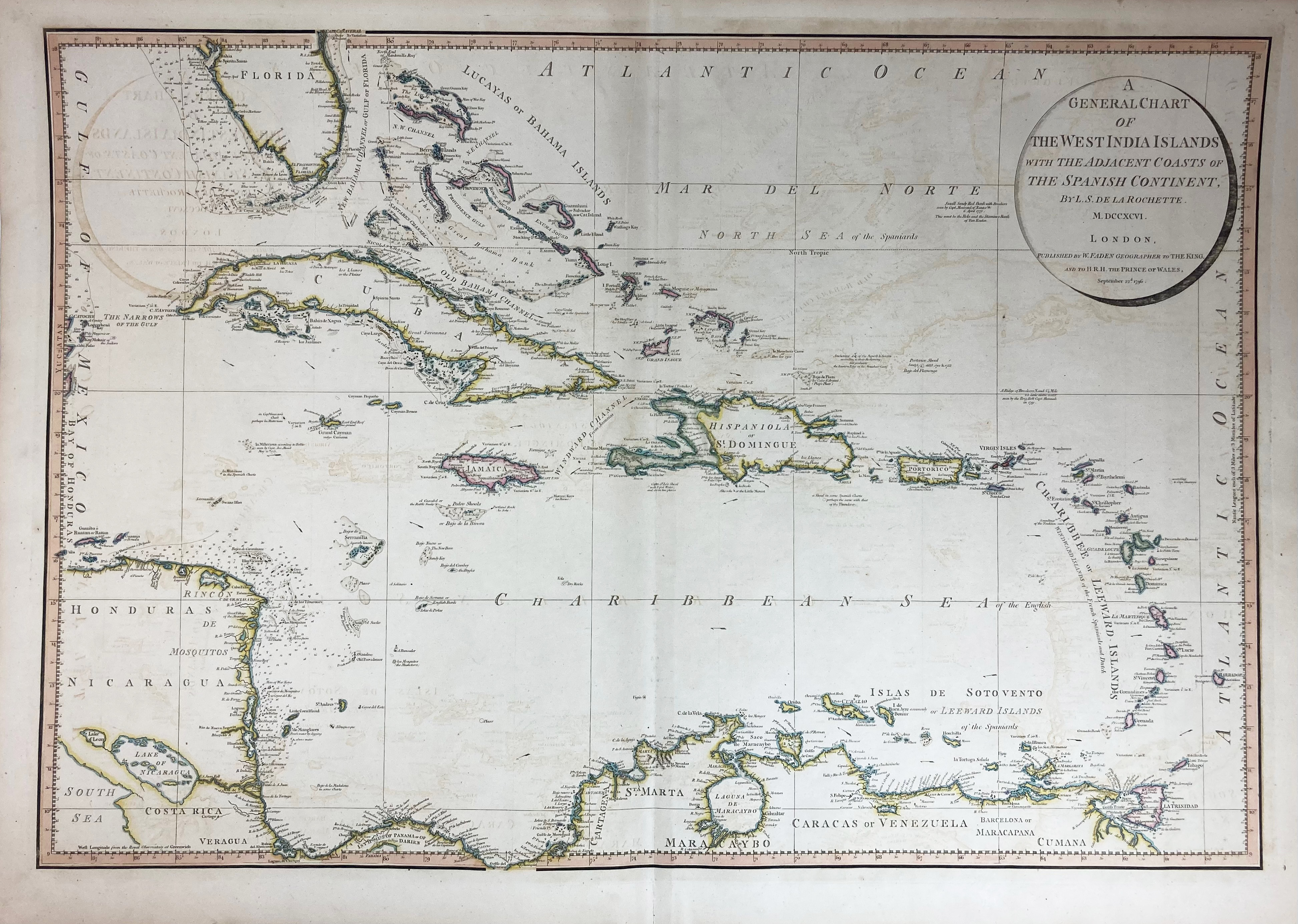
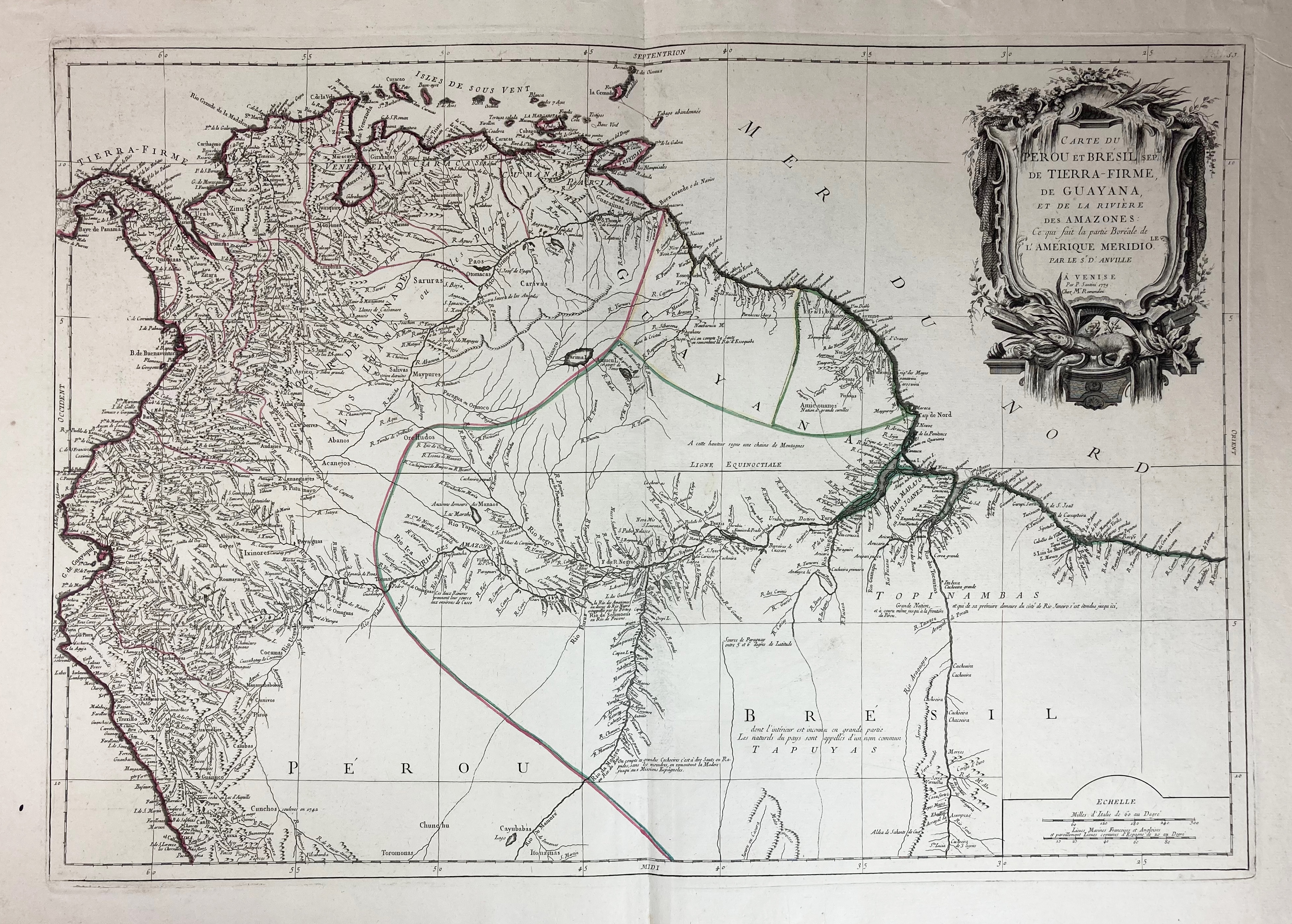
SOUTH AMERICA -- "A GENERAL CHART of the West India Islands with the adjacent coasts of the Spanish Continent, by L.S. de la Rochette". Lond., W. Faden, 1796. Engr. map in cont. colouring. 540 x 780 mm. -- Added: "CARTE DU PEROU ET BRÉSIL sep[…]l de Tierra-Firme, de la Guyana, et de la Rivière des Amazones (…)". Venise, P. Santini, 1779. Engr. map, cold. in outlines, w. large cartouche in upper right corner, central vertical fold. 475 x 680 mm. -- (2).
€ 120
uitslag € 280
Terug