Kavel 1003
1003
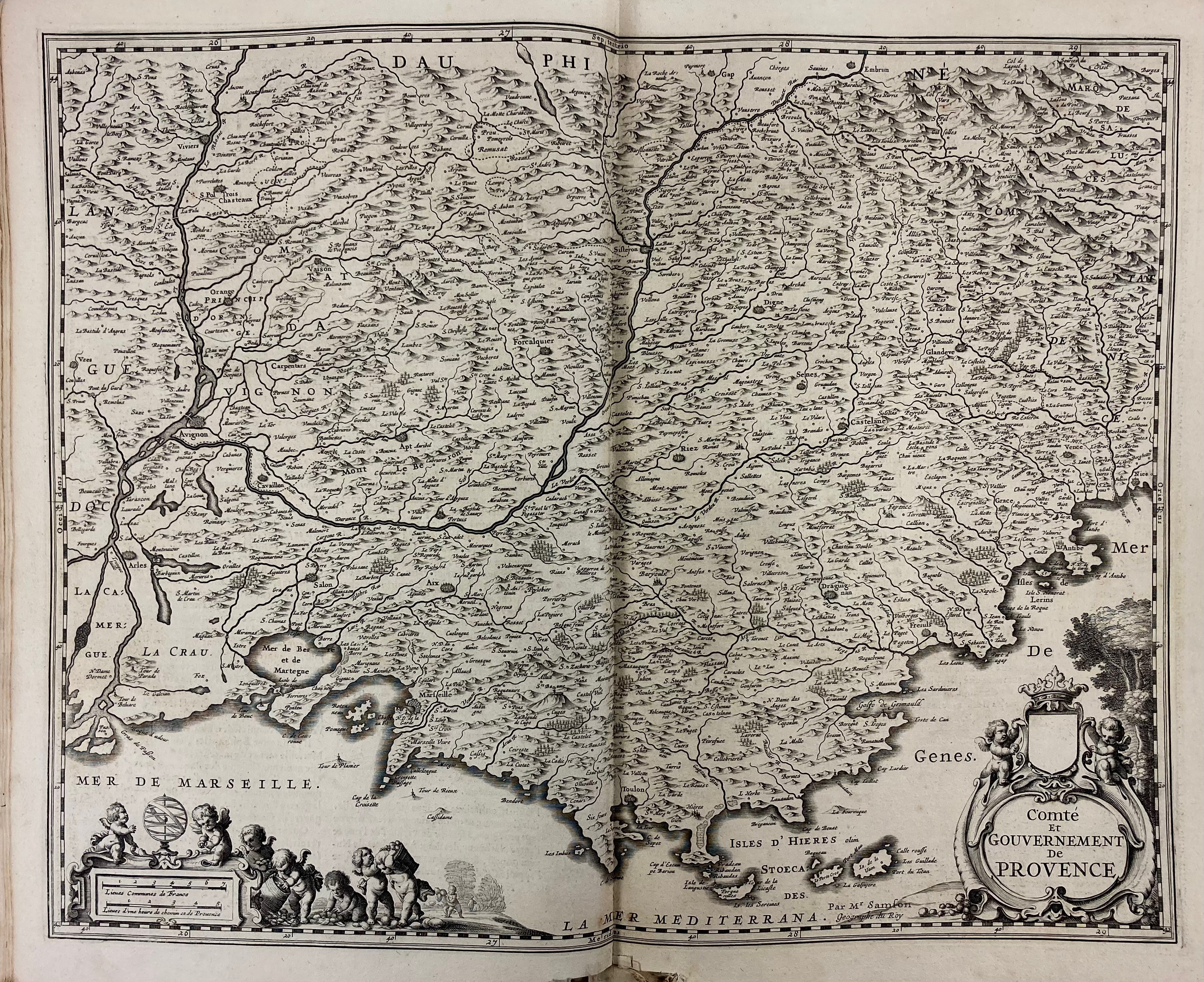
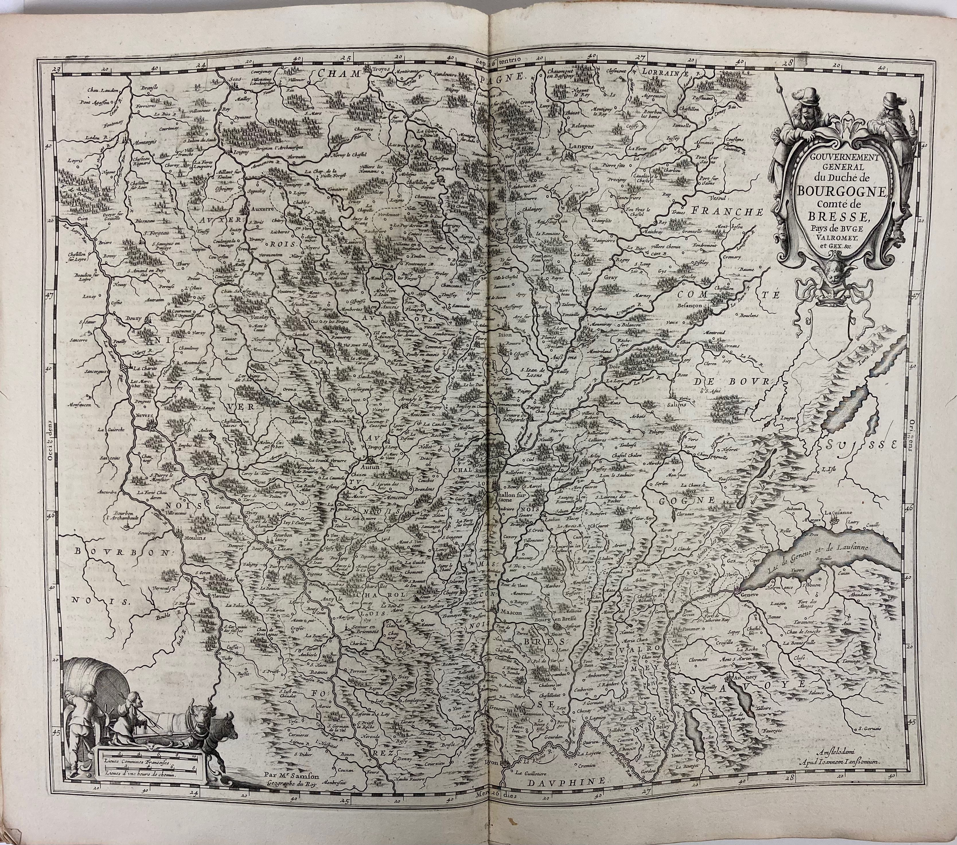
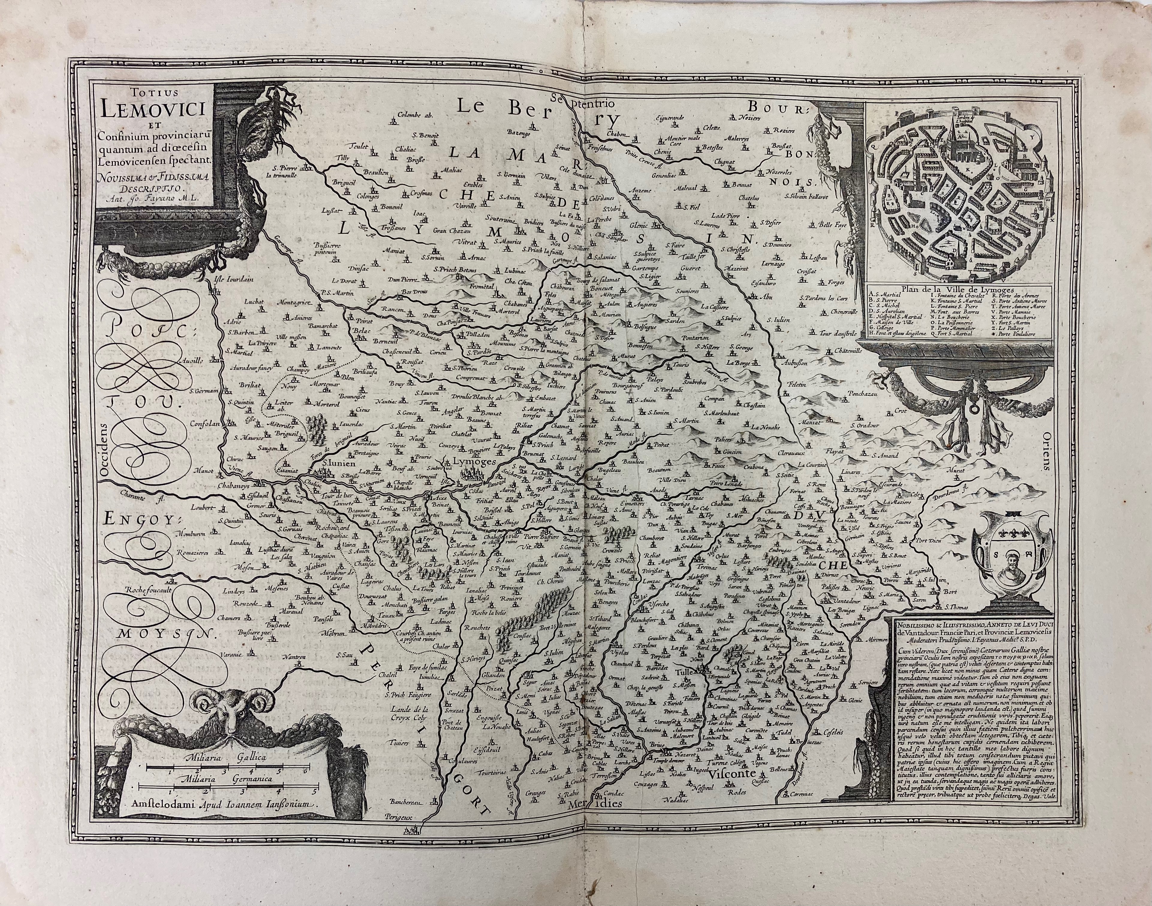
FRANCE -- JANSSONIUS, J. Collection of 28 maps of parts of France from his 'Nouvel Atlas ou Théatre du Monde', tog. w. (dam.) engr. ti. Amst., c. 1650. Plain engr. maps, each c. 380 x 505 mm. Fol. Bound tog. (in the wrong order?), apparently part of an atlas volume, but without binding. (Maps (partly severely) dam. in places, soiled/stained in places).
Including i.a. the following maps: "CHAMPAIGNE et Brie"; "LOTHARINGIÆ septentrionalis"; "COMITATUS Burgundiæ"; "COMTÉ et Gouvernement de Provence"; "LA PARTIE Septentrionale de Languedoc"; "INSULÆ Divi Martini et Vliarus vulgo l'Isle de Re et Oleron"; "TOTIUS LEMOVICI". Cf. V.d. Krogt 1:416.2P. Sold w.a.f., not subject to return.€ 800
uitslag € 0
Terug


