Kavel 1002
1002
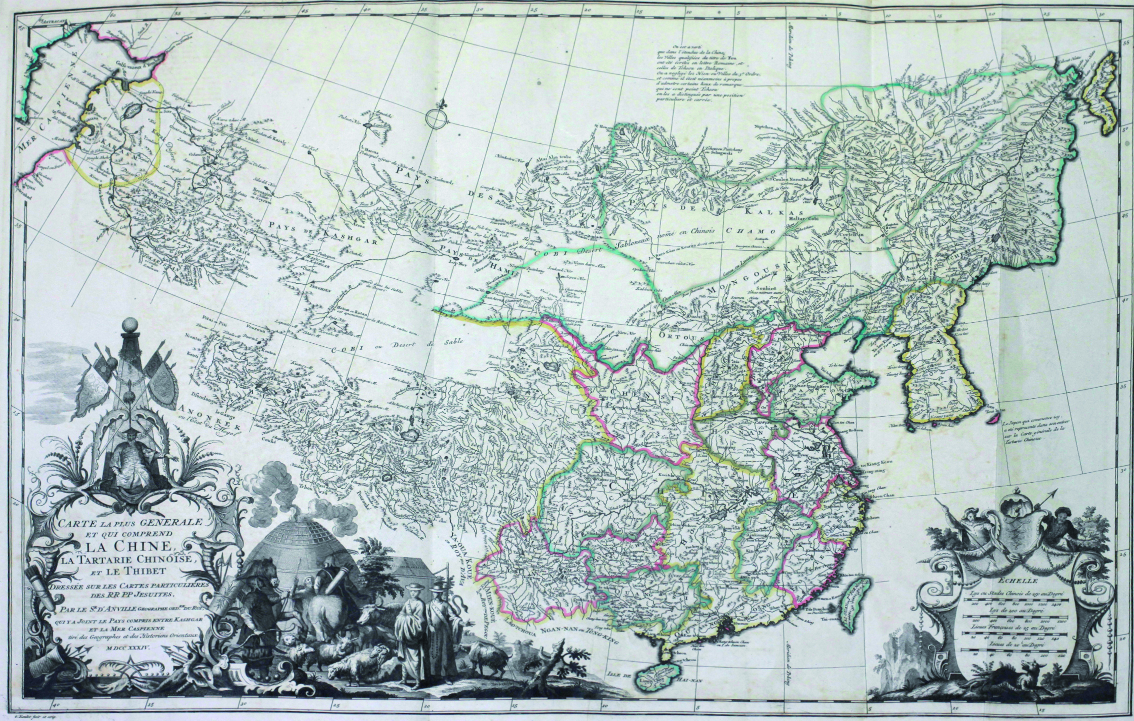
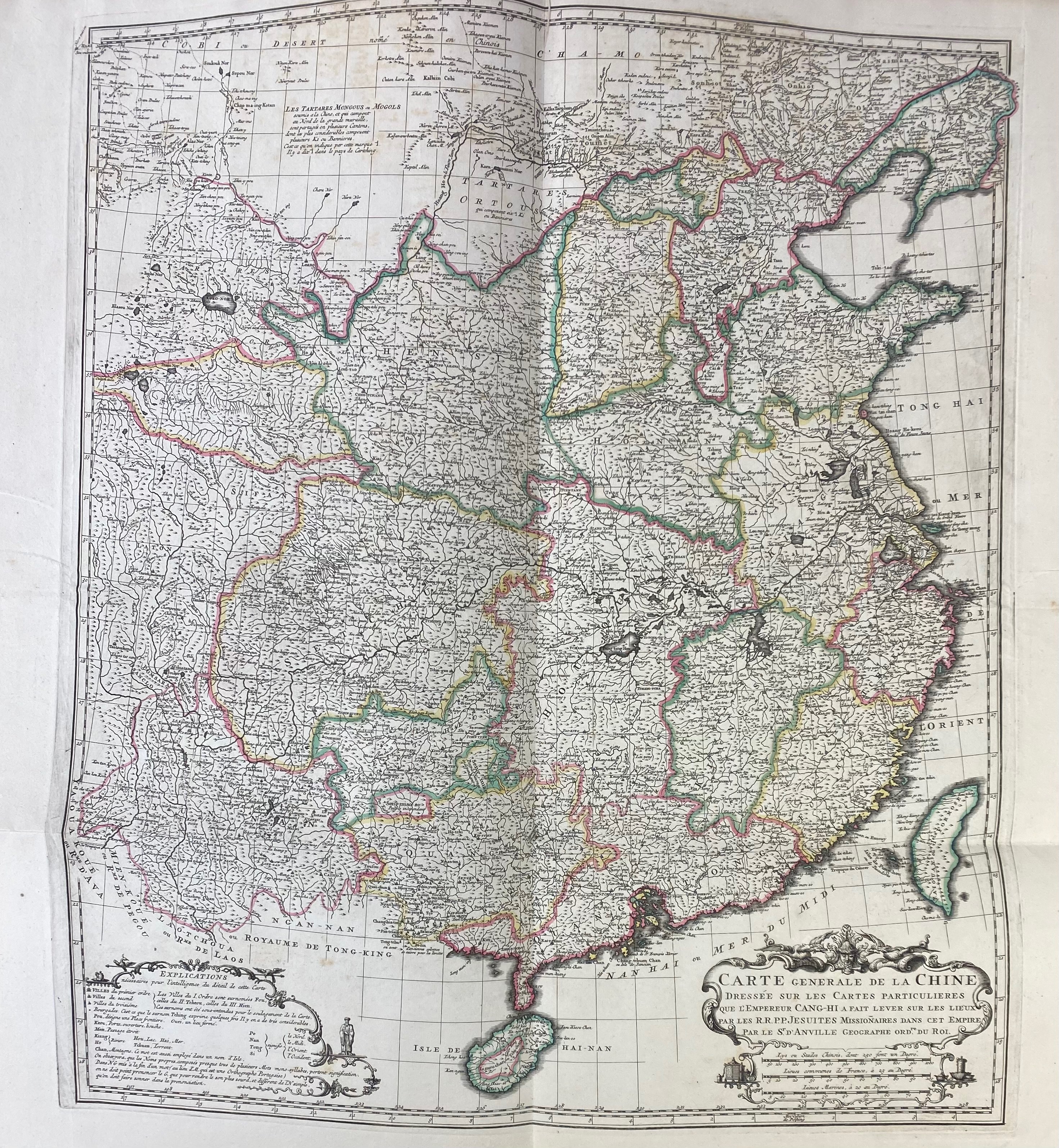
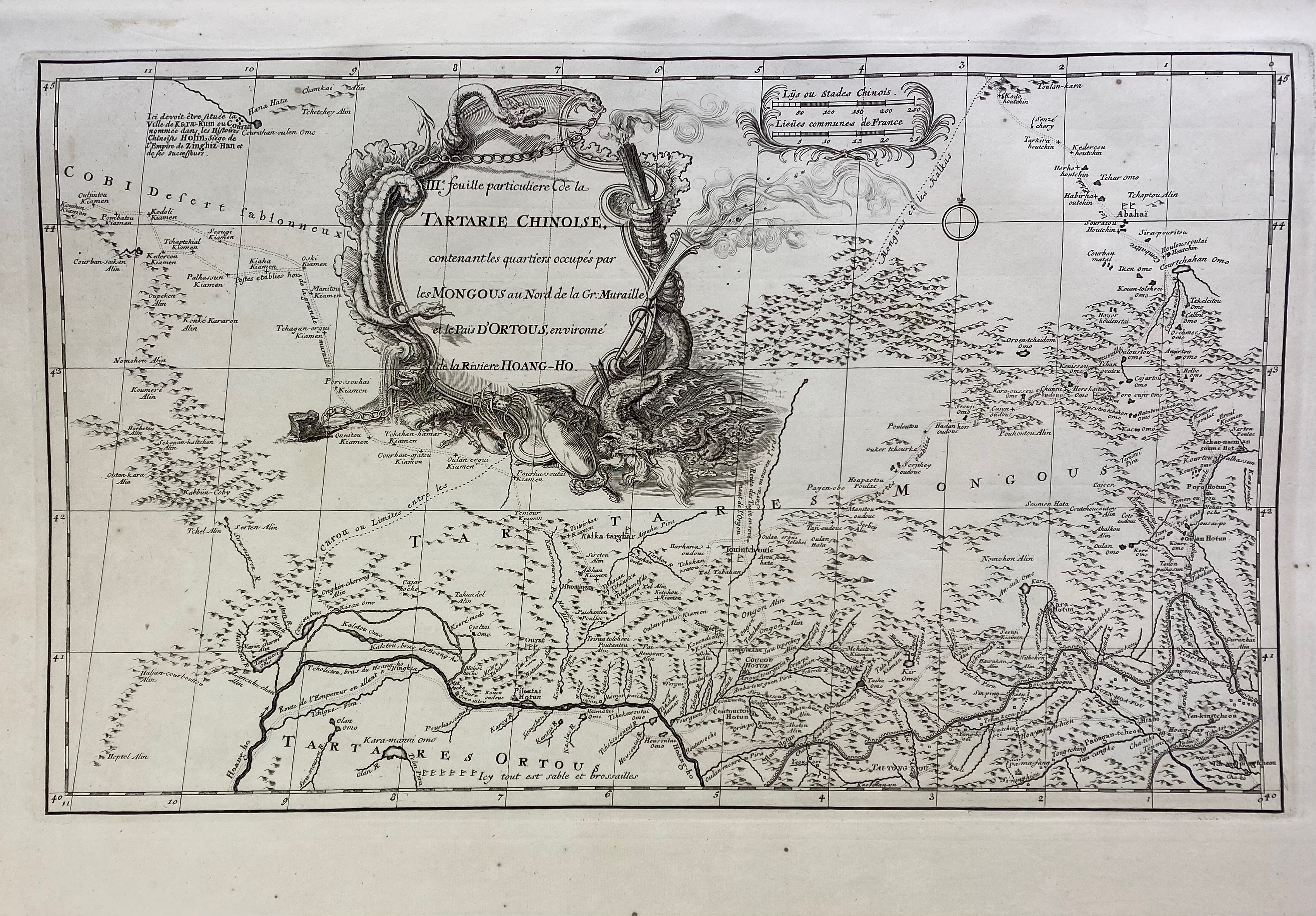
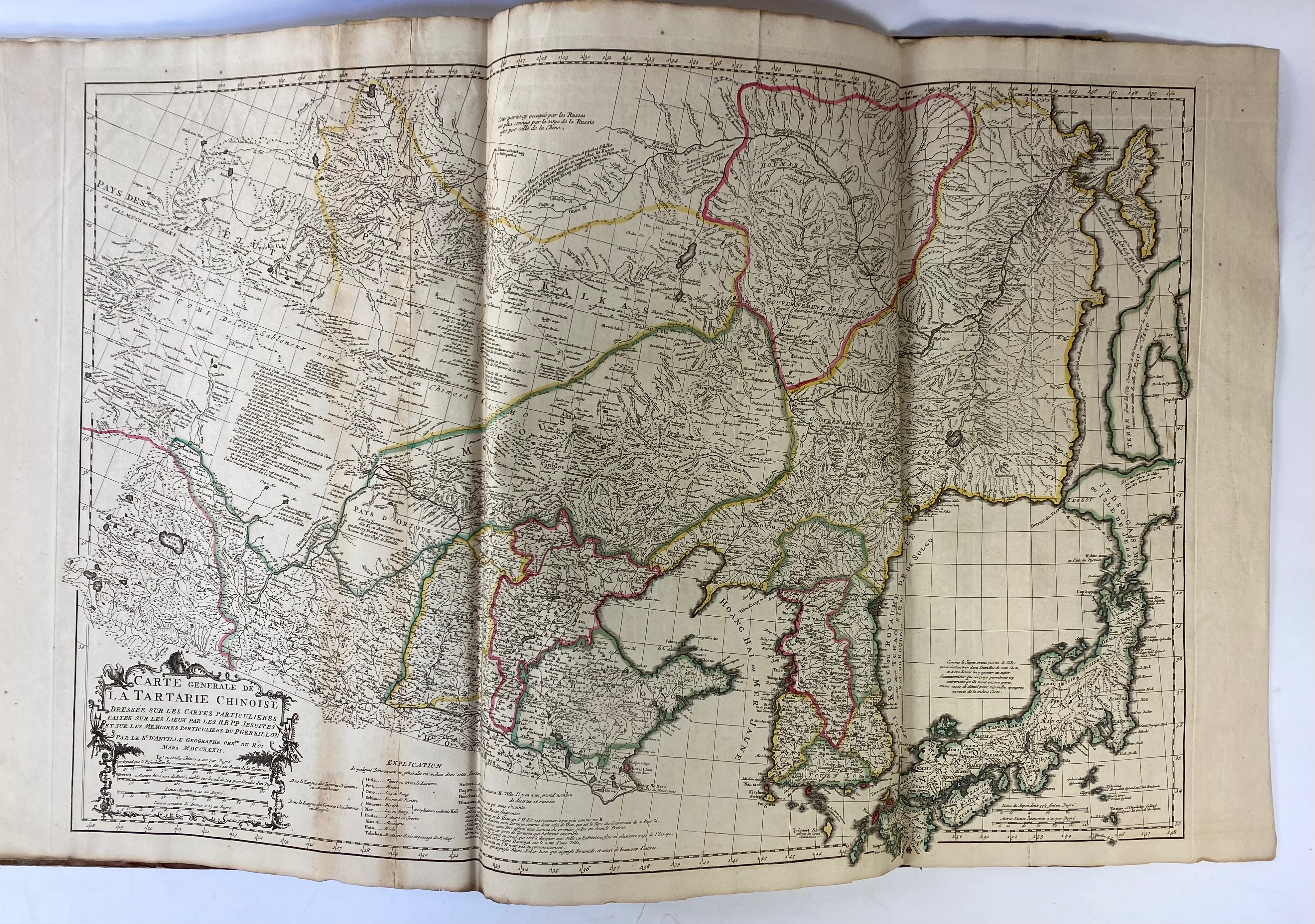
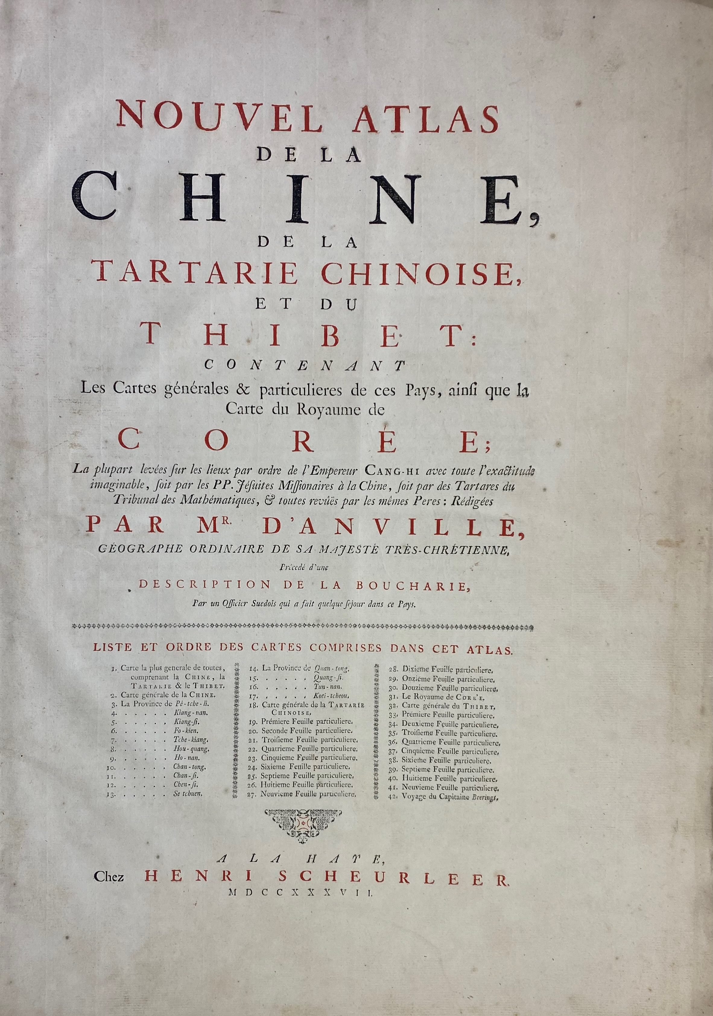
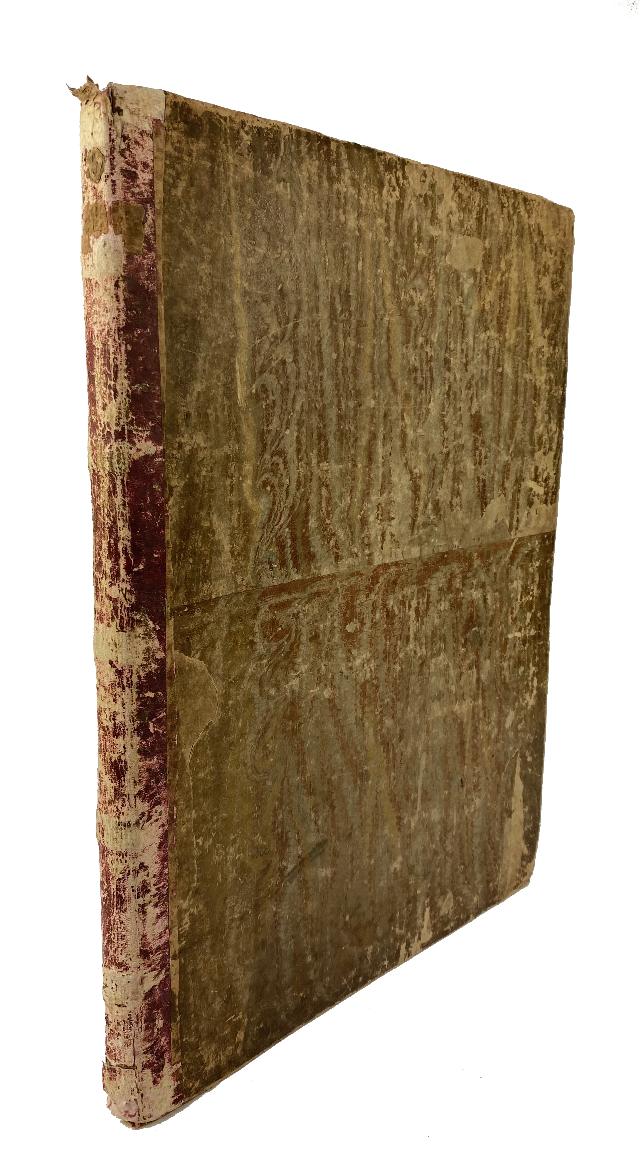
CHINA -- ANVILLE, J.-B. BOURGUIGNON D'. Nouvel atlas de la Chine, de la Tartarie chinoise, et du Thibet: Contenant les cartes générales & particulieres de ces pays, ainsi que la carte du royaume de Corée. The Hague, H. Scheurleer, 1737. 12 pp. W. 42 fine engr. maps (of which 12 fold./double-p.). Lge-fol. Cont. h. goatskin, uncut. (Spine ends a bit dam., spine rubbed/chafed, corners bumped/worn, slightly browned/foxed in places, but a good and clean copy).
Second European Atlas of China (Blaeu's Atlas Sinensis is the first) by the famous French mapmaker, Anville. He drew the maps at request of the Jesuits for du Halde's "Description de la Chine" (1735). This atlas constitutes the first scientific mapping of China, as it is based on triangulation nets in a period when a more scientific approach was being given to the subject. This atlas was the result of a collaboration between the French Jesuits and the Chinese under the Emperor K'ang-hsi. The atlas is also important for early cartographic representations of Tibet and Korea, as well as the first map to illustrate Bering's first voyage (to Kamtschatka) and Russian Alaska. - Cordier, Sinica, 48; Lust 155; Koeman, Anv. 1.€ 5000
uitslag € 5500
Terug