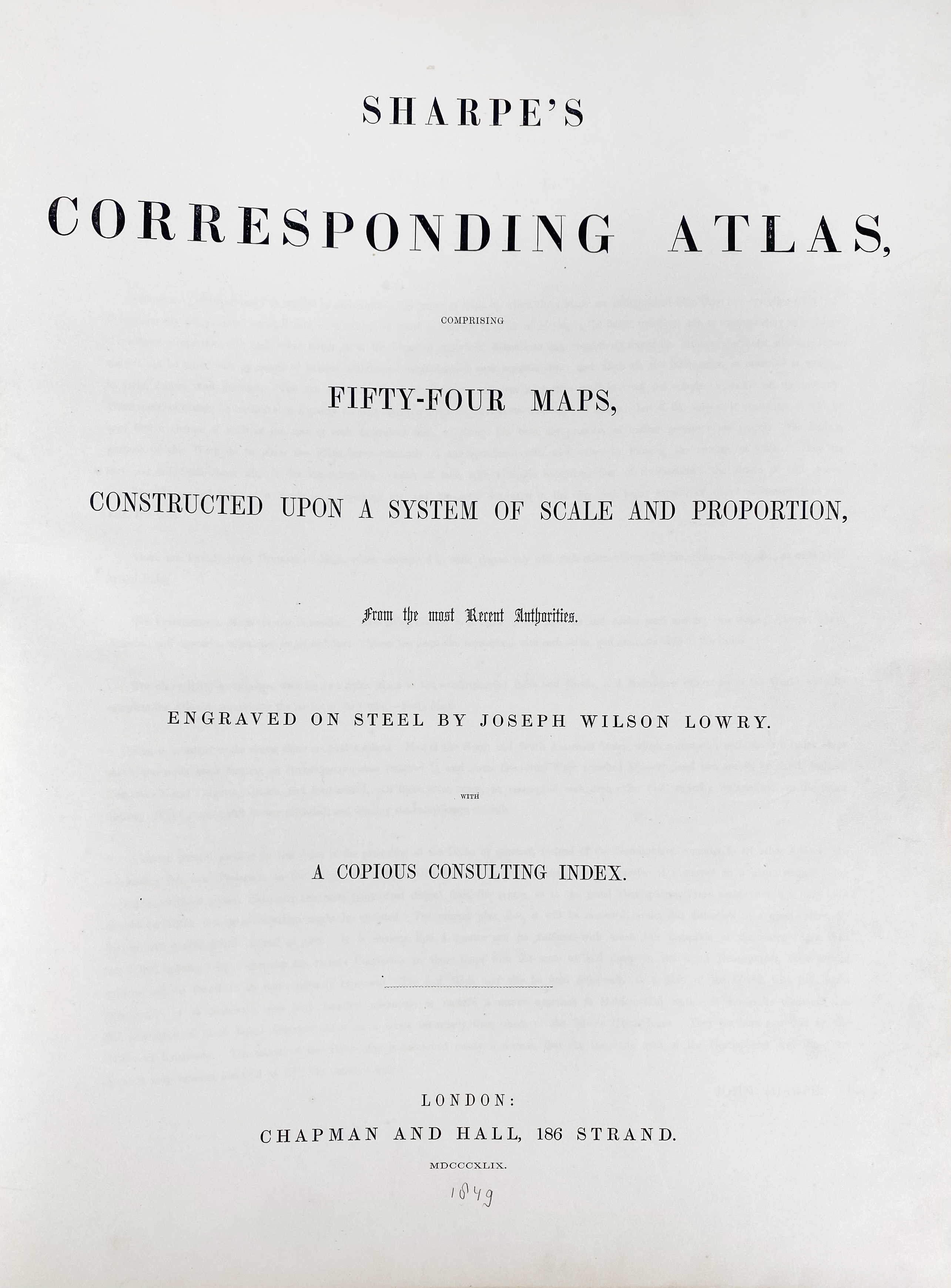
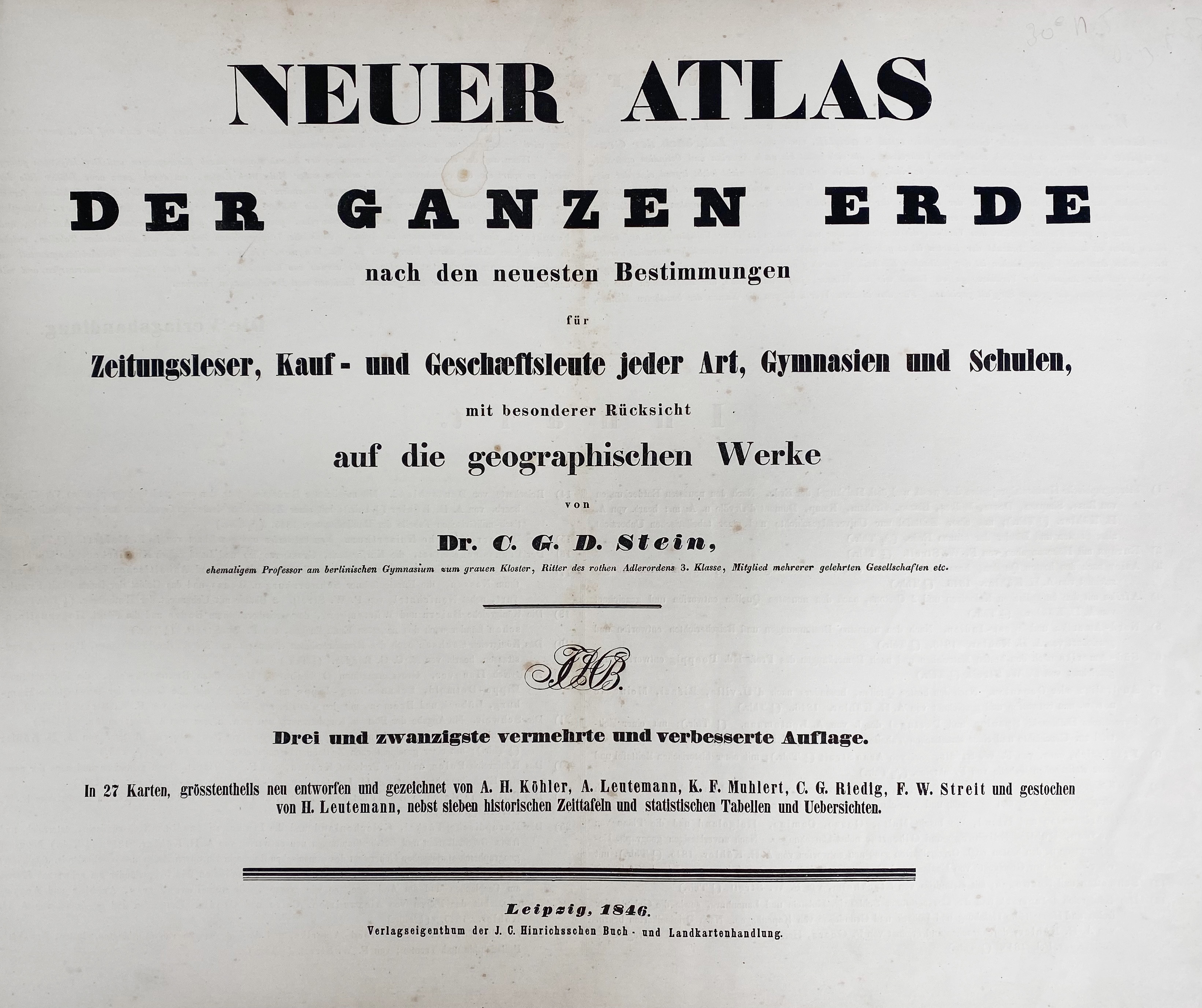
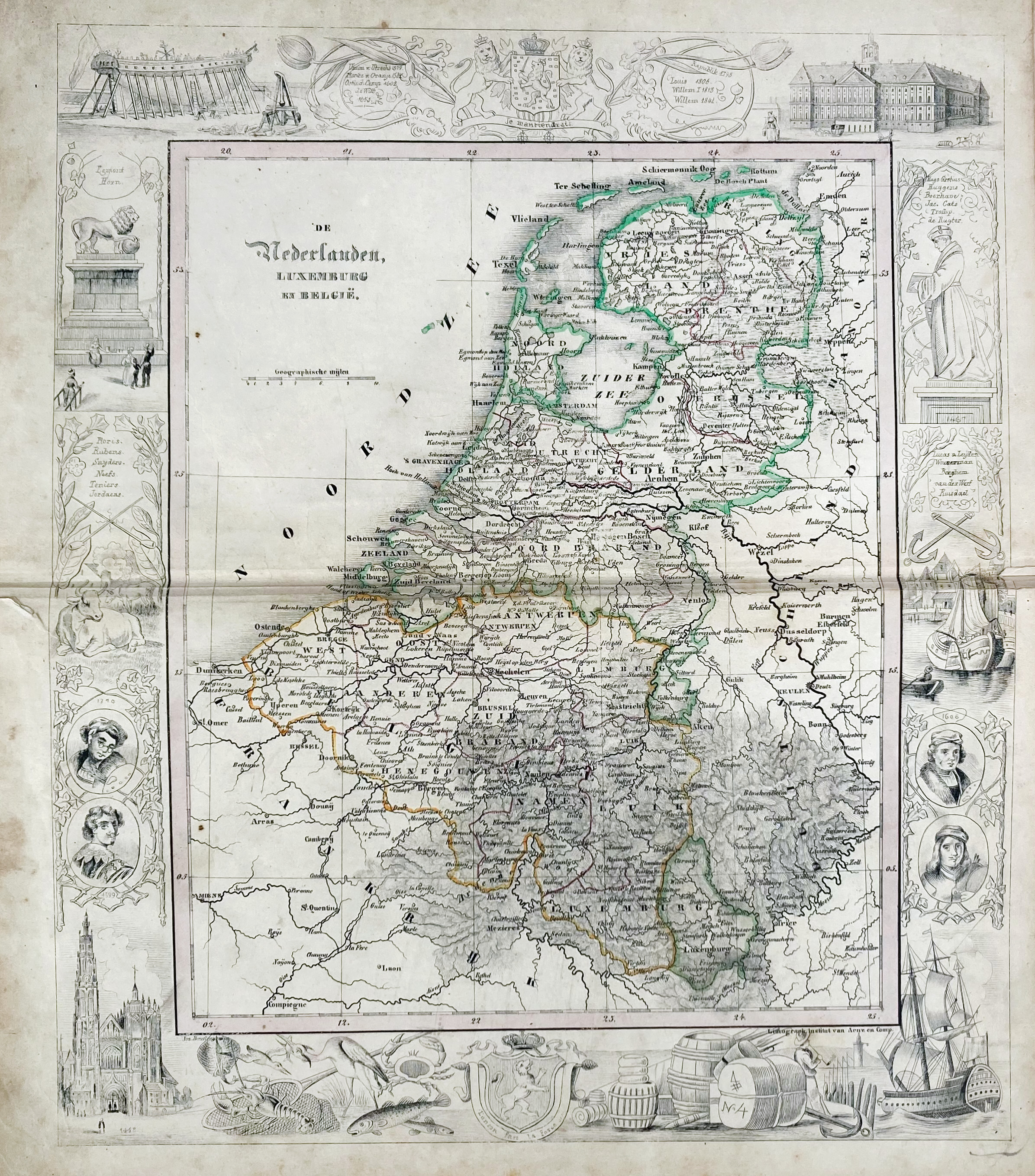
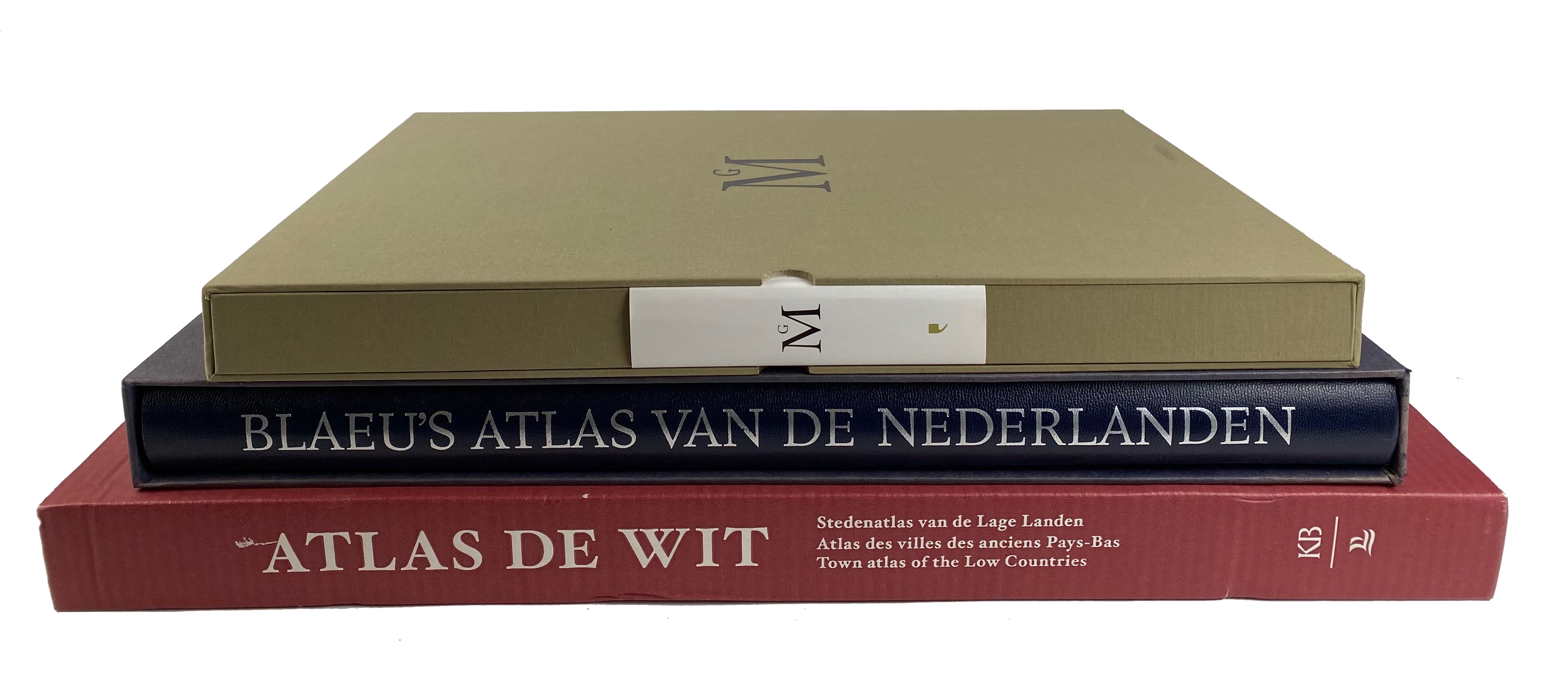
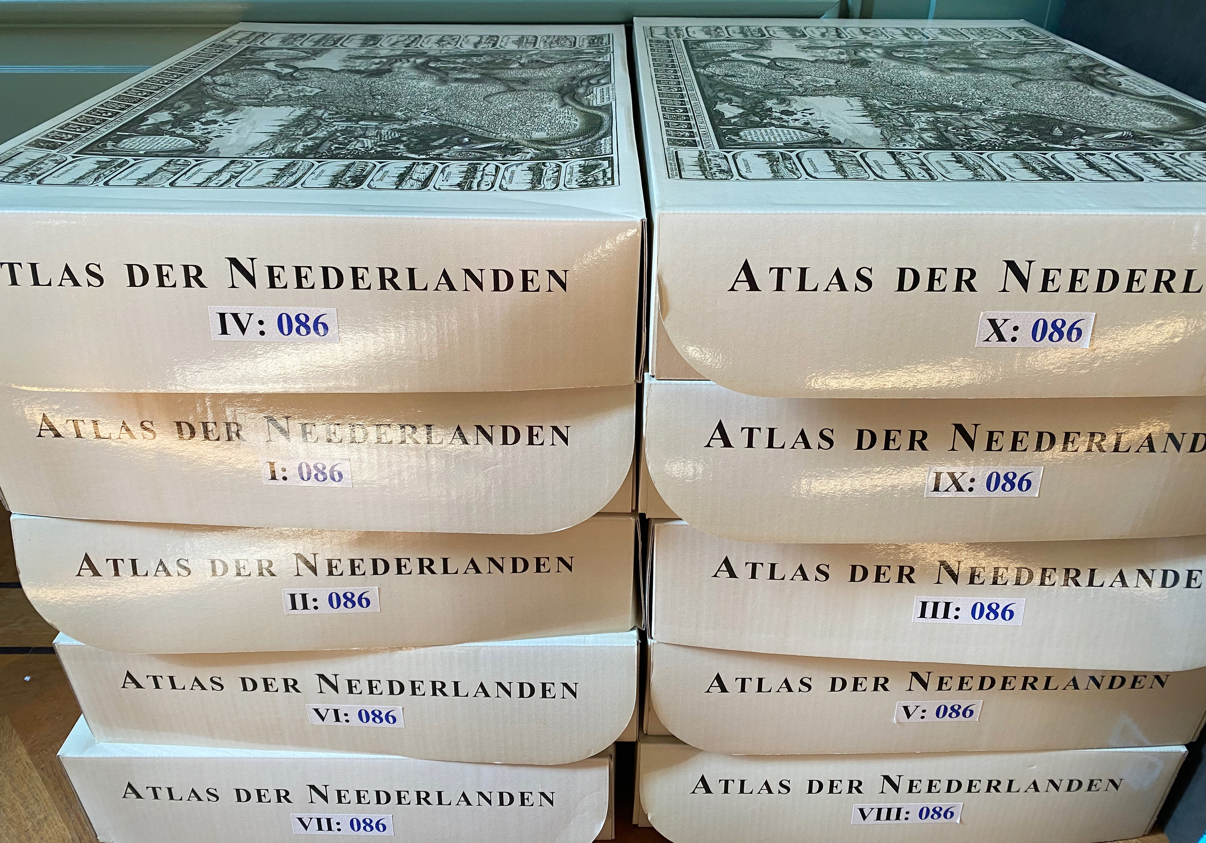
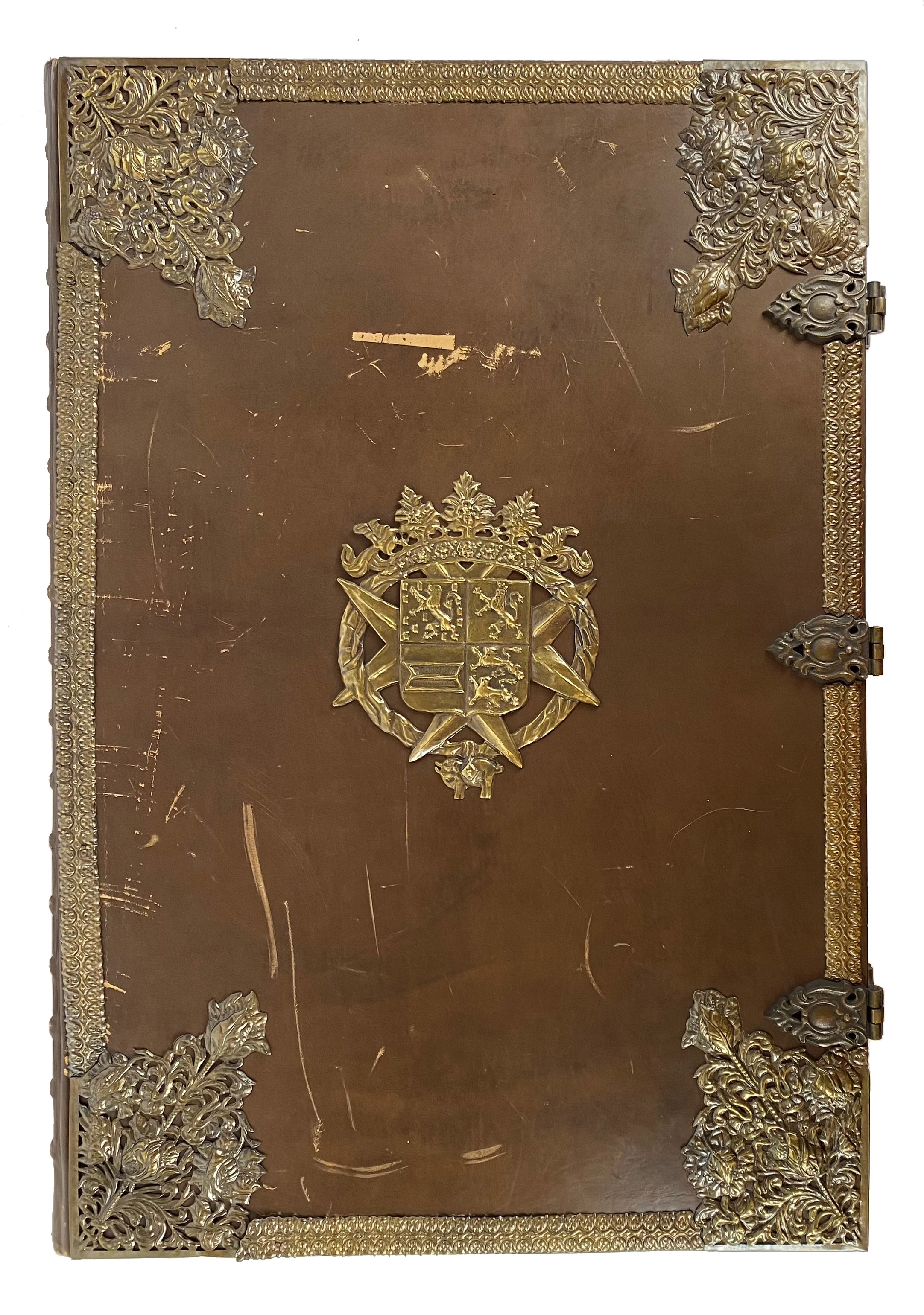
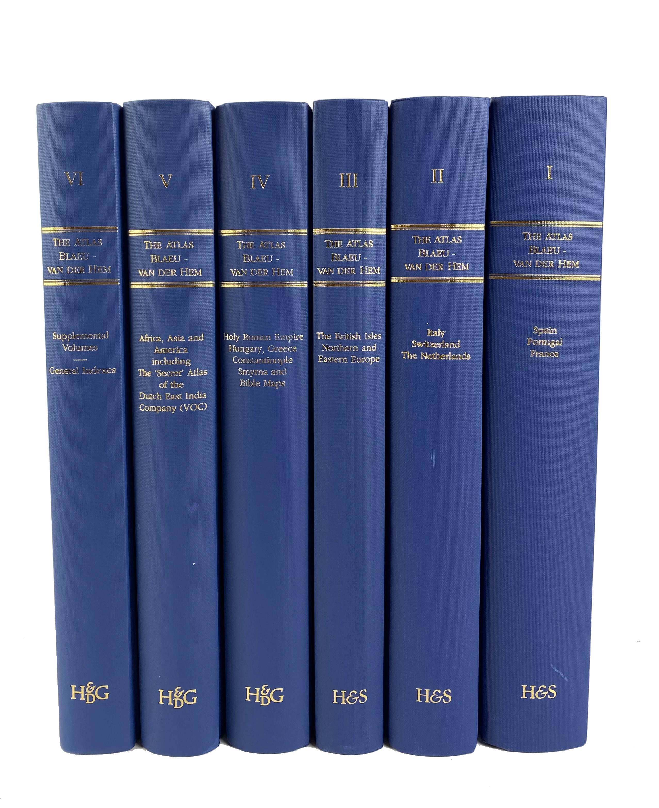
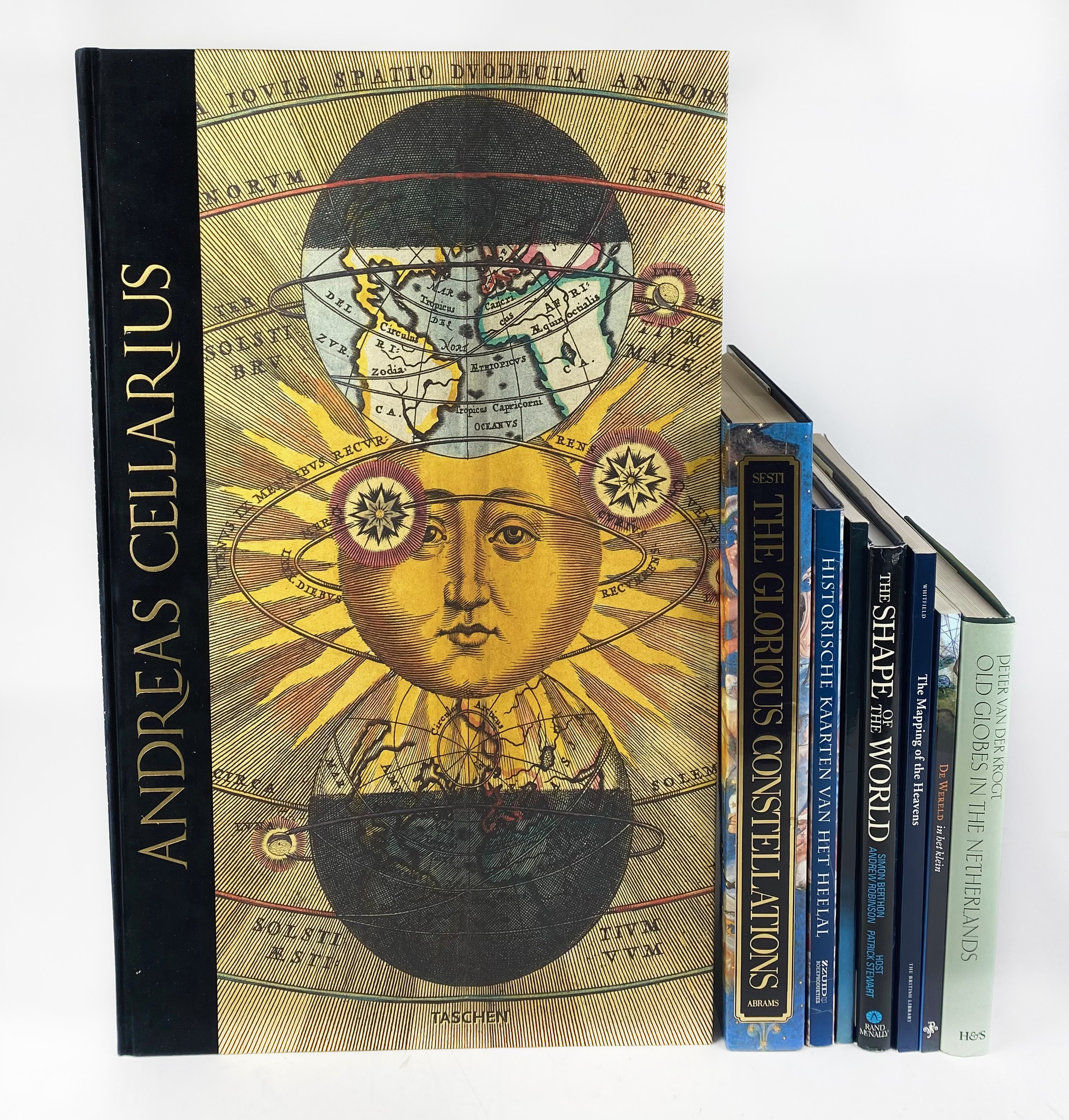
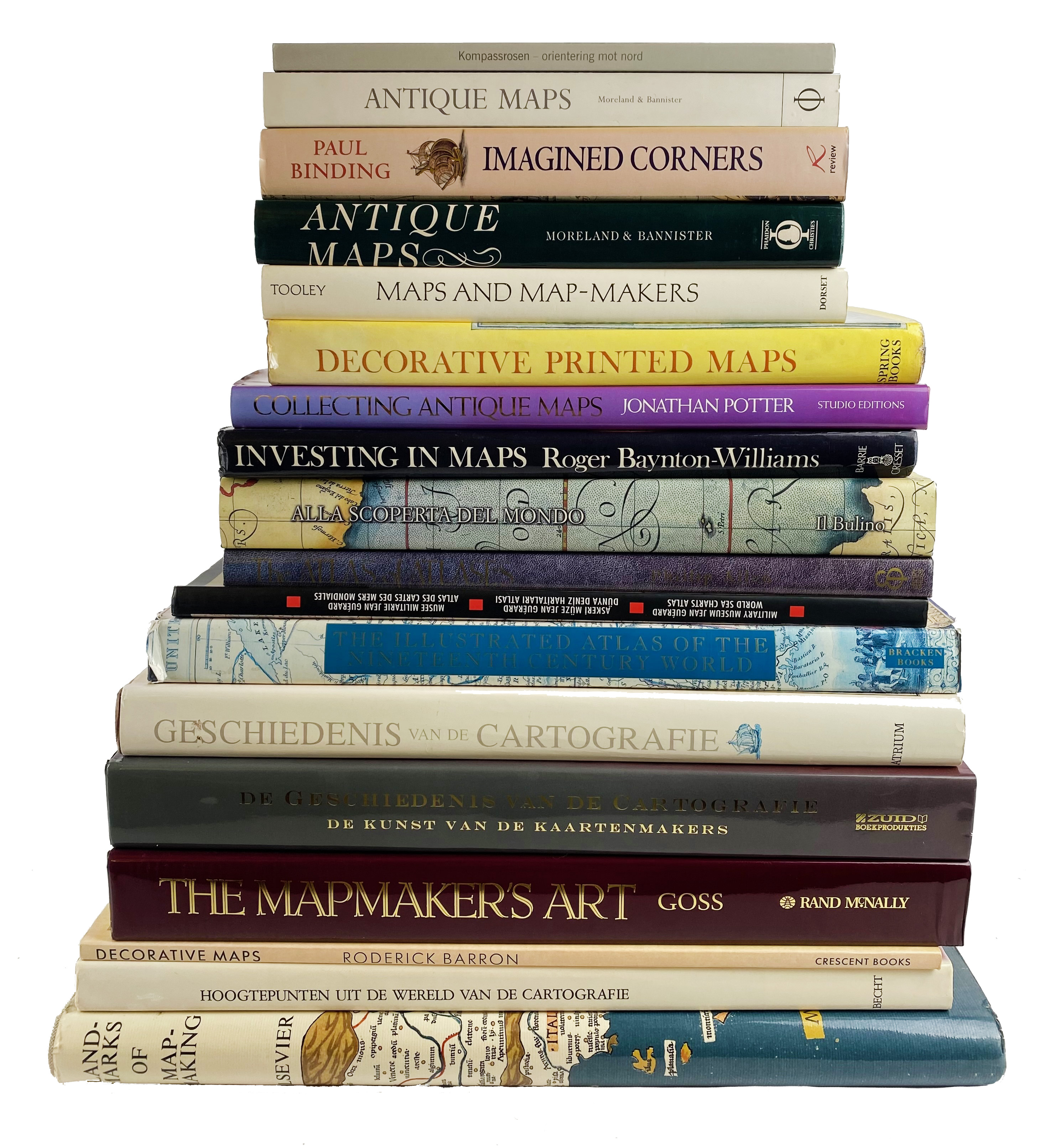
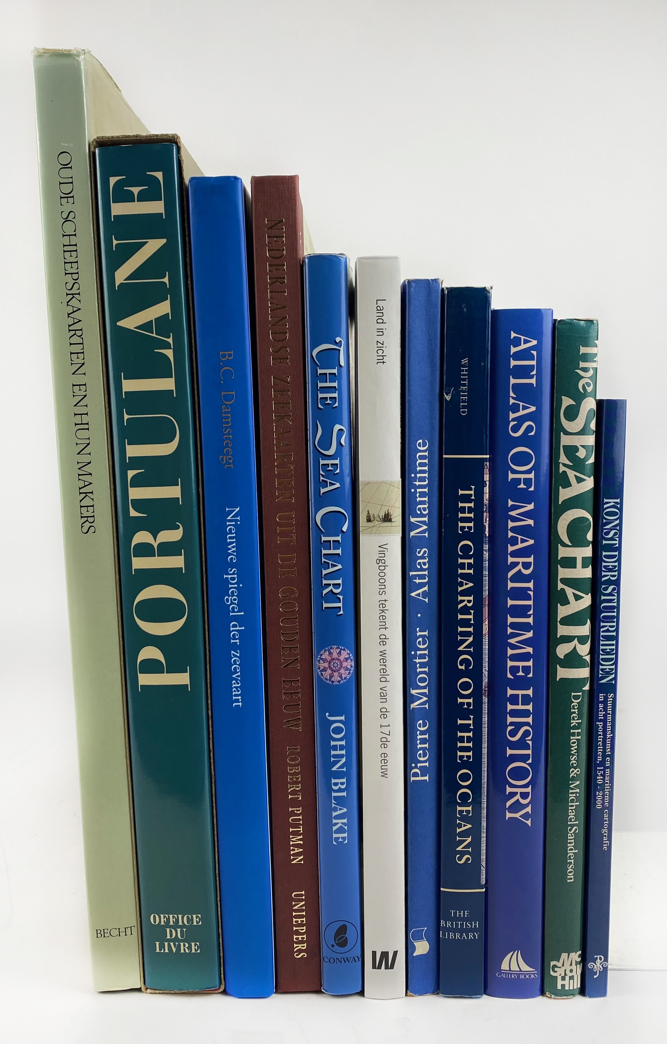
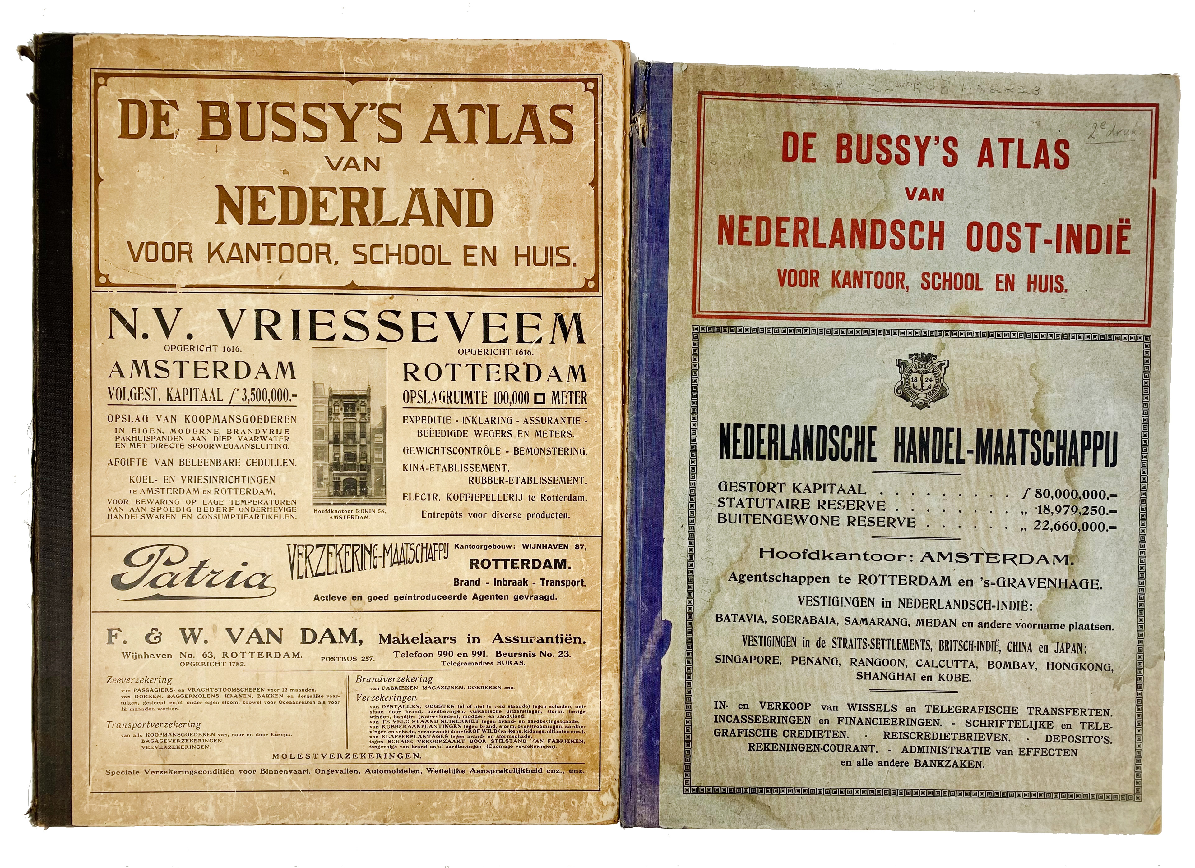
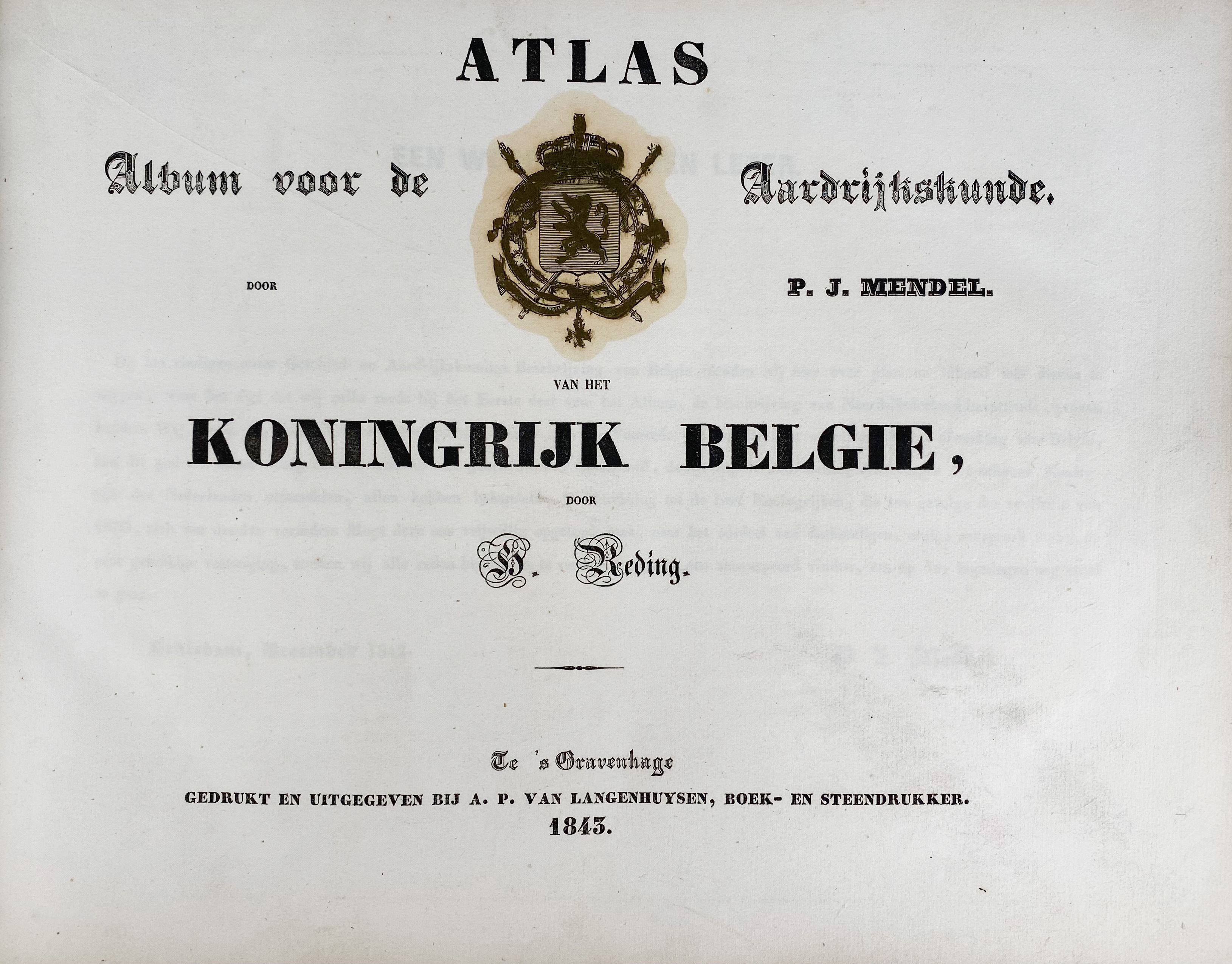
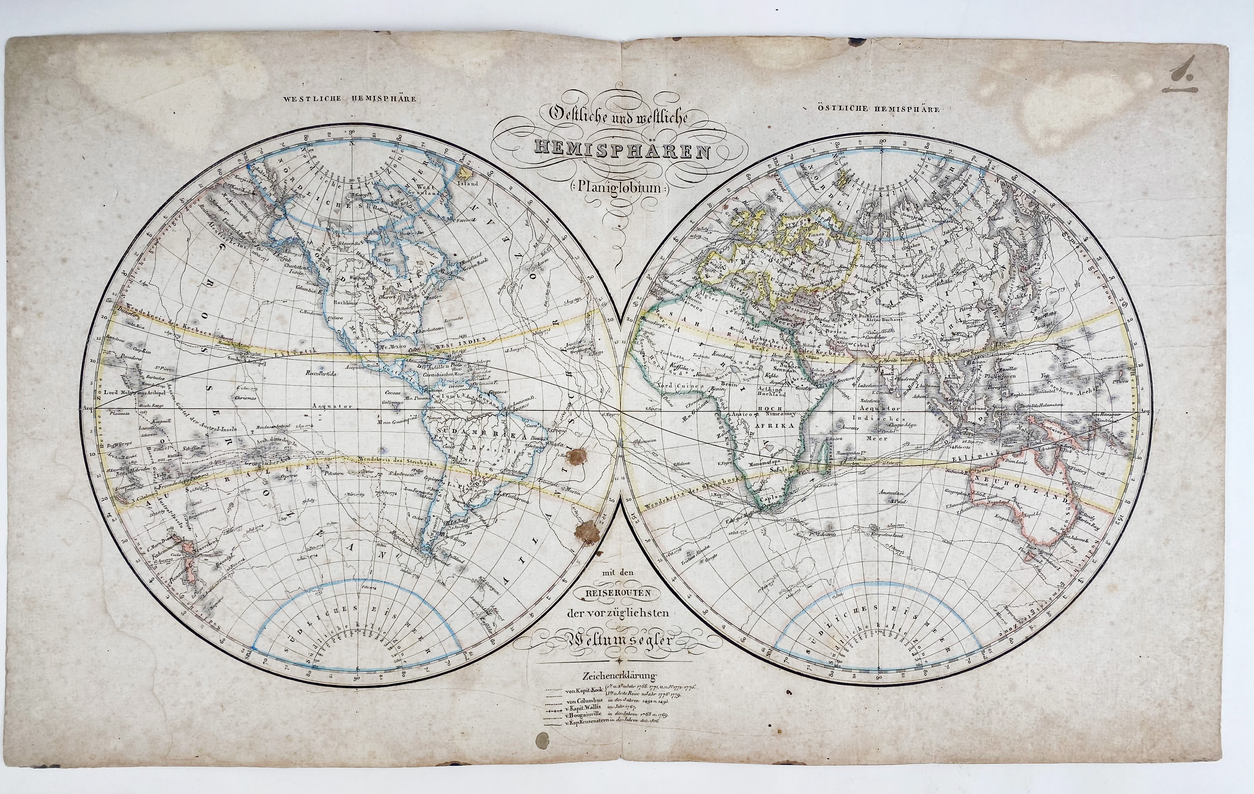
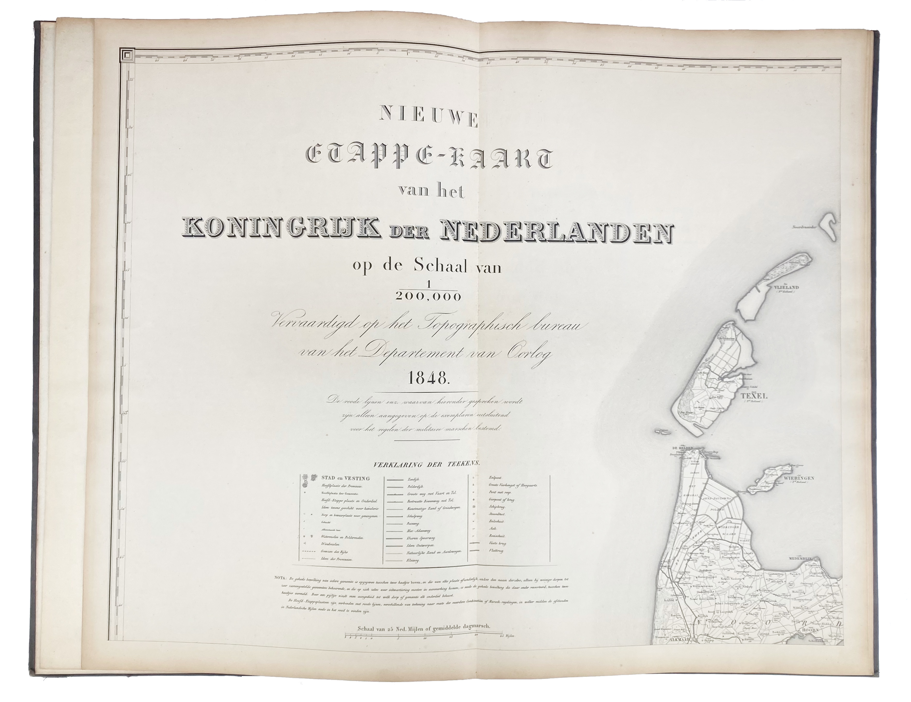
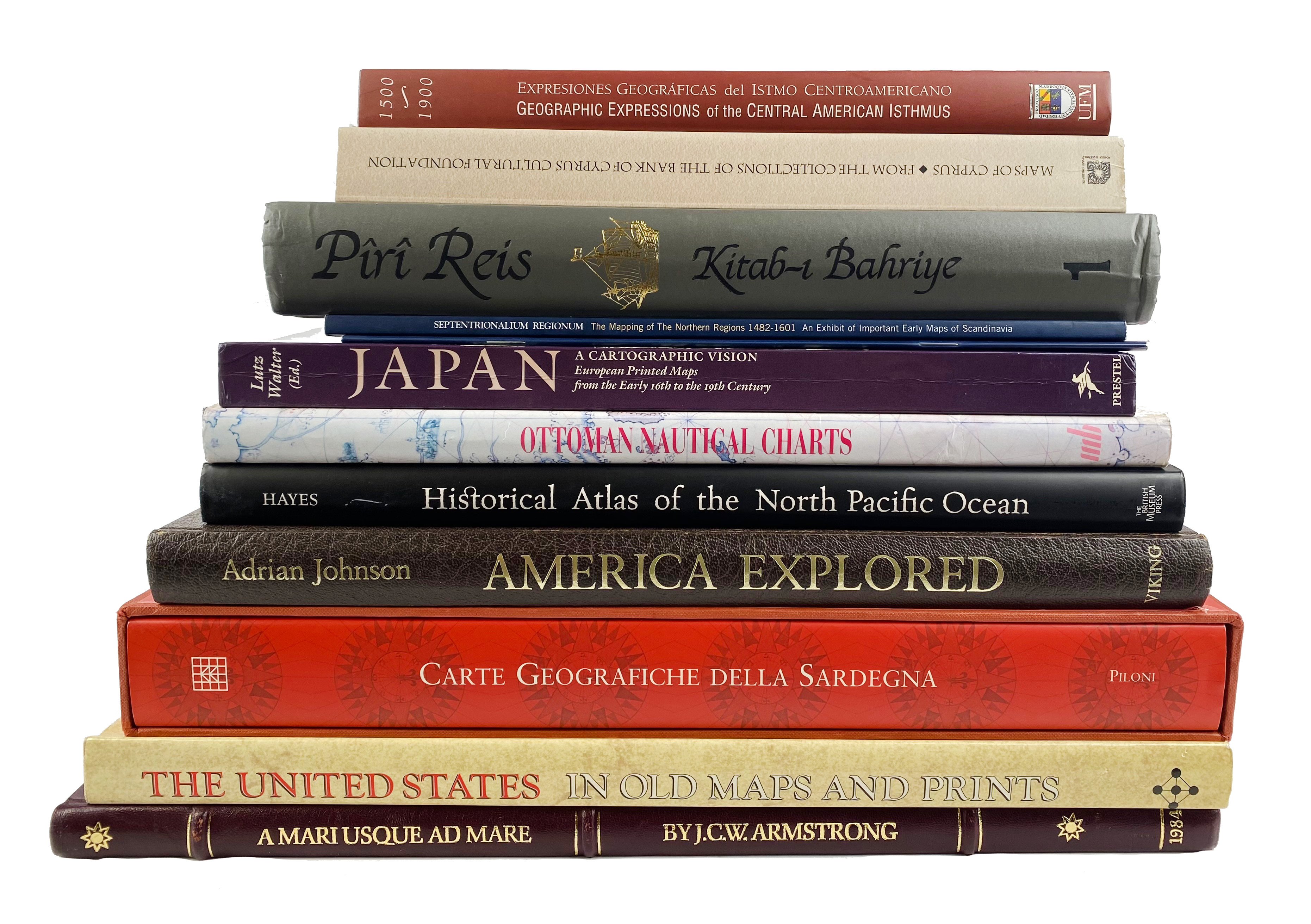
ARNZ, J. School-Atlas van Alle Deelen der Aarde. Leyd., Arnz & Co., (c. 1842). 21 double-p. lithogr. maps cold. in outlines. 4°. Cont. clothbacked brds. (Wear at extremities, bindwork split but holding, some smudges & occasional annot. in pencil).
€ 300
ATLAS DE WIT 1698. Stedenatlas van de Lage Landen. Atlas des villes des anciens Pays-Bas. Town atlas of the Low Countries. Tekst M. v. Delft & P. v.d. Krogt. (Facs. ed. 1698). (2012). 319, (1) pp. Prof. ill. Lge-fol. Obrds. -- G. MERCATOR. Atlas sive cosmographicae meditationes de fabrica mundi et fabricati figura. (Photomech. reprint of the ed. Amst., 1607). (2012). Lge-fol. Ocl. In ocl. slipcase. -- BLAEU'S ATLAS van de Nederlanden. Facs. uitg. Inl. v. C. Broekema. 1973. Fol. Or. bind. In or. slipcase. -- (3).
€ 100
ATLAS DER NEEDERLANDEN. Met toelichting d. J.W.H. Werner. (Voorburg/Amst., Uitg. Asia Maior/Atlas Maior & Bijzondere Collecties UVA, 2013). 10 vols., of which 9 vols. comprising 618 (fold.) maps in facsimile and 1 commentary vol. Lge-fol. and fol. Ohcf. (9) and ocl. w. dust-j. in slipcase. In the or. boxes (45 x 11,5 x 63,5 cm).
€ 1800
ATLAS des Großen Kurfürsten (Mauritiusatlas). Atlas of the Great Elector. (&) Kommentar/Commentary by E. Klemp. (Lpz., Edition Leipzig, 1971). W. 28 (25 double-p.) cold. maps. Elephant fol. & 4°. Or. full leather binding w. raised bands, w. brass coat of arms on both sides, brass dec. fittings in corners and along edges, & 3 brass clasps & catches, a.e.g. (& 'commentary' in or. h. mor. binding). (Small piece of edge fitting loose, some scratchings in places).
€ 400
BLAEU - VAN DER HEM -- KROGT, P. v.d. & E. de GROOT. The Atlas Blaeu - Van der Hem of the Austrian National Library. ('t Goy-Houten, 1996-2008). 6 vols. Prof. illustr. 4°. Ocl.
€ 800
BLONK-v.d. WIJST, D. & J. Zelandia comitatus. Geschiedenis en cartobibliografie van de provincie Zeeland tot 1860.(2010). 4°. Ocl. w. dust-j. -- Id. Hollandia comitatus. Een kartobibliografie v. Holland. (2000). 4°. Ocl. w. dust-j. -- H. DEYS, (a.o.). Guicciardini Illustratus. De kaarten en prenten in L. Guicciardini's 'Beschrijving v.d. Nederlanden'. (2001). 4°. Ocl. w. dust-j. -- (3).
€ 120
BROECKE, M. v.d. Abraham Ortelius and the first atlas. Essays commemorating the quadricentennial of his death, 1598-1998. (1998). 4°. Ocl. -- Id. Ortelius atlas maps. 2nd rev. ed. (2011). Tall-8°. Ocl. w. dust-j. -- H.A.M. v.d. HEIJDEN. Oude kaarten der Nederlanden/Old maps of the Netherlands, 1548-1794. Historische beschouwing, kaartbeschrijving, afbeelding, commentaar/An annotated and illustrated cartobibliography. 1998. 2 vols. 4°. Ocl. w. dust-j. -- H. KLEINSCHMIDT. Ruling the Waves. Emperor Maximilian I, the Search for Islands and the Transformation of the European World Picture c. 1500. (2008). Ocl. w. dust-j. -- And 5 o. (10).
BROECKE, M. v.d. Ortelius atlas maps, an illustrated guide. (1996). Narrow-8°. Ocl. w. dust-j. -- M. WATELET, (red.). Gerardus Mercator Rupelmundanus. (1994). Fol. Ocl. w. dust-j. In or. slipcase. -- H.A.M. v.d. HEIJDEN (&) D.I. BLONK. De kaart v.d. Republiek der VII Provinciën 1615-1797. 2005. 4°. Ocl. w. dust-j. -- C. KOEMAN. Handleiding voor de studie v.d. topografische kaarten v. Nederland, 1750-1850. 1963. 4°. Ocl. -- And 9 o. (13).
€ 80
CELLARIUS, A. Harmonia macrocosmica of 1660. The Finest Atlas of the Heavens. Introd. & texts by R.H. v. Gent. (2006). Lge-fol. Or. h. velvet bind. In or. cardboard box. -- G.M. SESTI. The glorious constellations. (1987). Fol. Ocl. w. dust-j. -- P. v.d. KROGT. Old globes in the Netherlands. A catalogue of terrestrial and celestial globes made prior to 1850 and preserved in Dutch collections. 1984. Ocl. w. dust-j. -- And 5 o. (8).
€ 70
COLLECTION of 18 works on cartography. 20th-21st c. Prof. ill. Dif. sizes. Or. binds. (w. dust-j.) (14) & owrps.
€ 90
DAMSTEEGT, B.C. Nieuwe spiegel der zeevaart. Nederlandse namen op zeekaarten uit de 16e en 17e eeuw. 2e herz. dr. 2001. Fol. Obrds. -- M. de la RONCIÈRE & M.M. du JOURDIN. Portulane. Seekarten vom 13. b.z. 17. Jh. (1984). Fol. Ocl. w. dust-j. -- R. PUTMAN. Oude scheepskaarten en hun makers. Hoogtepunten uit vijf eeuwen cartografie. (1983). Fol. Obrds. w. dust-j. -- Id. Nederlandse zeekaarten uit de Gouden Eeuw. (2005). Fol. Ohcl. -- D. HOWSE & M. SANDERSON. The sea chart. An hist. survey based on the collect. in the Nat. Maritime Mus. (1973). 4°. Ocl. w. dust-j. -- And 6 o. (11).
DE BUSSY'S ATLAS van Nederland voor kantoor, school en thuis. Met Alphabetische lijst van plaatsnamen in Nederland waar postkantoren, hulp-post en telefegraafkantoren gevestigd zijn. Amst., De Bussy, 1915. W. 10 double-p. cold. maps & num. advertisments. Fol. Ohcl. (Spine dam./worn, sides rubbed). Rare first edition. -- Added: DE BUSSY'S ATLAS van Nederlandsch Oost-Indië voor kantoor, school en huis. 2de dr. Amst., J.H. de Bussy, 1922. W. 9 double-p. cold. maps. Fol. Ohcl. (Spine sl. dam., front cover a bit stained). -- (2).
DONKERSLOOT-de VRY, M. Topograf. kaarten van Ned. vóór 1750. Handgetekende & gedrukte kaarten (…) toegel. & beschreven. 1981. 4°. Or. bind. w. dust-j. -- H.A.M. v.d. HEIJDEN. De kaart van Nederland in de Franse tijd, 1795-1814. 2000. 4°. Ocl. w. dust-j. -- Id. Leo Belgicus. An illustrated and annotated carto-bibliography. 1990. 4°. Owrps. -- K. ZANDVLIET. De groote waereld in 't kleen geschildert. Nederlandse kartografie tussen de middeleeuwen en de industriële revolutie. 1985. 4°. Ocl. w. dust-j. -- J.E.A. BOOMGAARD. Holland in kaart en prent. (1984). Fol. Ocl. w. dust-j. -- M.W. HESLINGA, (e.a.). Nederland in kaarten. Verandering v. stad en land in vier eeuwen cartografie. (1985). Fol. Or. bind. w. dust-j. -- And 6 o. (12).
GORSHKOV, S.G., ed. World ocean atlas. Vol. 1: Pacific Ocean (Tikhii okean). Pergamon Press, 1976. W. num. maps. Lge-fol. Ocl. (English title, Russian text). -- PHILADELPHIA Public Ledger's unrivaled atlas of the world. Philadelphia, 1899. W. num. maps. Fol. Or. gilt & black dec. green cl. w. marbled edges. (Spine ends worn). -- (2).
HAMELEERS, M., (e.a.). Kaarten van Amsterdam, 1538-2012. Bussum, (2013). 2 vols. Fol. Obrds. w. dust-j. -- W. HOFMAN. Historische plattegronden v. Nederlandse steden Dl. 1: Amsterdam. 1978. W. booklet & plates. Lge-fol. Tog. in or. portfol. -- J.J. BEELDSNYDER. Kaart van Noord-Holland 1575/1608. (2002). W. booklet and plates. Lge-fol. Tog. in or. portfol. -- And 6 o. (10).
HEIJDEN, H.A.M. v.d. Oude kaarten der Nederlanden/Old maps of the Netherlands, 1548-1794. Historische beschouwing, kaartbeschrijving, afbeelding, commentaar/An annotated and illustrated cartobibliography. Alphen a/d R., (etc.), 1998. 2 vols. 4°. Ocl. w. dust-j.
JOSENHANS, J. Atlas der evangelischen Missions-Gesellschaft zu Basel. Basel, (1859). W. engr. ti. & 11 cold. (fold.) maps. 4°-obl. Limp brds. (Ti-p. dust-soiled). -- W. HUGHES. Bible maps; or, a historical and descriptive atlas of scripture geography. Lond., 1841. W. 12 maps, cold. in outlines. Lge-8°. Blind tooled cl. -- And 8 o., incl. 6 German school-atlases. (10).
€ 150
KOEMAN, C. & H.J.A. HOMAN. Atlantes Neerlandici. Bibliography of terrestrial, maritime and celestial atlases and pilot books, publ. in the Netherlands up to 1880. Includes: Bibliography of geographical, celestial and thematic atlases publ. between 1880-1940. Amst., Alphen/Rijn, (1967)-85. 6 vols. Prof. ill. Fol. Ocl. (5 spines sl. faded)
€ 360
KROGT, P. v.d., (ed.). Koeman's Atlantes Neerlandici. Vol. I-IV. 't Goy-Houten, HES, (1997-2012). 4 parts in 9 vols. W. 9 cold. fronts., num. ills. 4°. Ocl. - All published, still in progress.
€ 1400
MAP COLLECTOR, THE. Nos. 1-74 & indices 1-60 (5 in 2 vols). 1977-1996. Tog. 79 in 76 vols. Prof. ill. 4°. Owrps. (75) & cl. - Complete run.
MENDEL, P.J. & H. REDING. Album voor de aardrijkskunde. Atlas van het Koningrijk België. The Hague, A.P. v. Langenhuysen, 1843. 235, (3) pp. W. 10 lithogr. (cold.) maps, & 10 lithogr. cold. plates. 4°-obl. Cont. hcf. (Spine half gone, corners bumped, a bit foxed).
NEUER ALLGEMEINER Hand- und Schul-atlas in sechs und zwanzig Blättern. 2. Aufl. Karlsruhe & Freiburg, (1829). W. lithogr. ti. & 26 lithogr. maps, cold. in outlines. 4°-obl. Old clothbacked brds. (Bind. a bit worn & dam., all plates loose, sm. rep. on ti-p., margins a bit stained, somewhat foxed/browned, a used but complete copy).
€ 140
NIEUWE ETAPPE-KAART v.h. Koningrijk der Nederlanden op de schaal van 1:200 000 vervaardigd op het topographisch bureau van het Departement van Oorlog. 1848. Lithogr. map of the Netherlands dissected in 6 fold. lvs., 630 x 750 mm each. Maps & title-p. mounted on stubs. Lge-fol. Cont. cl. (Spine ends reinforced w. tape, sides & extremities worn, some marginal yellowing but clean & well-bound).
€ 160
PILONI, L. Carte geografiche della Sardegna. (1997). Fol. Obrds. In or. slipcase. -- J.P. BORNHOLT. Cuatro siglos de expresiones geográficas del Istmo Centroamericano. Four centuries of geographic expressions of the Central American Isthmus, 1500-1900. (2007). 4°. Obrds. w. dust-j. -- L. NAVARI, ed. Maps of Cyprus. 2003. 4°. Owrps. -- K. ÖZDEMIR. Ottoman nautical charts and the atlas of Ali Macar Reis. (1992). 4°. Or. bind. w. dust-j. -- PÎRÎ REIS. Kitab-i Bahriye. Vol. 1. (1988). 1 (of 4) vols. Or. grey bind. w. gilt dec. & black lettering. -- And 7 o. (12).
RUTTE, R. & B. VANNIEUWENHUYZE. 226 stadsplattegronden uit 1545-1575. Schakels tussen verleden en heden. (2018). 4°. Obrds. -- P. GESTEL-v.h. SCHIP & P. v.d. KROGT, eds. Mappæ antiquæ. Liber amicorum Günter Schilder. (Houten, 2007). 1 text-vol. & 1 portfol. w. 15 fold. maps. 4°. Ocl. In or. slipcase. -- M. HAMELEERS. Kaarten van Amsterdam, 1866-2000. (2002). Fol. Ocl. w. dust-j. -- L. DANCKAERT. Brussel: Vijf eeuwen cartografie. (1989). Fol. Ocl. w. dust-j. -- And 2 o. (7).
SCHILDER, G. Monumenta cartographica Neerlandica. Alphen a/d Rijn, 1986-2013. Tog. 19 vols.: 9 text-vols., 9 atlas-vols. & 1 index vol. Fol., fol.-obl. & 8° (=index). Ocl. - Complete set w. the rare index.
€ 700
SCHILDER, G. & H. KOK. Sailing for the East. History & catalogue of manuscript charts on vellum of the Dutch East India Company (VOC), 1602-1799. 2010. Prof. ill. & w. CD-ROM in rear pocket. 4°. Ocl. w. dust-j. -- K. ZANDVLIET. Mapping for money. Maps, plans and topographic paintings and their role in Dutch overseas expansion during the 16th and 17th c. 1998. 4°. Obrds. w. dust-j. -- A. WENTHOLT, red. In kaart gebracht met kapmes en kompas. Met het Kon. Ned. Aardrijkskundig Genootschap op expeditie tussen 1873 en 1960. 2003. 4°. Owrps. -- And 2 o. (5).
SCHOORL, H. De convexe kustboog. Texel - Vlieland - Terschelling. Bijdr. tot de kennis v.h. westelijk Waddengebied en de eilanden Texel, Vlieland en Terschelling. 1999. 4 vols. 4°. Obrds. -- P.P.W.J. v.d. BRINK. 'In een opslag v.h. oog'. De Hollandse rivierkartografie en waterstaatszorg in opkomst, 1725-54. 1998. 4°. Ocl. w. dust-j. -- M. HAMELEERS. West-Friesland in oude kaarten. (1987). 4°. Obrds. w. dust-j. -- GROTE HISTORISCHE ATLAS van Nederland. 1:50.000. 4 vols. 4°. Or. binds. -- And 6 o. (16).
SHARPE'S Corresponding atlas, comprising fifty-four maps, constructed upon a system of scale and proportion. With a copious consulting index. Lond., Chapman and Hall, 1849. W. 54 engr. maps by J.W. Lowry, all cold. in outlines. Fol. Mod. hcl. extra.
STEIN, C.G.D. Neuer Atlas der ganzen Erde. 23. verm. & verbes. Aufl. Lpz., 1846. W. 27 engr. maps, cold. in outlines. Lge-fol.-obl. Cont. h. mor. (Spine partly dam., some foxing). -- G. DROYSEN. Allg. hist. Handatlas in 96 Karten. Ausgeführt v. R. Andree. 1886. Fol. Ohcf. extra. (Spine ends & corners dam., stamp on ti.). -- A. GRÄF. Hand-Atlas des Himmels und der Erde. 1868. W. 41 cold. (in outlines) maps. Fol. Clothbacked brds. -- And 3 o. atlases. (6).
€ 130
VAN ORTROY, F. L'oeuvre cartographique de G. et C. de Jode. 1914. Owrps. (Unopened). -- H.A.M. v.d. HEIJDEN. Leo Belgicus. An illustrated and annotated carto-bibliography. 1990. 4°. Obrds. -- C. KOEMAN. Geschiedenis v.d. kartografie v. Nederland. Zes eeuwen land- en zeekaarten en stadsplattegronden. 1983. 4°. Ocl. w. dust-j. -- S.J. FOCKEMA ANDREAE & B. v. 't HOFF. Geschiedenis der kartografie van Nederland (...) t.h. midden der 19e eeuw. 1947. 4°. Ohcl. -- M. v. DELFT & R. STORM. De geschiedenis van Nederland in 100 oude kaarten. (2019). Fol. Obrds. -- And 4 o. (9).
VRIES, D. de, G. SCHILDER, (a.o.). The Van Keulen cartography Amsterdam 1680-1885. (&) Indexsheets (loosely added). Alphen a/d Rijn, 2005. Fol. Ocl. -- G. SCHILDER. The world map of 1624 by Willem Jansz. Blaeu & Jodocus Hondius. - Id. Three world maps by Francois v.d. Hoeye of 1661, Willem Janszoon (Blaeu) of 1607, Claes Janszoon Visscher of 1650. - Id. & J. WELU. The world map of 1611 by Pieter van den Keere. - Amst., N. Israel, 1977-81. 3 (of 4) vols. Full size facsimile of the maps involved plus comment. text. Lge-fol. Owrps. -- Added: G. KEYES. Pieter Bast. 1981. W. 37 b/w plates, loose as issued. Lge-obl.-fol. In ocl. portfol. -- (5).
WERNER, J. De Atlas der Neederlanden. Kaarten van de Republiek en het prille Koninkrijk met 'Belgiën' en 'Coloniën'. (2013). Fol. Ocl. w. dust-j. In or. slipcase. -- M. v. DELFT & R. STORM. De geschiedenis van Nederland in 100 oude kaarten. (2019). Fol. Obrds. -- And 1o. (3).