Lot 822
822
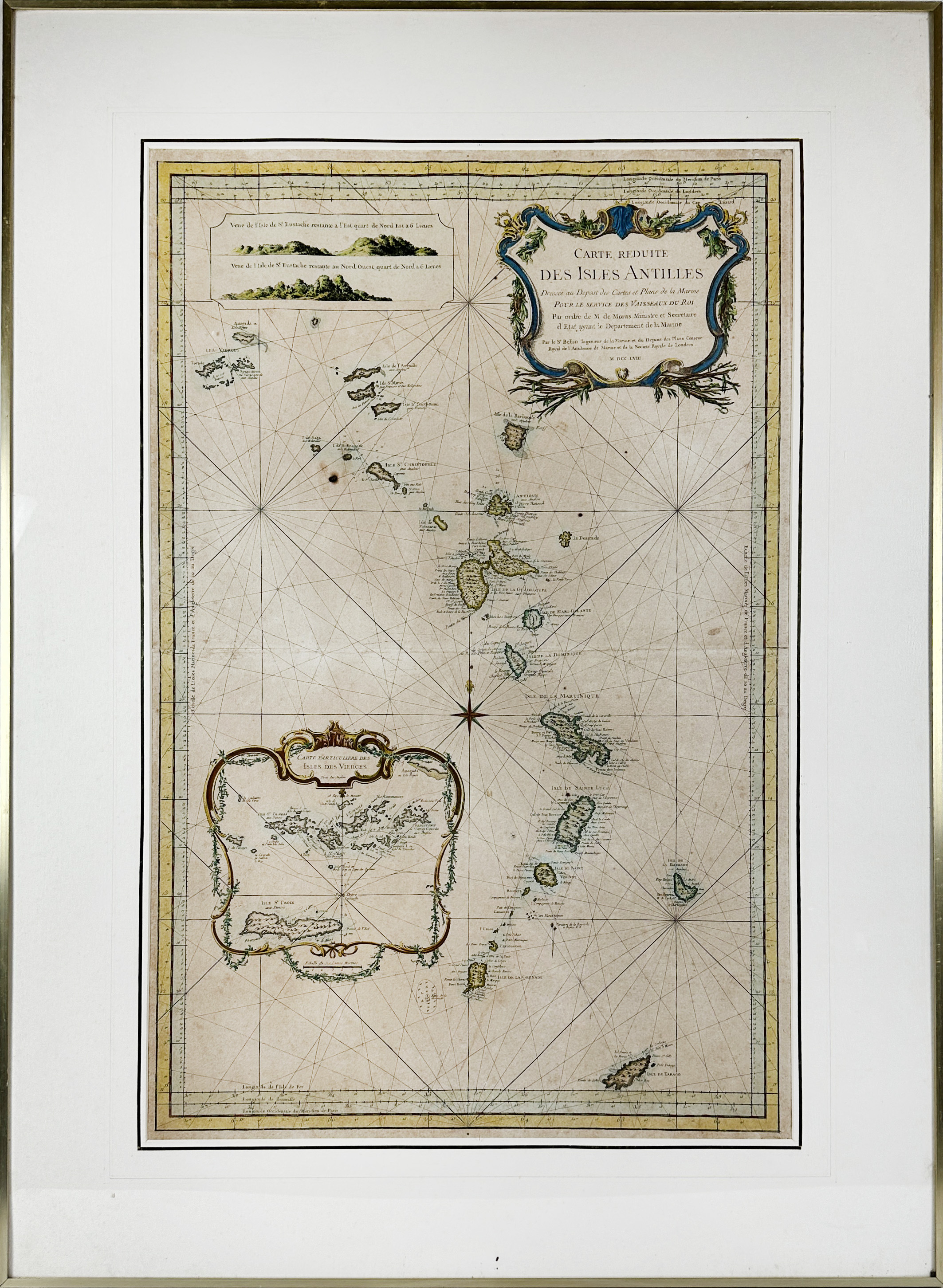
WEST INDIES -- "CARTE RÉDUITE DES ISLES ANTILLES". (Par.), J.N. Bellin, 1758. Engr. sea chart in cont. col. 907 x 580 mm. Framed, under passepartout and glazed. (Uninspected out of frame).
This large-scale sea chart covers the region from the Virgin Islands to Grenada and Tobago in great detail.€ 400
result € 0
Back