Lot 1035
1035
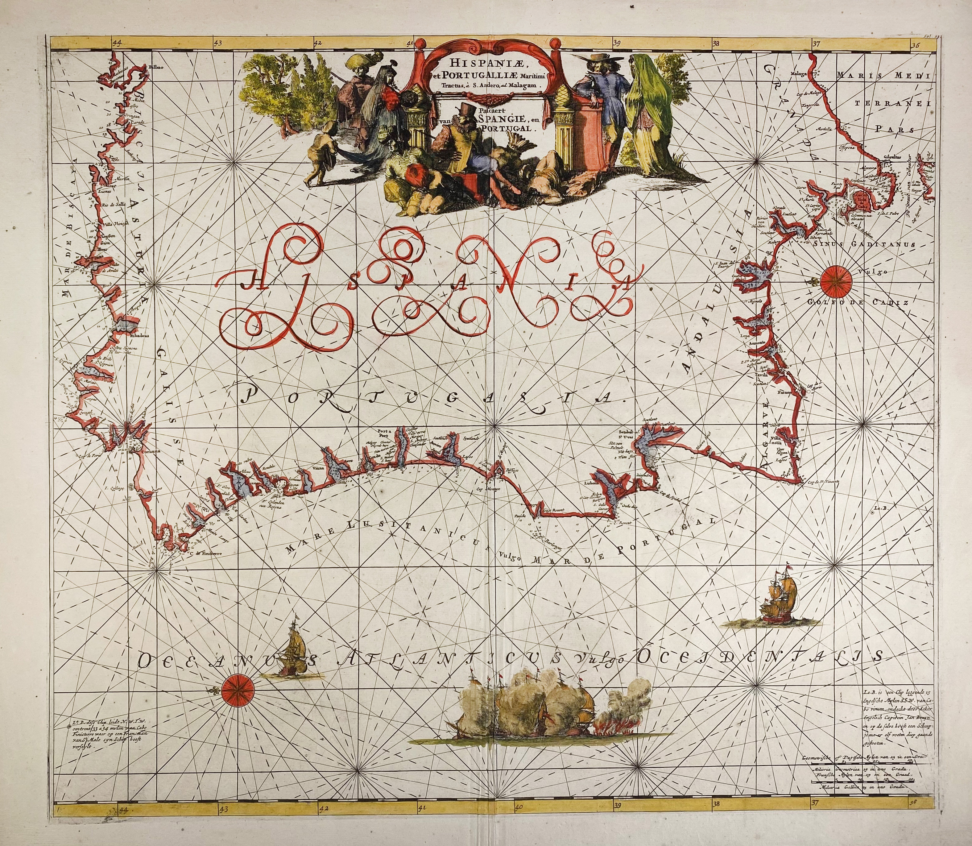
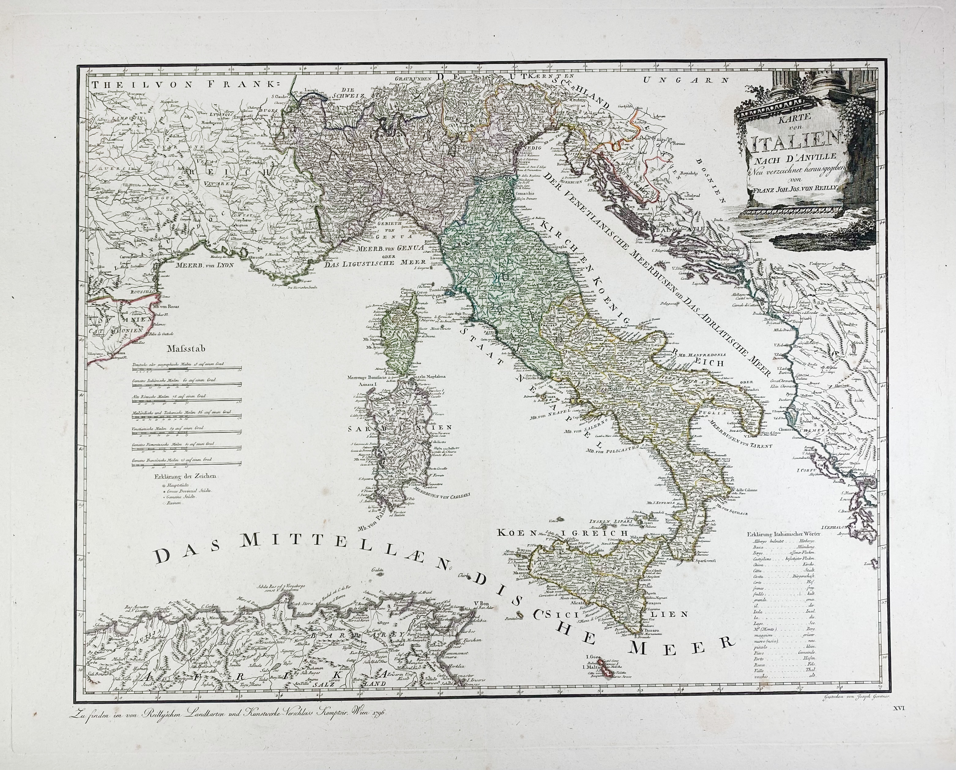
SPAIN -- "HISPANIÆ, et Portugalliæ Maritimi tractus, à S. Andreo, ad Malagam/Pascaert van Spangie, en Portugal". (Amst., L. Renard, 1715). Handcold. engr. chart of the coast of the Iberian Peninsula w. large cartouche in the upper centre. 495 x 568 mm. (A bit creased on fold). -- Added: "KARTE VON ITALIEN nach d'Anville neu verzeichnet herausgegeben von Franz Joh. Jos. von Reilly". Vienna, 1796. Partly handcold. engr. map. 495 x 630 mm. -- (2).
Ad 1: From "Atlas de la Navigation et du Commerce qui se fait dans toutes les parties du monde".€ 180
result € 340
Back

