Lot 1034
1034
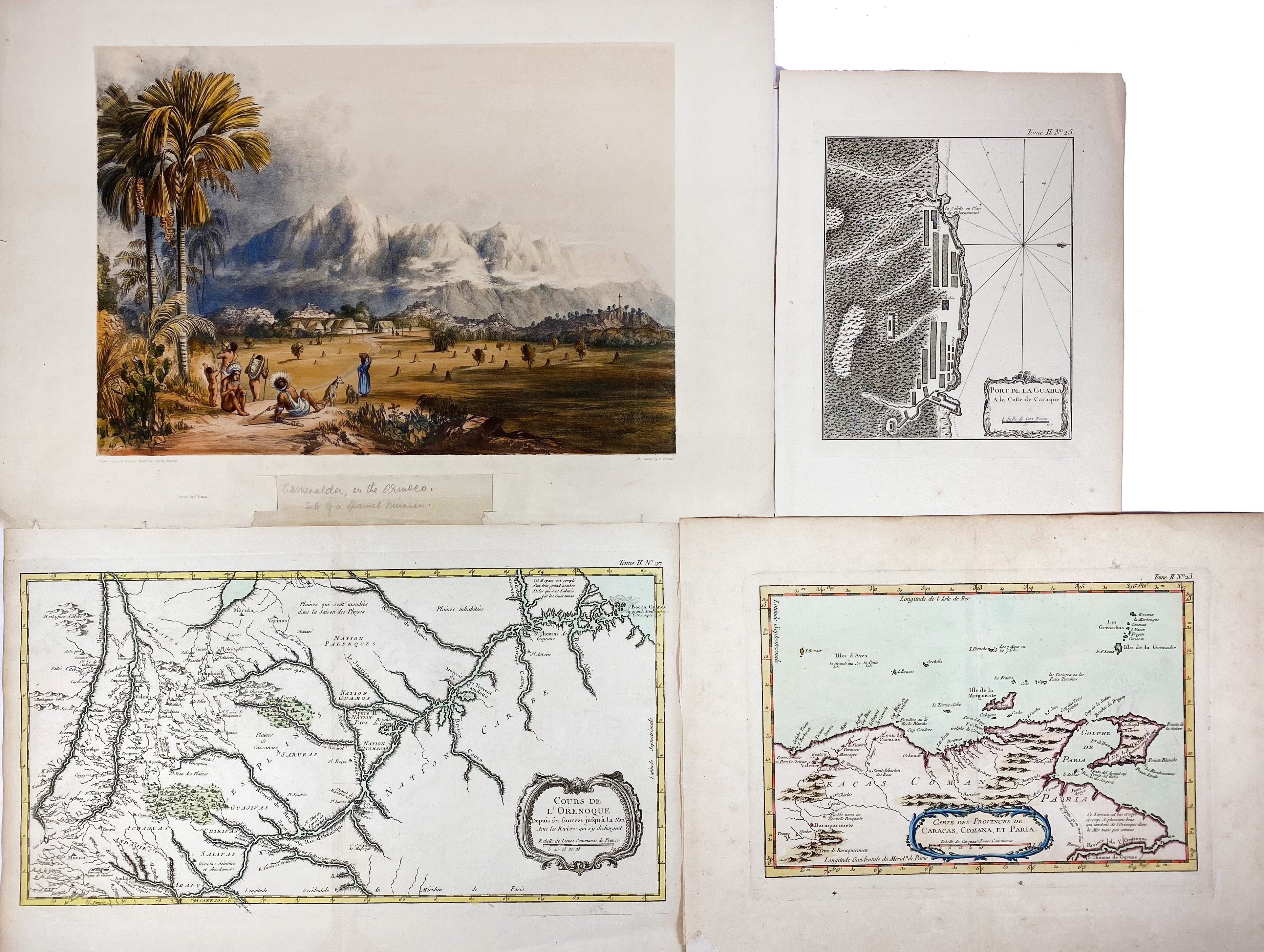
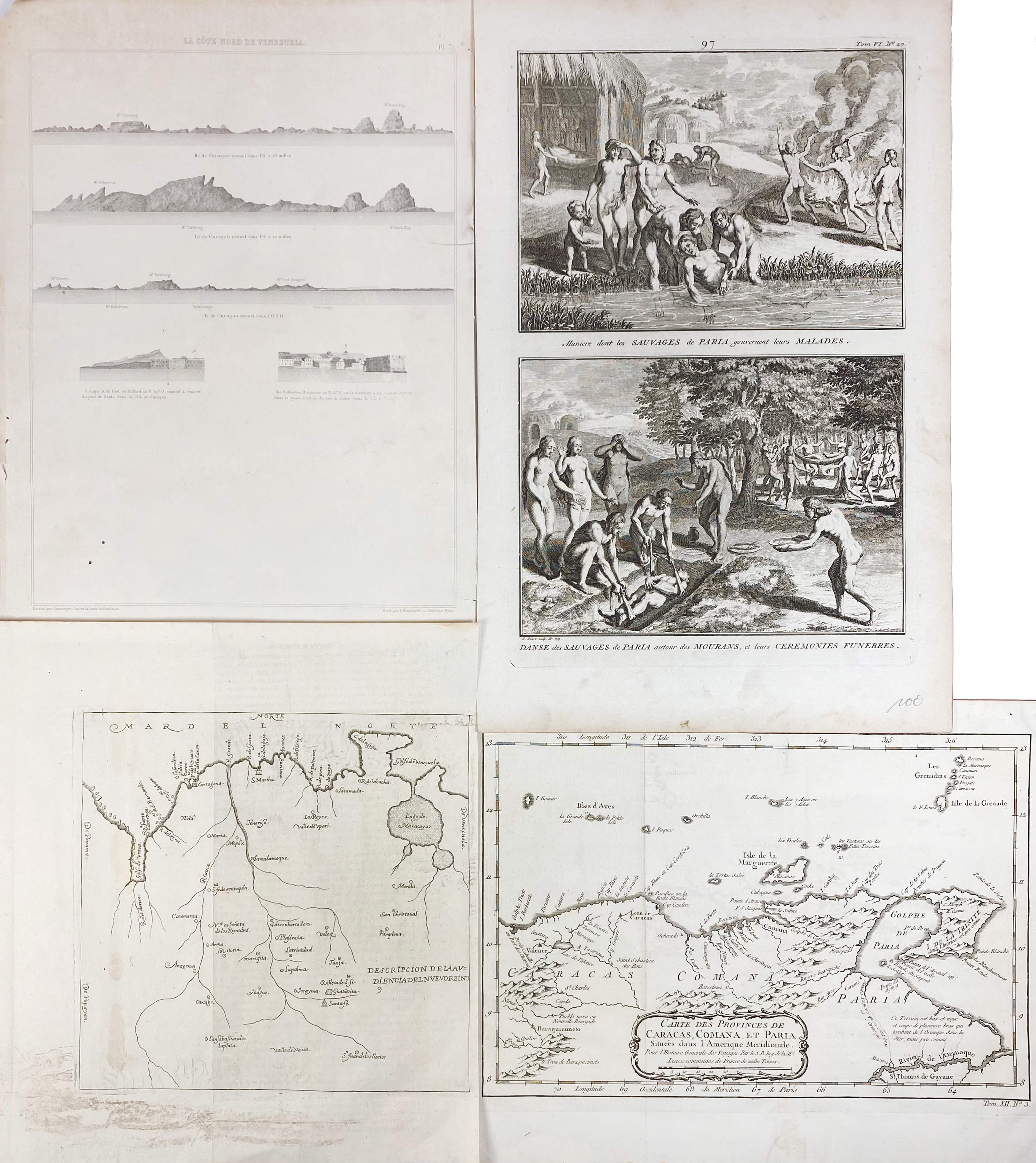
SOUTH AMERICA -- VENEZUELA -- "COURS DE L'ORENOQUE depuis ses sources jusqu'à la mer". Par., (1764). Handcold. engr. map by J.N. Bellin. 248 x 465 mm. (Sl. browned). -- "CARTE DES PROVINCES de Caracas, Comana, et Paria". Par., (1764). Handcold. engr. map by J.N. Bellin. 225 x 320 mm. (Hinges from previous mount present on v°, sl. browned/foxed). -- "PORTE DE LA GUAIRA. A la Coste de Caraque". Par., (1764). Plain engr. plan by J.N. Bellin. 230 x 185 mm. -- "ESMERALDA on the Orinoco, Site of a Spanish Mission". (1841). Cold. lithogr. by F. Gauci after Ch. Bentley. 282 x 400 (image size). (Title caption cut out, margin partly replaced, a few marg. tears/chips, sl. browned). -- And 4 o. relating to Venezuela. (8).
€ 120
result € 170
Back

