Kavel 825
825
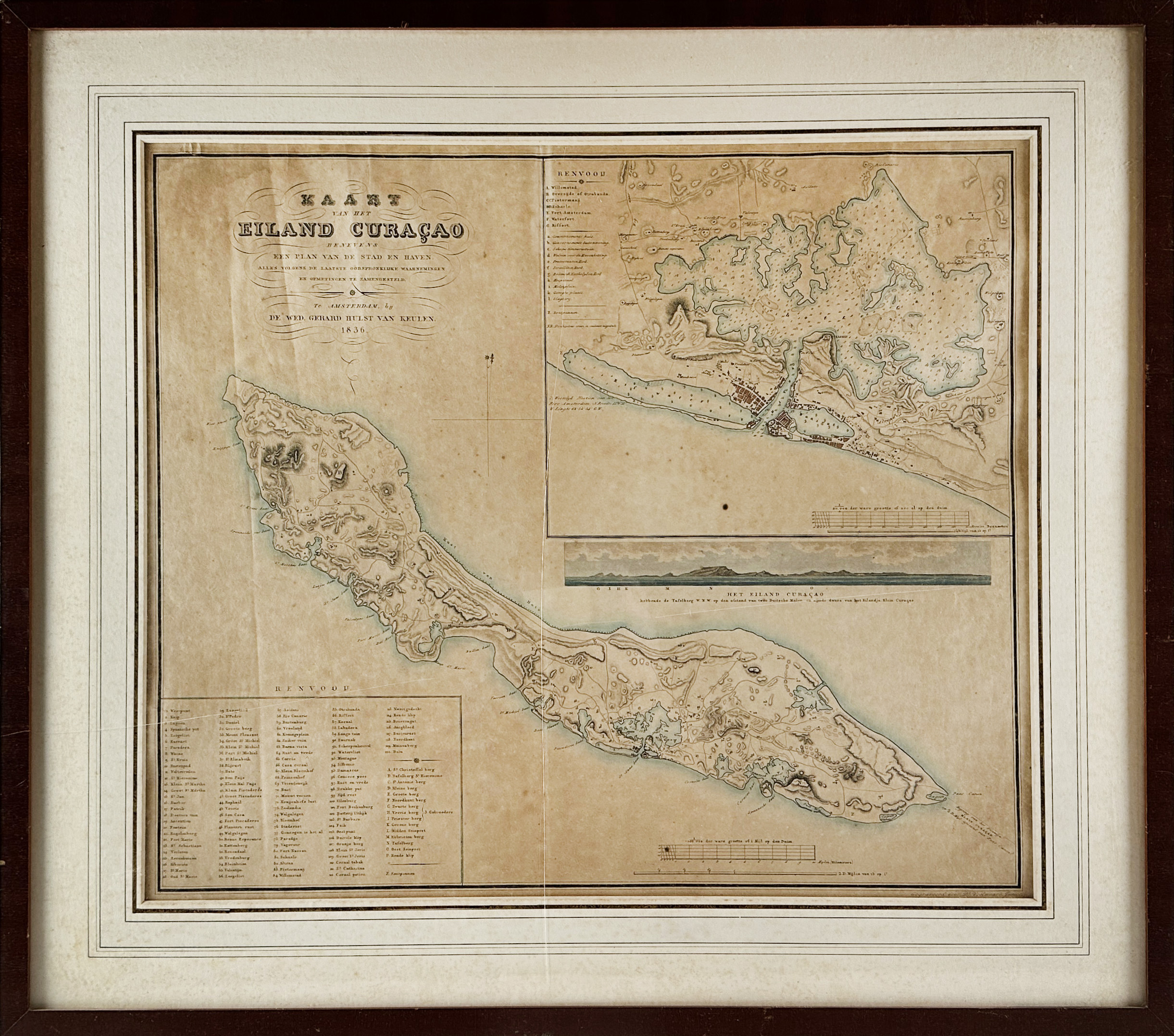
WEST INDIES -- "KAART VAN HET EILAND CURAÇAO benevens een plan van de stad en de haven". Amst., Wed. G. Hulst v. Keulen, 1836. Engr. map by D. Veelwaard jr., cold. by hand, w. large inset dep. Schottegat and a plan of Willemstad, a perspective view of the island and a key to the names of the plantations. 525 x 615 mm. Framed, under passepartout and glazed. (Browned/foxed, uninspected out of frame).
Renkema C157. First state (of 6).€ 200
uitslag € 1200
Terug
