Kavel 815
815
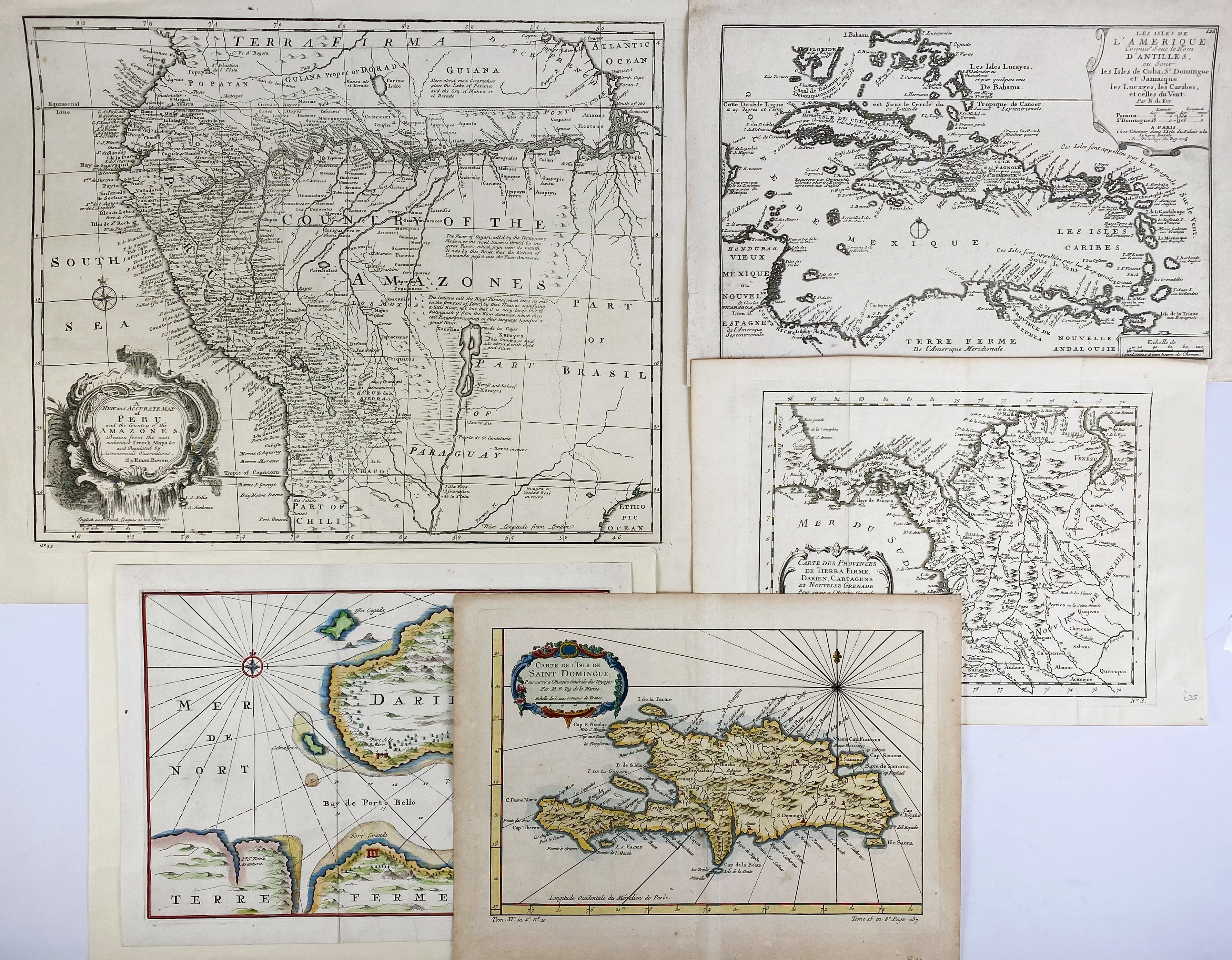
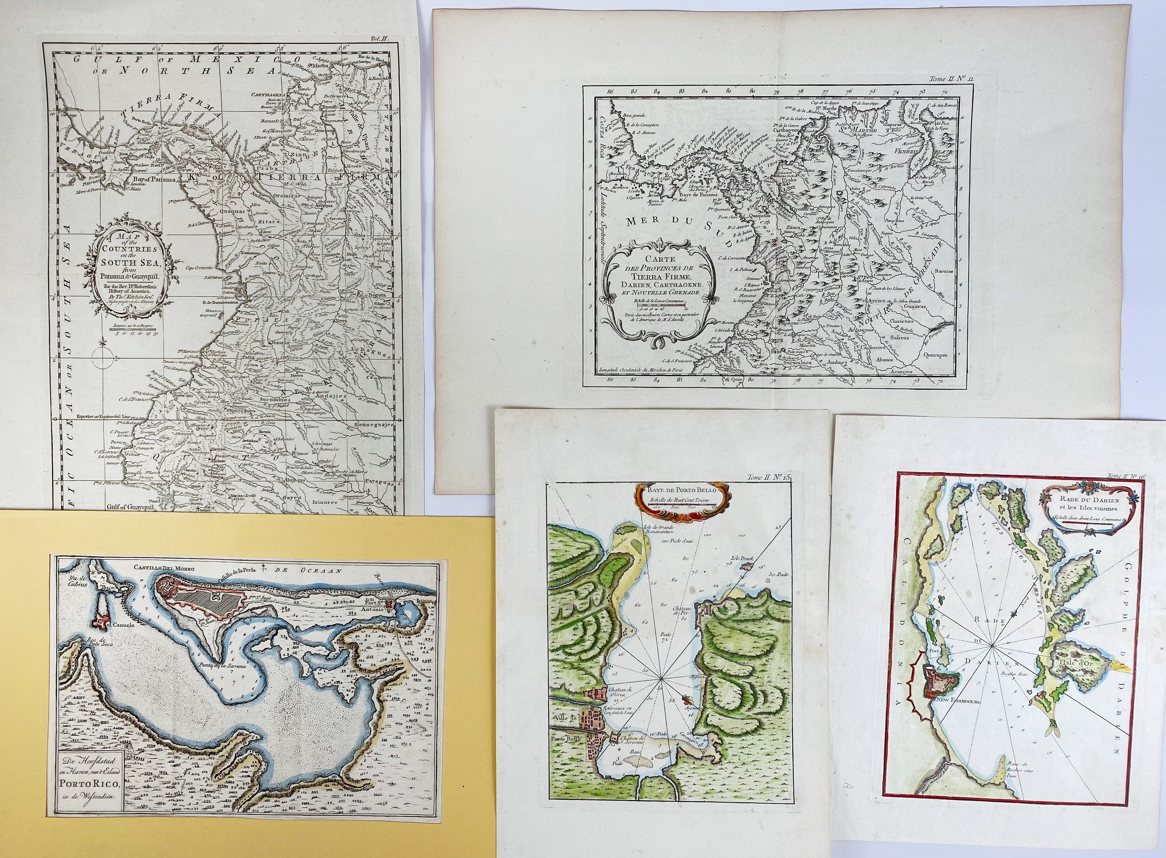
SOUTH AMERICA -- "A NEW AND ACCURATE MAP of Peru and the Country of the Amazones, drawn from the most authentick French maps &c. and regulated by astronomical observations". (1744). Plain engr. map by E. Bowen. 356 x 430 mm. -- "LES ISLES DE L'AMERIQUE connue sous le nom d'Antilles, ou sont les Isles de Cuba, St. Domingue et Jamaique (…)". Par., 1705. Engr. map by N. de Fer. 226 x 338 mm. -- "CARTE des provinces de Tierra Firme, Darien, Cartagene et Nouvelle Grenade". (Par., J.N. Bellin), 1756. Engr. map. 220 x 275 mm. -- "BAY ET CHATEAU de Porto Bello". (Par., 1764). Handcold. engr. map by J.N. Bellin. 220 x 315 mm. -- And 13 o. maps of South America, partly cold. (17).
€ 150
uitslag € 150
Terug

