Kavel 813
813
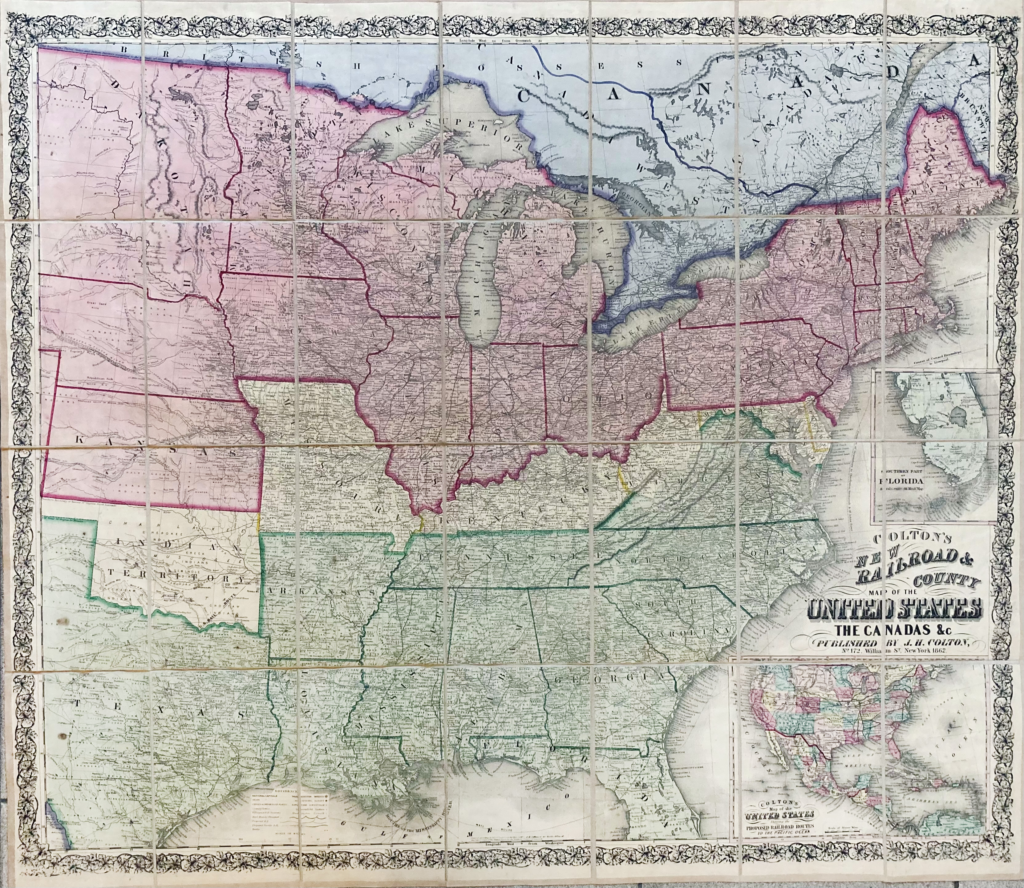
NORTH AMERICA -- "COLTON'S NEW RAILROAD & COUNTY MAP OF THE UNITED STATES, The Canadas &c.". NY, J.H. Colton, 1862. Steel engr. map within dec. floral border, cold. by hand and dissected in 28 parts, mounted on linen. Total size 89 x 102 cm. In sleeve and slipcase w. red ti.-label 'États Unis'.
W. 2 insets depicting Florida and North and Middle America. In fine condition. - Several ed. in Phillips, but not this one?€ 200
uitslag € 320
Terug
