Kavel 474
474
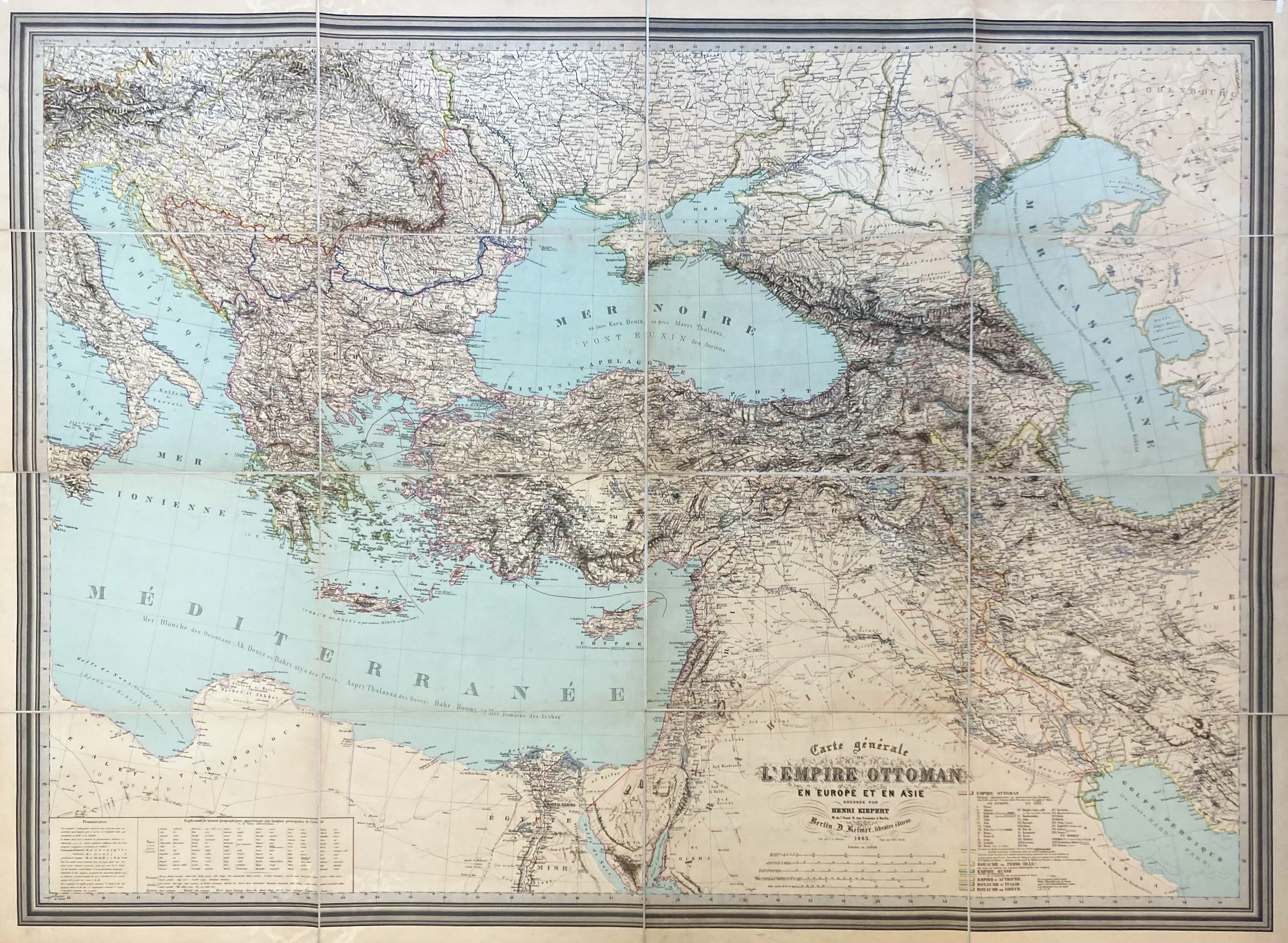
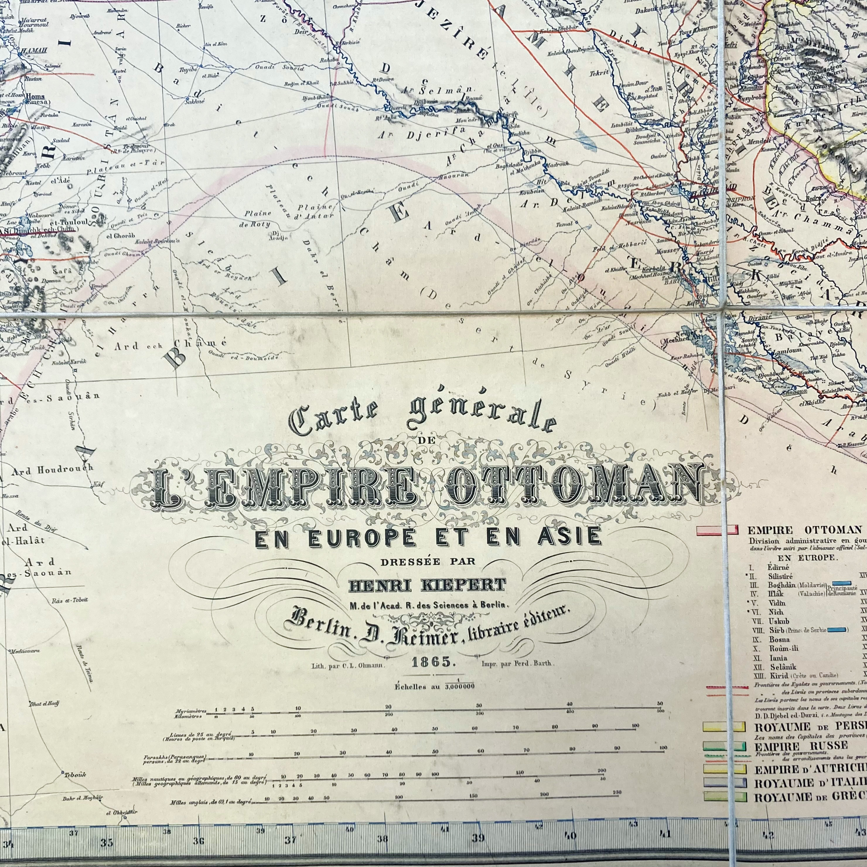
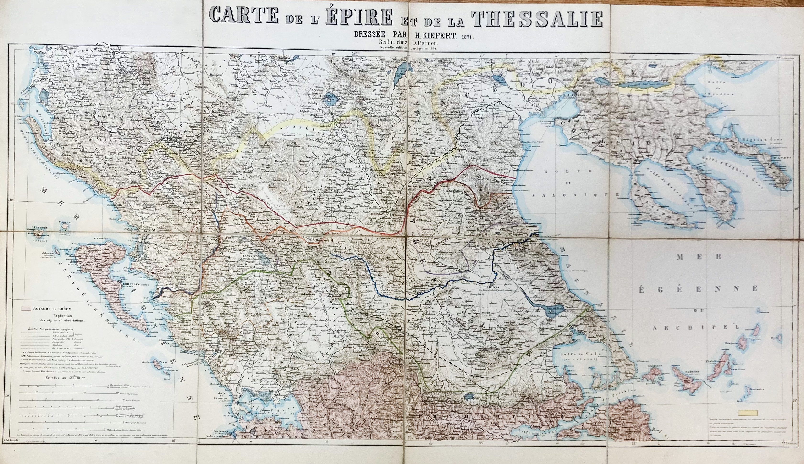
MAPS -- "CARTE GENERALE De l'Empire Ottoman en Europe et en Asie." Berl., D. Reimer, 1865. Lithogr. cold. map of Turkey, the eastern part of the Mediteranean Sea, the Levant and part of Egypt by H. Kiepert. Laid down on linen, dissected in 16 sections, w. the or. looped ties in the upper corners. 940 x 1270 mm. In ohcl. portfolio w. ties. (Portfolio w. some wear, red stamp "Tetschner Bibliothek" on back of the map). -- "CARTE DE L'EPIRE et de la Thessalie". 2nd ed. Berl., D. Reimer, 1871. Lithogr. cold. map of part of Greece by H. Kiepert. Laid down on linen, dissected in 8 sections. 535 x 930 mm. In ohcl. portfolio w. ties. (Discreet thumbtack holes in upper corners, portfolio w. some wear to extremities). -- (2).
€ 200
uitslag € 240
Terug


