Kavel 167
167
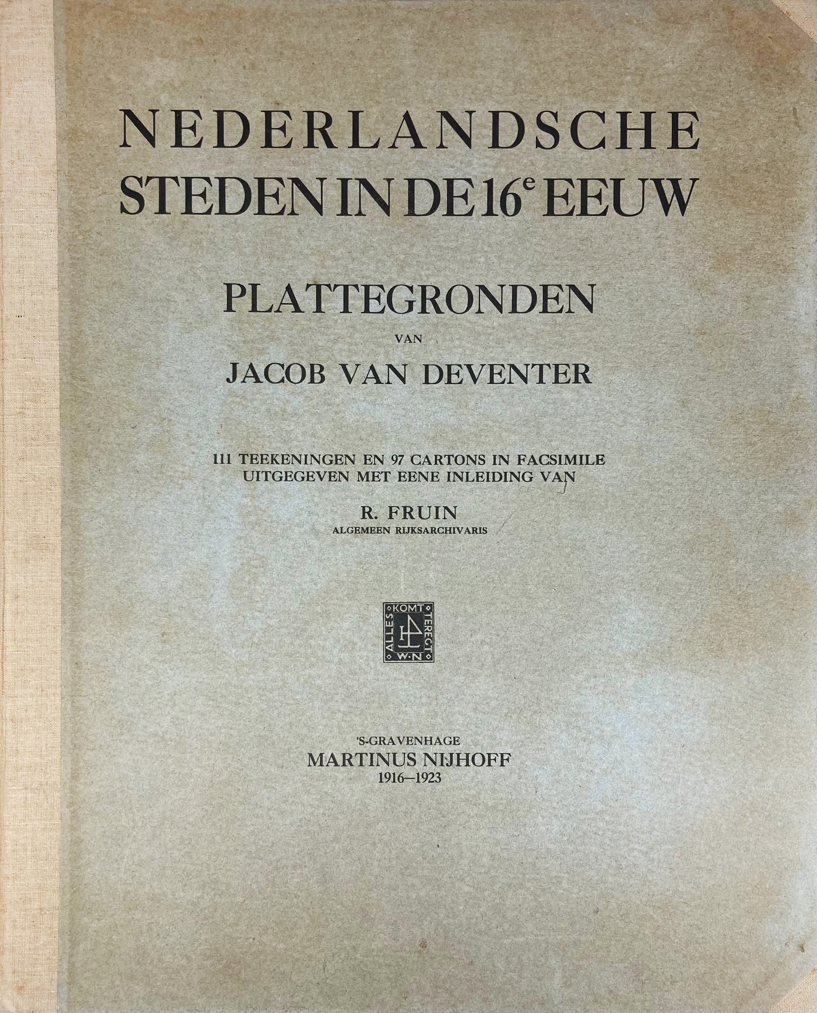
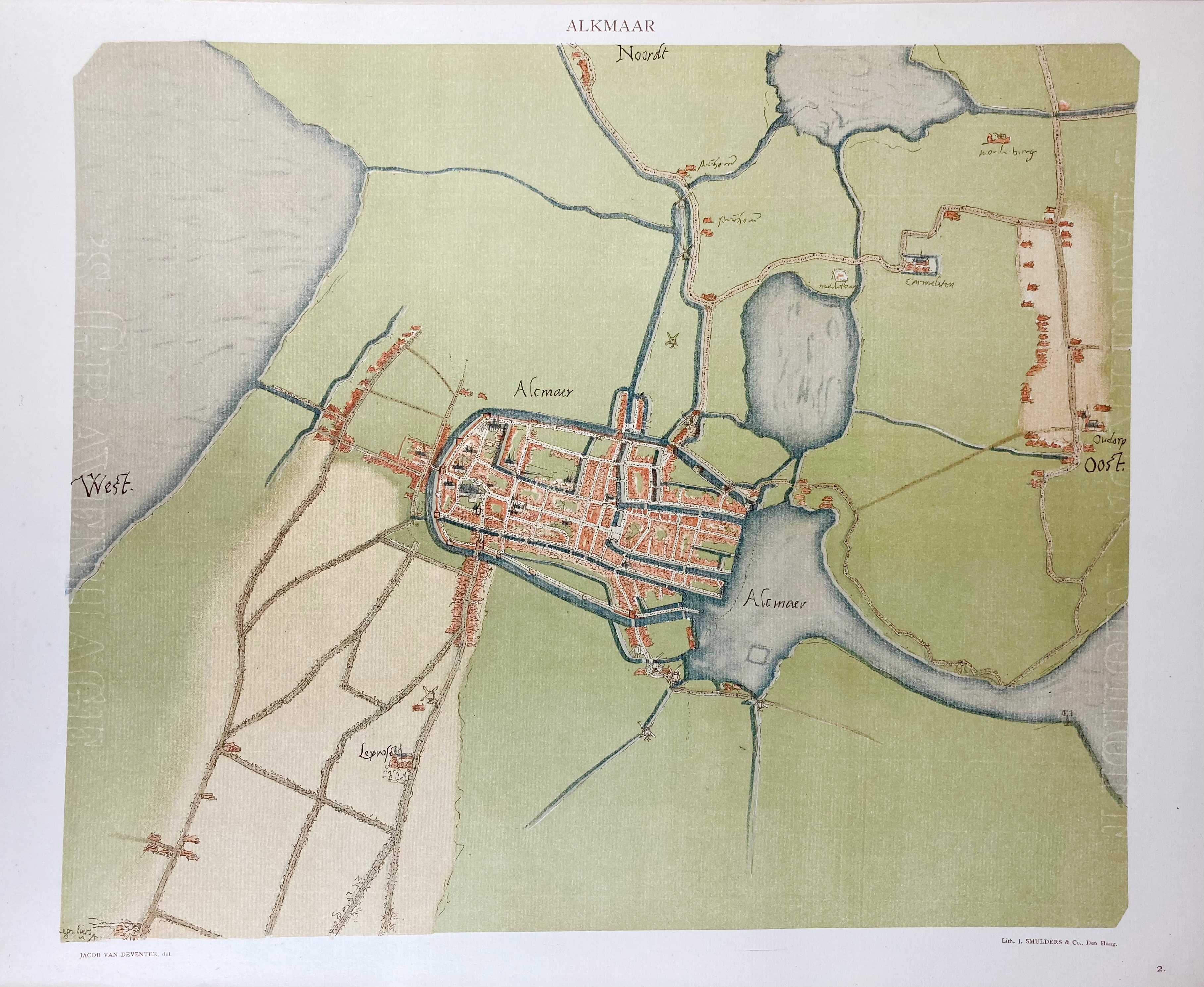
DEVENTER, J. v. Nederlandsche steden in de 16e eeuw: plattegronden. Uitg. met inl. v. R. Fruin. 's-Grav., M. Nijhoff, 1916-23. 12 pp. and 22 'cartons' w. 97 cold. lithogr. illustr. and 115 (partly fold.) cold. lithogr. facs. plans (counted as 111). Lge-fol. Tog. loose as issued in orig. clamshell hcl. portfol.
Jacob van Deventer (c. 1500/1505-1575) carried out the first mapping survey of the Netherlands provinces and towns, assigned to him by Charles V in the years 1535 until 1547. - From the library of the Dutch archaeologist A.E. v. Giffen (1884-1973) w. his signature. Rather scarce and complete w. all the plates called for in the index.€ 400
uitslag € 380
Terug

