Kavel 262
262
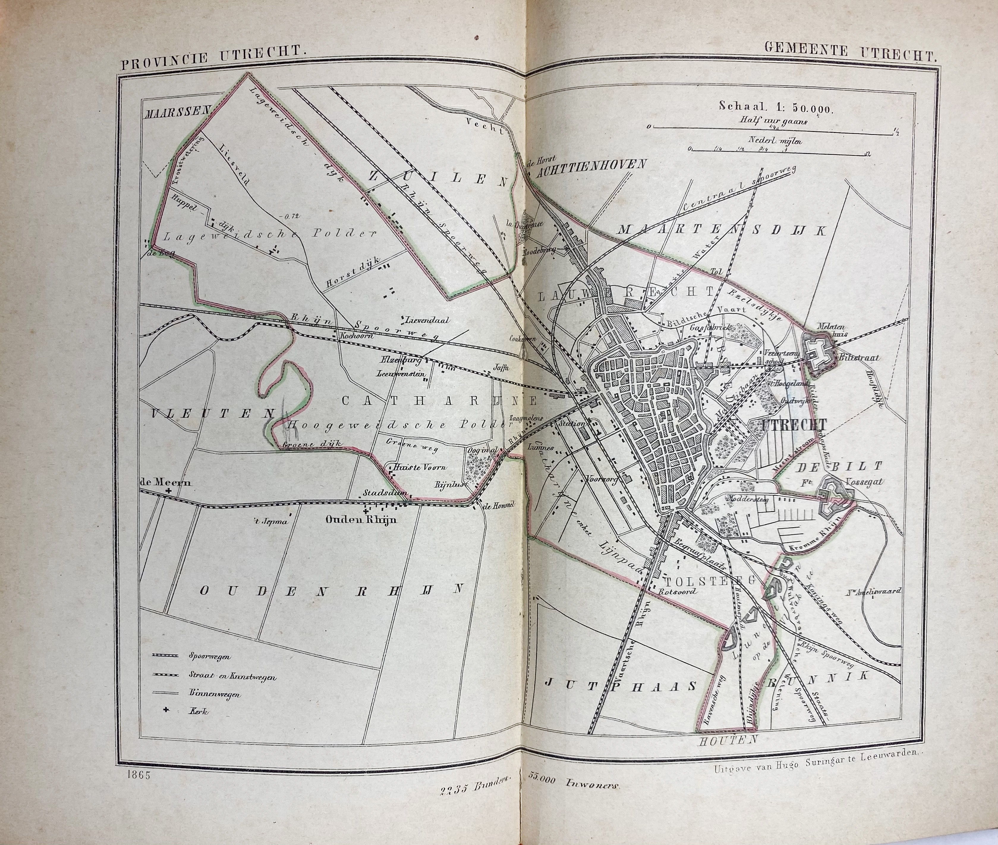
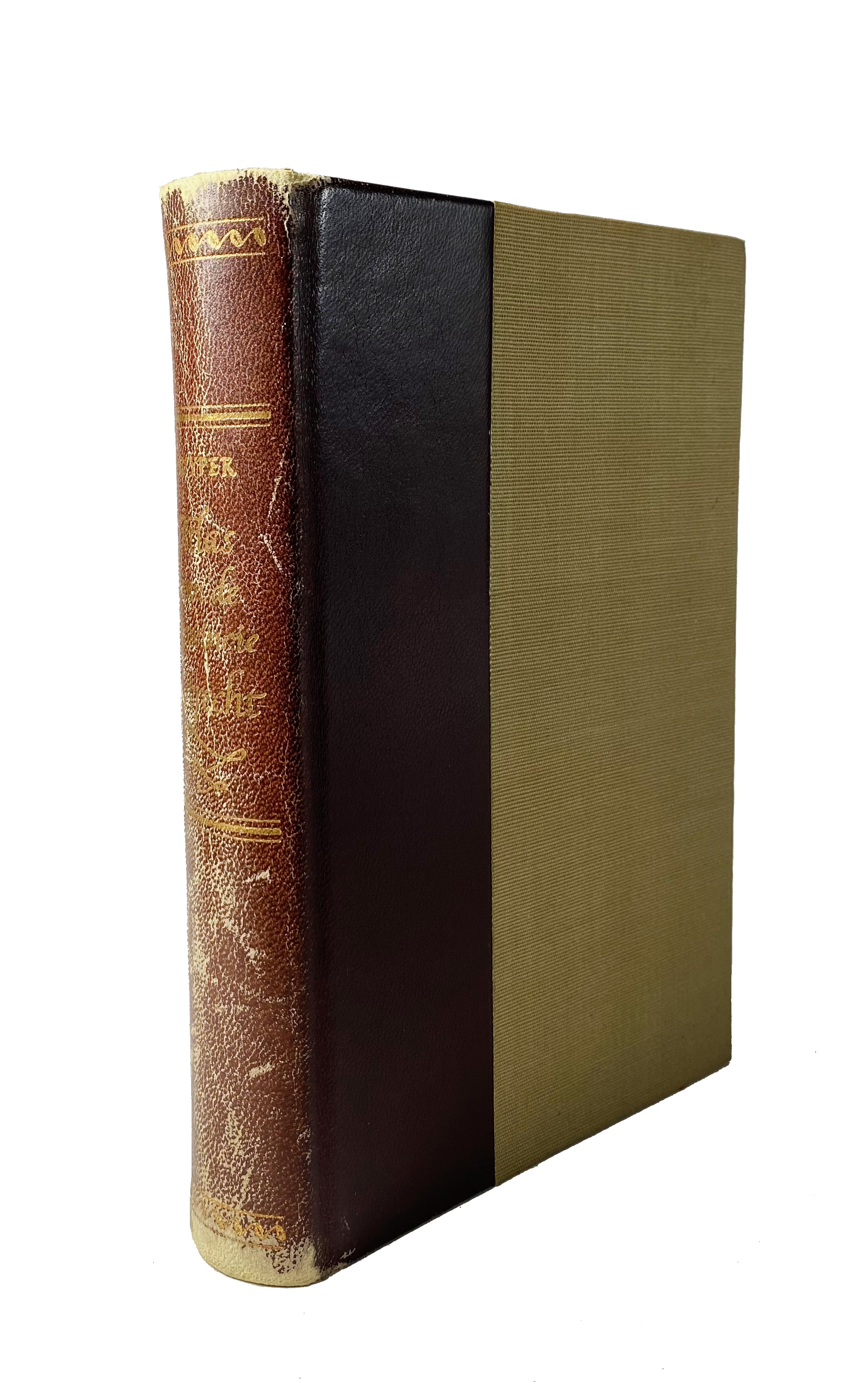
KUYPER, J. Gemeente-atlas van Utrecht. Leeuwarden, n.d. (1868). (4) pp. & 73 double-p. maps, partly cold. in outlines. Ohcf. (Spine a bit chafed, without map of province 'Utrecht', but with a map of 'Willige Langerak' taken from 'Zuid-Holland').
Koeman Kuy 19:5.€ 320
uitslag € 320
Terug