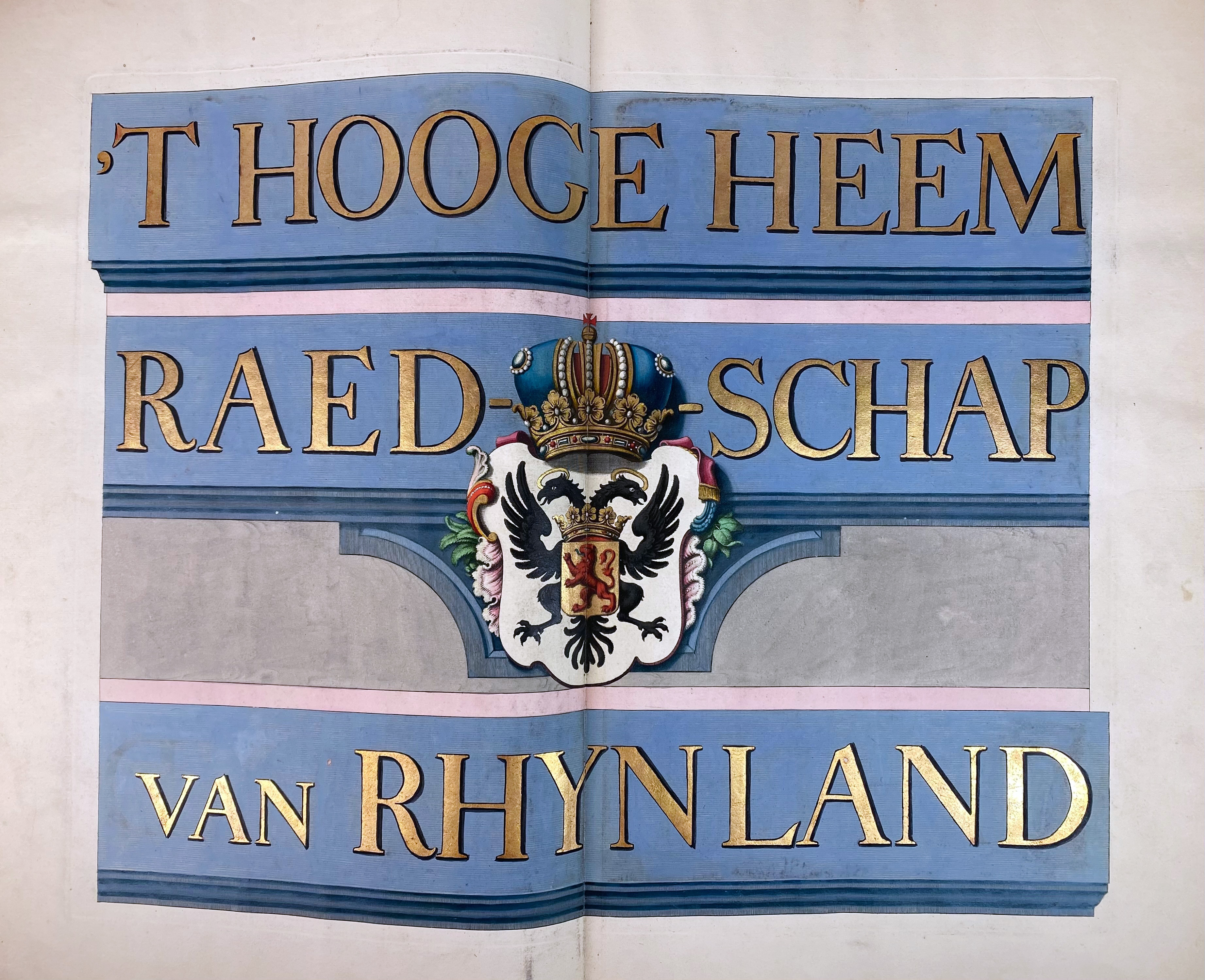
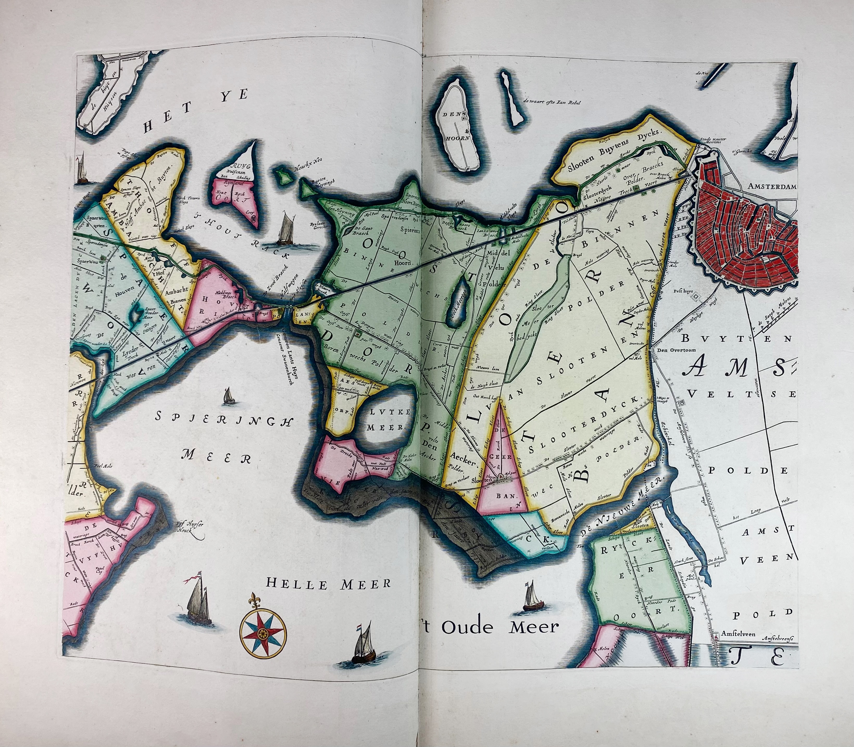
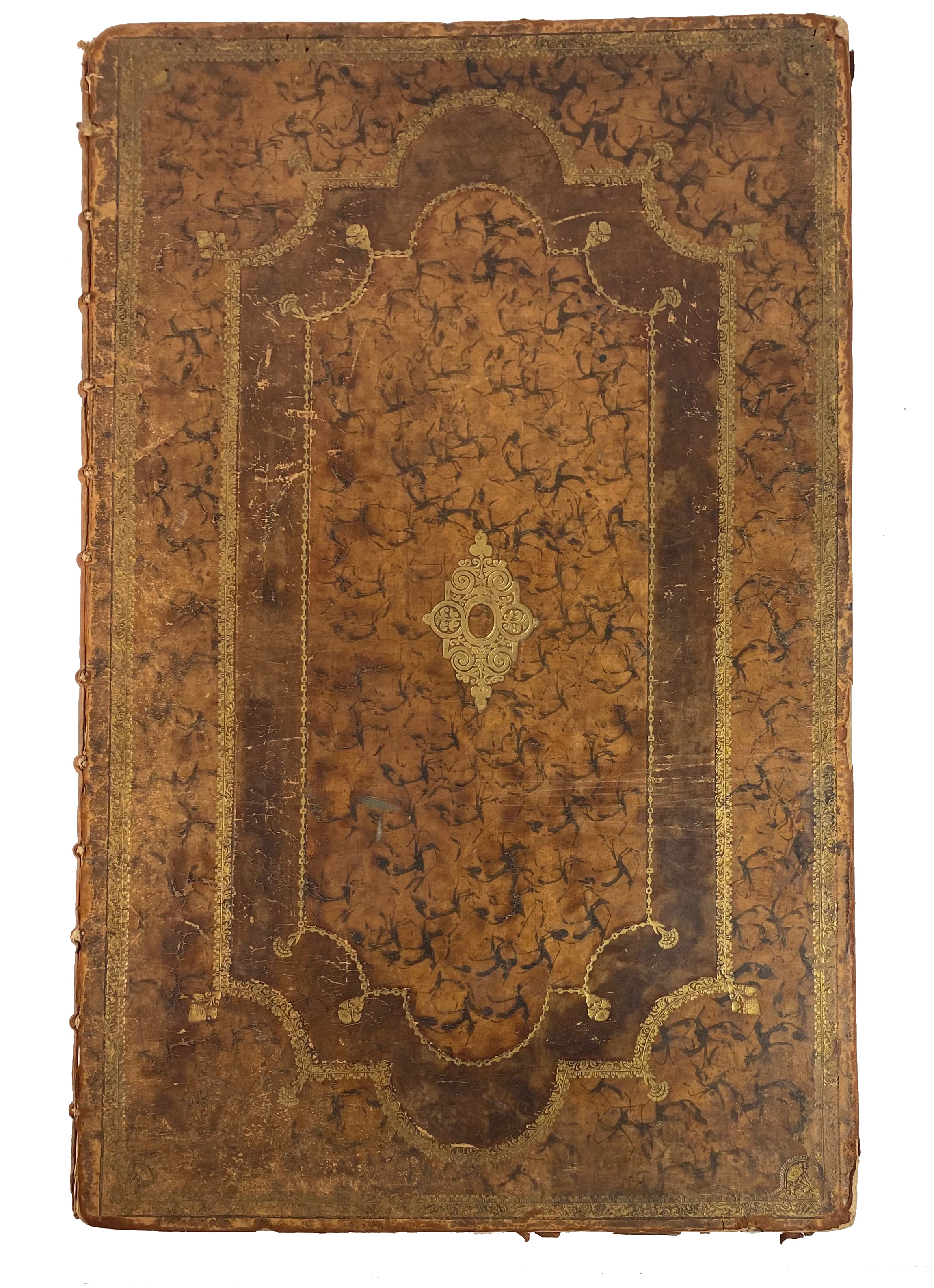
POLDER MAPS -- RIJNLAND -- (DOU, J.J. & S. v. BROECKHUYSEN). 't Hooge Heemraedschap van Rhynland. ((...) vernieuwd, geamplieerd en gecorrigeerd (d. M. Bolstra)). (Amst., I. Tirion, 1746). W. engr. title on 1 double leaf, 12 engr. maps on double leaves (tog. forming a wall-map of c. 186 x 168 cm), 1 engr. map of Haarlemmermeer on 1 double leaf & 1 engr. w. projected sluices near Katwijk on 1 double leaf, all in crisp cont. colouring. Lge-fol. Cont. panelled, mottled cf., w. raised bands, richly dec. gilt back, gilt lozenge shaped centerpiece on both sides, surrounded by 3 gilt dec. borders. (Extremities dam./worn, joints split, labels gone, bind. chafed/rubbed in places, apart from some minor splits in good interior condition).
Third, corrected edition of this fine, coloured and detailed polder atlas of Rijnland. The maps were engraved by David Coster after Melchior Bolstra's revision and augmentation of the second edition of 1687/88. The last plate represents the 'Concept sluijzen 1629' (representation of the sluices) near Katwijk. The maps can be assembled into a large wall map. Donkersloot-De Vrij, 715 mentions the name of the publisher who can not be found on the maps themselves. She also states that the edition was limited to 650 copies only. - Renkema 202.3; Koeman, Geschiedenis van de Kartografie van Nederland, p. 138.€ 2200
uitslag € 4200
Terug