Kavel 998
998
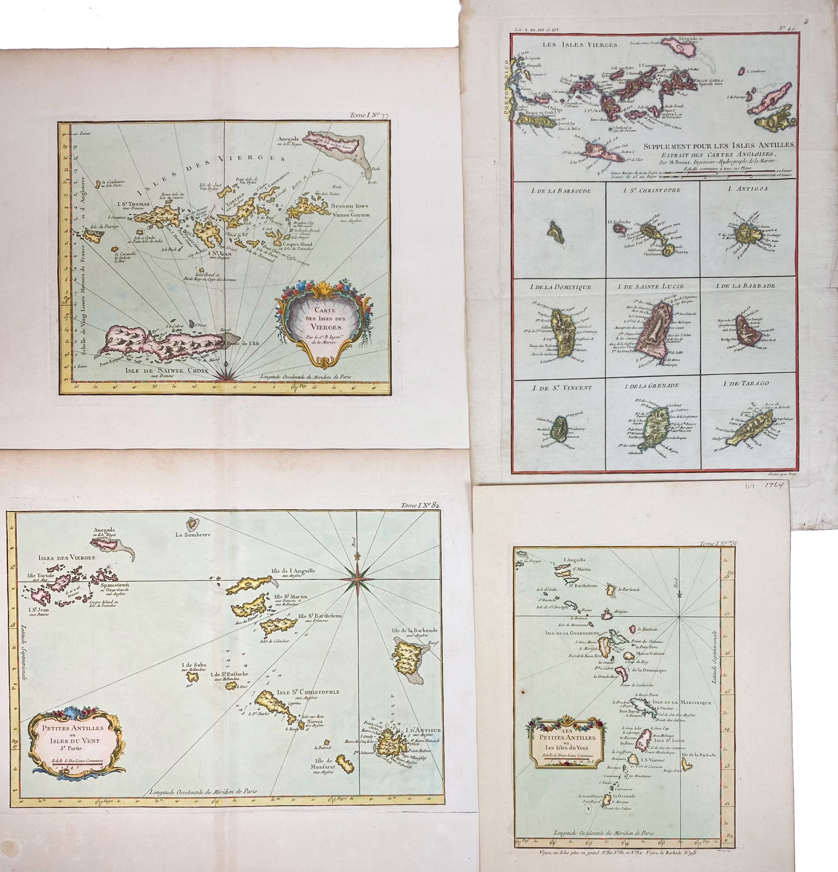
SOUTH AMERICA -- CARIBBEAN -- "CARTE DES ISLES DES VIERGES". Par., (1764). Handcold. engr. map by J.N. Bellin. 210 x 255 mm. -- "PETITES ANTILLES ou Isles du Vent 3e. Partie". Par., (1764). Handcold. engr. map by J.N. Bellin. 230 x 365 mm. -- "PETITES ANTILLES ou les Isles du Vent". Par., (1764). Handcold. engr. map by J.N. Bellin. 230 x 170 mm. -- "SUPPLEMENT pour les Isles Antilles. Extrait des cartes angloises". (c. 1780). Handcold. engr. map by M. Bonne. 342 x 225 mm. (Margins a bit stained/frayed). -- (4).
€ 200
uitslag € 280
Terug