Kavel 985
985
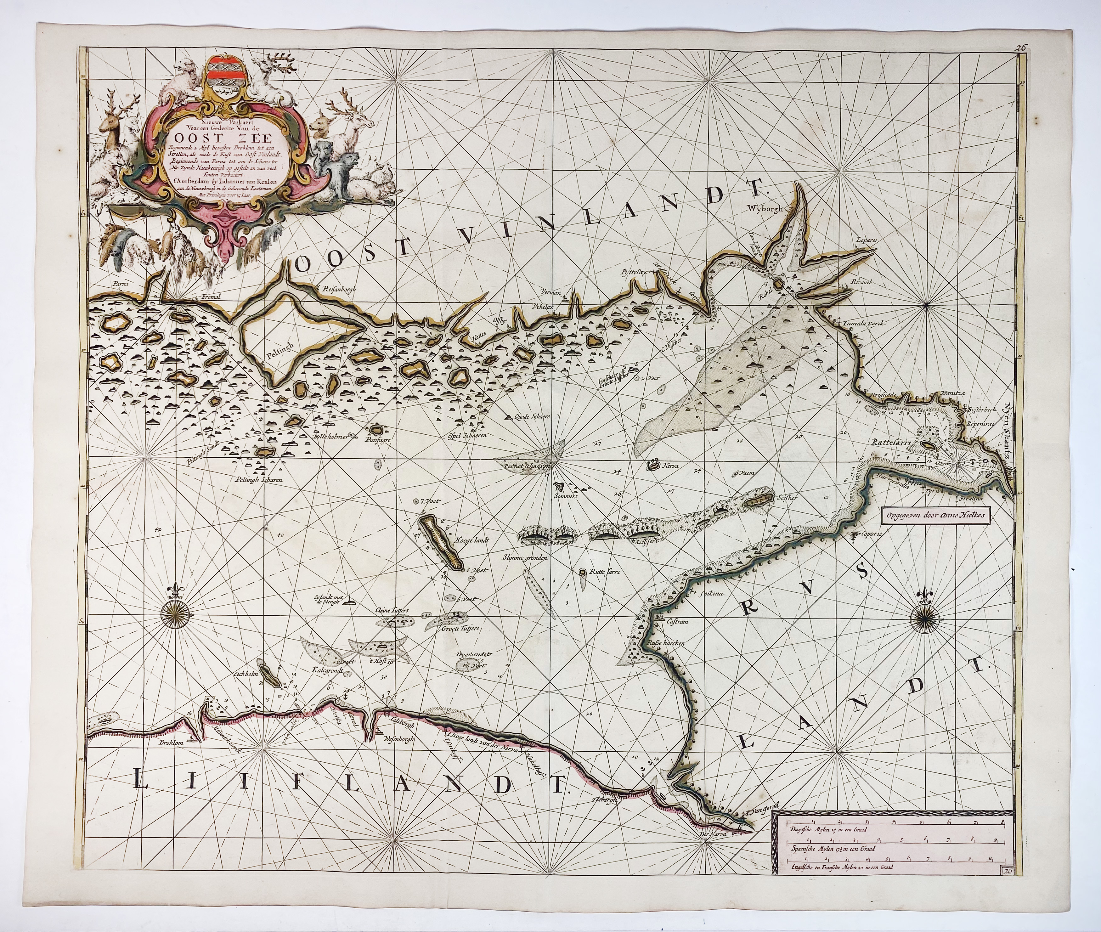
SEA CHARTS -- BALTIC SEA -- "NIEUWE PASKAERT voor een gedeelte van de Oost Zee". Amst., J. v. Keulen, (c. 1684). Handcold. engr. chart. 502 x 585 mm. (Suffering from ink corrosion along thicker ink lines in a few places, causing unobtrusive, but small fractures in the paper (rep. on v°), sl. foxed/browned).
Koeman IV, p. 381 [56].€ 200
uitslag € 280
Terug
