Kavel 956
956
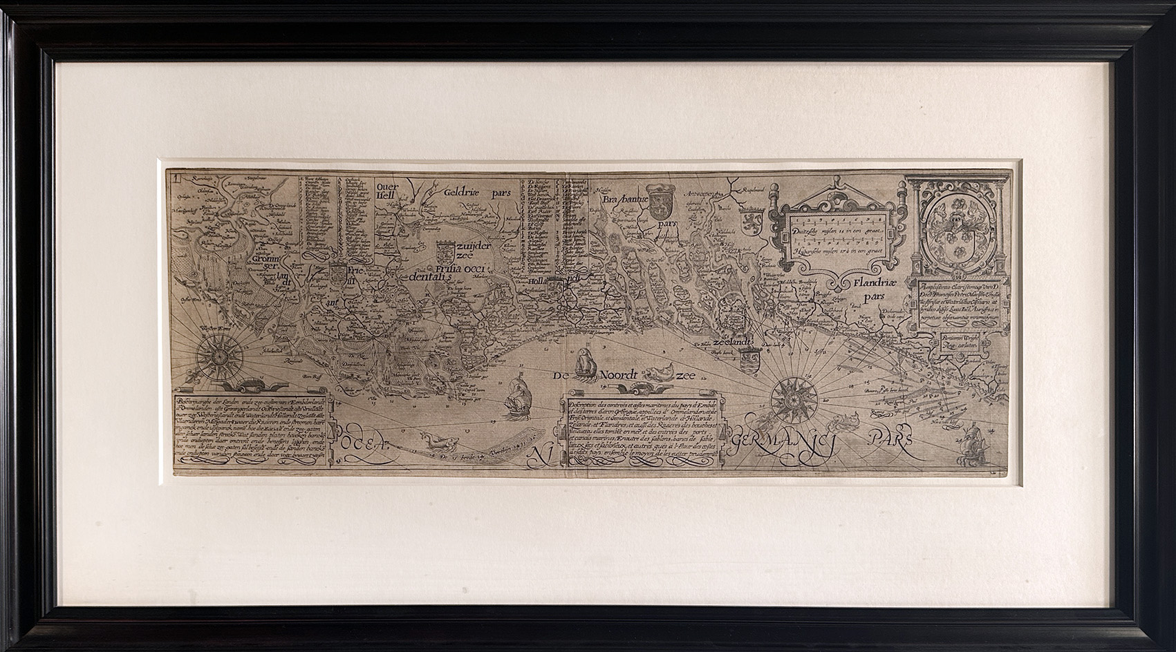
LOW COUNTRIES -- CHARTS -- "BESCHRIJVINGHE DER LANDEN ENDE ZEE-CUSTEN VAN EEMBDERLANDT (…) Hollandt, Zeela[n]dt ende Vlaenderen (…)/DESCRIPTION des contrées et costes maritimes du pays d'Embde et des terres e[n]viton Gro[n]ingue, (…)". (Amst., C. Claesz., n.d. (±1600)). Engr. chart by Benjamin Wright of (part of) the Belgian, Dutch and (part of) the German coast from Waghenaer's 'Thresoor der zeevaert', printed on 2 conjoined lvs. 200 x 555 mm. (Cut close to printing border, but in v.g. condition). Professionally framed, mounted on acid-free paper, glazed and under passepartout.
Fine and very rare chart of the coastal line of the North Sea from Flanders to Germany with 2 compass roses, indexes, ships, sea monsters, several cartouches of which 1 dedicatory cartouche with family crest of F.P. Maelson of Enkhuizen, etc. - Koeman IV, p. 504 (1B).€ 3000
uitslag € 4000
Terug
