Kavel 928
928
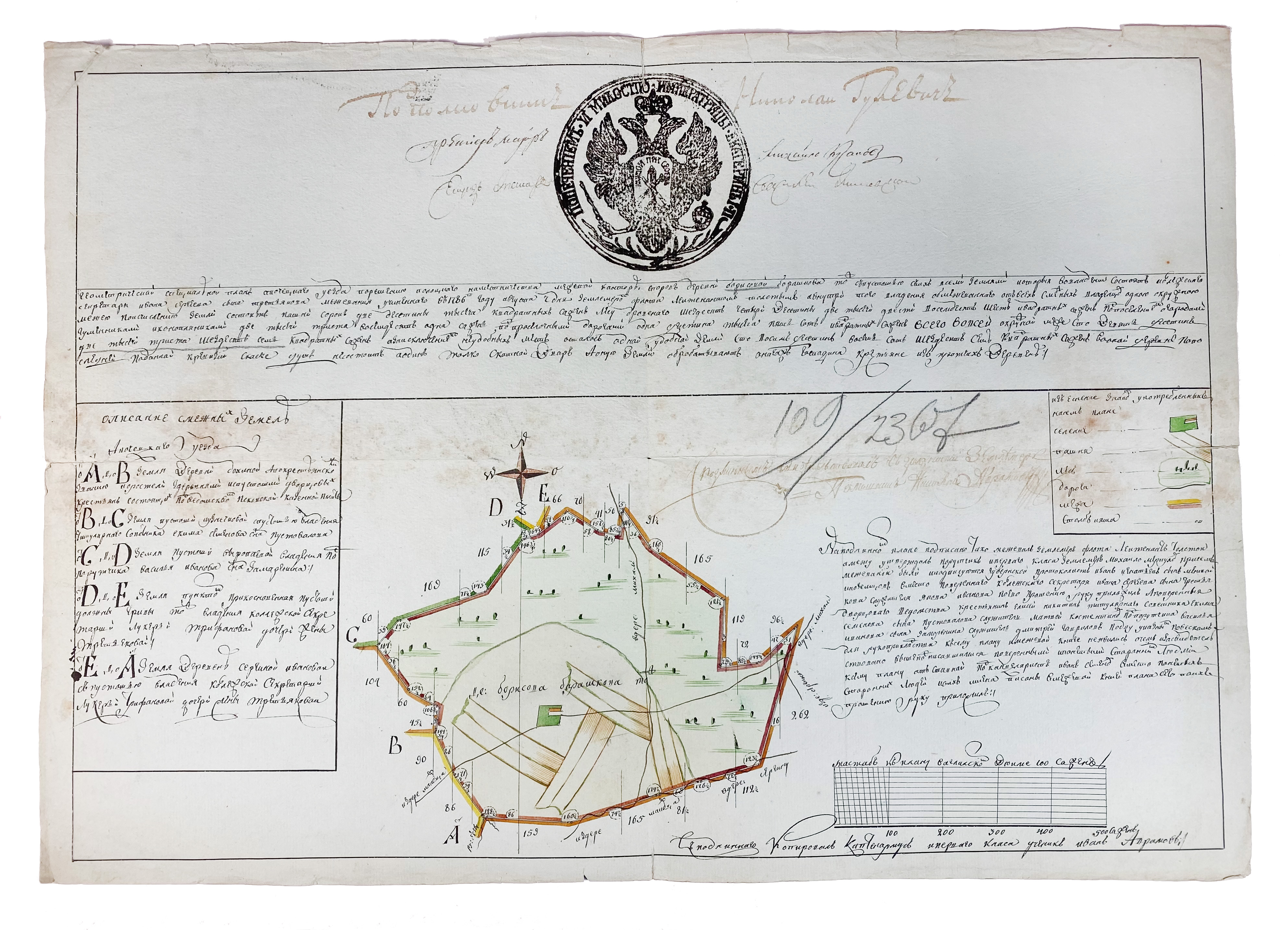
BELARUS -- MANUSCRIPT MAP of the Belarusian city of Polotsk. (1786). Plan of Polotsk drawn on blueish paper by Ivan Abramovich (?), cold. by hand, with a compass rose, surrounded by explanatory texts, a diagram, a handcold. legend. At the top a woodcut seal of Empress Catherine II (The Great) of Russia with double-headed eagle. (A few tiny creases/tears, sev. sm. repairs on v°, some minor foxing in the middle).
Polotsk is the oldest Belarusian city, situated in the North on the Dvina River. It already existed in the first half of the 9th century. After the first partitioning of Poland (1772) the part of Polotsk on the right bank devolved to the Russian Empire, so that is the situation when this map was made. It was joined by the left bank after the second partitioning (1793).€ 200
uitslag € 550
Terug
